Download
1 / 23
230 likes | 387 Vues
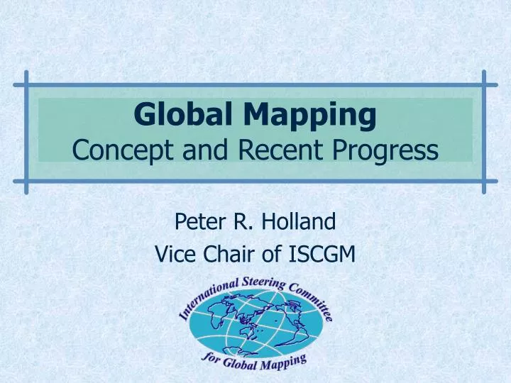
Peter R. Holland Vice Chair of ISCGM. Global Mapping Concept and Recent Progress. 1992. Agenda 21 describes the need of geographic information, but available data were insufficient.

E N D
Peter R. Holland Vice Chair of ISCGM Global MappingConcept and Recent Progress
1992 • Agenda 21 describes the need of geographic information, but available data were insufficient. • Contribution from Survey and Mapping sector: provision of global geographic information for global environment research and decision making. Global Mapping iscgm.org
What is a Global Map? • Digital geographic dataset of • Global coverage • Consistent specifications • Worldwide open distribution iscgm.org
Global Map Specifications • Spatial resolution: 1km, or 1:1,000,000 • 8 Layers • Vector • Transportation, Boundaries, Drainage, Population Centres • Raster • Elevation, Vegetation, Land Cover, Land Use • Open and available online iscgm.org
Best Use of Innovative Technologies Global Map boundaries transportation data analysis population centers drainage system earth observation data elevation vegetation land use land cover satellite data geographic information systems
Implementation of Global Mapping Project • Respective National Mapping Organizations’ voluntary contribution • Each NMO has responsibility for the data production iscgm.org
1996 2nd International Workshop on Global Mapping, Tsukuba, Japan The International Steering Committee for Global Mapping (ISCGM) was established. iscgm.org
Organization of the ISCGM • 20 members from 16 countries • 8 advisors • Chair: Prof. D. R. F. Taylor (Carleton University) • Secretariat: Geographical Survey Institute, Japan iscgm.org
Organization of the ISCGM • Member countries and organizations Australia, Bangladesh, Canada, China, Colombia, France, Iran, Japan, Kenya, Republic of Korea, Malaysia, New Zealand, Niger, South Africa, United Kingdom, USA, EuroGeographics, SCAR-GGI • Advisory organizations • UN Statistics Division, UN Cartographic Section, UN Environment Program, UN University, ICA, US Department of State iscgm.org
1997 UN General Assembly, 19th Special Session “Program for the further implementation of AGENDA 21” includes a paragraph that states the necessity of Global Mapping. iscgm.org
“Program for further implementation of AGENDA 21” • Adopted document of the UN General Assembly, June 1997, paragraph 112: “A supportive environment needs to be established ... to facilitate public access to information on global environmental issues ... using ... such tools as geographic information systems and video transmission technology, including global mapping. ...” iscgm.org
1998-11 UN sent each NMO a letter inviting to Global Mapping Project Remarkable Increase of Participation iscgm.org
Current Participation Status Participation status of countries and regions: • 11 participating already released Global Map Version 1.0. • 101 are directly participating. • 39 are participating through EuroGeographics (15 are also directly participating). • 19 are positively considering participation. -> In total, 125 are participating (About 80% of the land area are covered.) iscgm.org
Coverage Ratio to Land Area As of August 2002 80% of the globe are covered by Global Mapping Project iscgm.org
2000-: Release of the GM Version 1 • Nov. 2000: Lao P. D. R., Nepal, Sri Lanka, Thailand, Japan • Dec. 2000: Philippines • May. 2001: Colombia • Jun. 2001: Australia • Jul. 2001: Bangladesh • Dec. 2001: Mongolia • Mar. 2002: Panama iscgm.org
Global Map Screenshots iscgm.org
Global Map Screenshots iscgm.org
Global Map Screenshots iscgm.org
Global Map Screenshots iscgm.org
2002 World Summit on Sustainable Development (WSSD) Johannesburg, Aug-Sep 2002 “Global Mapping” is included in the “Plan of Implementation” of WSSD iscgm.org
Plan of Implementation of WSSD • As of WSSD PrepCom4, Bali, 2002 114. Promote the development and wider use of earth observation technologies, including satellite remote sensing, global mapping and geographic information systems to collect quality data on environmental impacts, land use and land-use changes, [including through actions at all levels to:][with actions to:] • … • … • [Agreed] Encourage initiatives and partnerships for global mapping. iscgm.org
Conclusion Global Map is a significant contribution for the implementation of Agenda 21 under the worldwide collaborative efforts by respective countries iscgm.org