Download
1 / 11
110 likes | 232 Vues
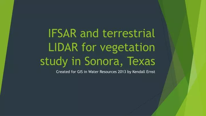
IFSAR and terrestrial LIDAR for vegetation study in Sonora, Texas. Created for GIS in Water Resources 2013 by Kendall Ernst. Agenda. Background Method and Results Future Work Acknowledgments Questions. Background.

E N D
IFSAR and terrestrial LIDAR for vegetation study in Sonora, Texas Created for GIS in Water Resources 2013 by Kendall Ernst
Agenda • Background • Method and Results • Future Work • Acknowledgments • Questions
Background • Purpose: improve existing carbon biomass estimation techniques by applying higher resolution remote sensing data • Furthering current methods • Broader impacts for developing countries through the UN CollabrativeProgramme on Reducing Emissions from Deforestation and Forest Degredation in Developing Countries (UN-REDD) • Research team at Texas A&M and UT Knoxville Image source: http://storiesrhymesandsingalongtimes.blogspot.com
Background • Study Site: Sonora, TX • Texas Sonora AgriLife Research Station (SARS) • divided into 5 different prescribed fire frequencies • Representative vegetation
Method and Results • Technology • NEXTmapinterferometric synthetic aperture RADAR (IFSAR) • ± 30-cm to 3-m vertical accuracy • 0.9-m baseline at 5-m X 5-m pixel resolution • Terrestrial laser scanning (TLS) • 360° horizontal and a 270° vertical field of view • 532 nm green laser with a pulse of 55,000 points per second • spot diameter size up to a range of 50-m of 4.5mm with a ± 2mm ranging accuracy DSM DTM Specs provided by Washington-Allen and Delgado
Method and Results • Sampling • TLS samples taken in 30 m x 30m plots • Six 5 m x 5 m IFSAR cells in each sample area • Error • Radar penetrates tree cover, which necessitates calibration. TLS provides highly accurate height data and is used to calibrate height across the plot Plot 5
Future Work • Extract height data for only 30 m x 30 m plots • Perform statistical analysis to calibrate height data • Potentially extract tree data using TreeVaw or ArcGIS • Density • Crown width • Etc. • Potentially apply allometric equations to determine carbon content
Ackowledgements • Dr. Robert Washington-Allen • Alfredo Delgado • Dr. Maidment and Dr. Tarboton