Download
1 / 23
250 likes | 651 Vues
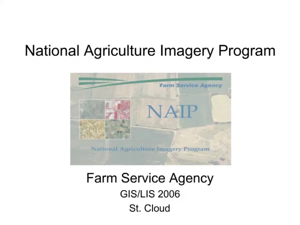
National Agriculture Imagery Program (NAIP). W. Geoffrey Gabbott, Chief Contracting Officer USDA FSA Aerial Photography Field Office Salt Lake City, Utah Geospatial ’09 Snowbird Conference Center. NAIP – Past, Present, and Future. NAIP Background and History 5 Year Cycle > 3 Year Cycle

E N D
National AgricultureImagery Program (NAIP) W. Geoffrey Gabbott, Chief Contracting Officer USDA FSA Aerial Photography Field Office Salt Lake City, Utah Geospatial ’09 Snowbird Conference Center
NAIP – Past, Present,and Future • NAIP Background and History • 5 Year Cycle > 3 Year Cycle • Current Status – 2009 Task Order • Future Directions Geospatial '09
What is NAIP? What is the National Agriculture Imagery Program (NAIP)? NAIP is an annual program to acquire peak growing season “leaf on” orthoimagery, and deliver this imagery to USDA Service Centers and partners. The goal of NAIP is to collect 1 meter DOQQ based imagery for the entire conterminous United States. The imagery is either natural color or “four band” imagery, and is delivered in the year of acquisition. ALL IMAGERY PLACED IN PUBLIC DOMAIN Geospatial '09
Where did NAIP begin? • 2002 Pilot compared 35mm slides to imagery from mapping cameras • 1m – ortho-rectified • 2m - geo-rectified Test projects began in 2002 Several test projects were conducted in 2002 comparing the utility of various sources of image acquisition, including 35mm slide photography, small format digital cameras, and precision mapping cameras. It was determined that large format mapping cameras best met the NAIP requirements. Geospatial '09
Who acquires the NAIP imagery? Private Companies with High Performance Aircraft NAIP imagery is currently acquired by 6 prime contractors with many types of high performance aircraft that have ABGPS and IMU navigation and orientation systems meeting precise standards. Geospatial '09
How is the NAIP imagery acquired? Precision Cameras and Sensors Camera systems, both digital and film, acquire photography to meet the standards and specifications as identified in the contract. The imagery is then processed and orthorectified to produce the final NAIP products. Zeiss RMK TOP 15 Film Camera Leica ADS40 Digital Scanner DMC Digital Frame Camera Geospatial '09
2003 2004 2005 2006 Geospatial '09
Completes 5 year cycle of 1m coverage Geospatial '09
NAIP – Past, Present,and Future • NAIP Background and History • 5 Year Cycle > 3 Year Cycle • Current Status – 2009 Task Order • Future Directions Geospatial '09
3 Year NAIP Cycle 3 Year Program Strategy: • Acquire 1m imagery only, discontinue 2m • Provide consistent scheduling of states • Stabilize funding levels • FSA will fund agriculture lands • Partners provide “buy-up” funding • Complete state coverage • 4-band buy-up • Minimum partner contribution is 10% of FSA cost or $21,500, whichever is greater • NAIP Partners also have secondary contract opportunities with selected contractor Geospatial '09
Transition year from 5 year to 3 year cycle Geospatial '09
3 Year Cycle Geospatial '09
NAIP – Past, Present,and Future • NAIP Background and History • 5 Year Cycle > 3 Year Cycle • Current Status – 2009 Task Order • Future Directions Geospatial '09
2009 TASK ORDER RFP PRIORITIES PRIORITY 1 PRIORITY 2 PRIORITY 3 Geospatial '09
Areas Awarded: 17 States 81,435 DOQQs Oregon and New York added to 2009 coverage Geospatial '09
USDA NAIP HISTORYNAIP Contract Awards 2003 - 2009. Geospatial '09
NAIP Camera Trends Geospatial '09
NAIP – Past, Present,and Future • NAIP Background and History • 5 Year Cycle > 3 Year Cycle • Current Status – 2009 Task Order • Future Directions Geospatial '09
Future Directions of NAIP NAIP has evolved from film/scans to direct digital acquisition Secondary contracts between partners and NAIP contractors are allowed, subject to FSA approval Higher resolution imagery recognized as a growing user requirement Improvement of NAIP imagery delivery systems Geospatial '09
Future Directions of NAIP Geospatial '09
For more NAIP Information Visit our website: www.apfo.usda.gov Geospatial '09