Download
1 / 14
160 likes | 456 Vues
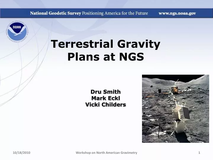
Terrestrial Gravity Plans at NGS Dru Smith Mark Eckl Vicki Childers. Airborne Survey Control. Currently with FG-5 near tarmac Relative meters to connect to tarmac A-10 soon About 2-3 / year. Geoid Change Validation.

E N D
Terrestrial Gravity Plans at NGS Dru Smith Mark Eckl Vicki Childers Workshop on North American Gravimetry
Airborne Survey Control • Currently with FG-5 near tarmac • Relative meters to connect to tarmac • A-10 soon • About 2-3 / year Workshop on North American Gravimetry
Geoid Change Validation • Original GRAV-D plan called for modeling geoid change through gravity change, mostly via absolute gravimetry • More recent plan is to use absolute gravity to validate geophysically-driven gravity/geoid change models • Requires local hydrological modeling Workshop on North American Gravimetry
TMGO Experimentation • Table Mountain Geophysical Observatory • NGS will conduct its own research at TMGO • Hydrologic, Gravimetric, Etc • An open invitation exists for any researchers to temporarily house gravity and other geophysical experiments at TMGO Workshop on North American Gravimetry
= Existing Superconducting Gravimeter = Existing Digital Bucket Rain Gage = Existing TMGO CORS = Existing loaned TRIMBLE antenna on pillar = Existing 2 monitor wells (defunct) = New Met Sensor (proposed location) = New CORS (proposed location) = New Soil Moisture Probe (proposed location) 30 m radius (limit of wires that came with probes) 100 meters
TMGO Meter-checks • NGS welcomes brief visits by those whose FG-5’s or A-10’s have recently been at Micro-G for service • Provides a safe, nearby environment for checking meter after servicing, prior to shipping home Workshop on North American Gravimetry
Absolute Gravimeter Comparisons • Periodic comparisons (4 years?) • N.Amer. in 2010. More open next time. • Critical now that BIPM is no longer hosting them • Reports to IAG, and consolidated metadata website • Contribution to the A.G. Database at BKG Workshop on North American Gravimetry
New Instruments • A-10 • Delivery early 2011 • Under consideration (out years) • gPhone • Portable temporary gravity studies • CG-5 • Augment aging L/R spring meters Workshop on North American Gravimetry
Field Research • Geoid Slope Validation Survey (Fall 2011) • 375 km / 270 geodetic control marks • GPS, Leveling, gravity, DoVs • FG-5 at endpoints and midpoint • A-10 on each 7th pt • Relative gravity between Workshop on North American Gravimetry
Standards and Specifications Standards of Accuracy Working Group Definition: A statistical assessment of the final calculated value of set(s) of measurements into categories that represent the known accuracy of control relative to an accepted reference (e.g., 1st order, 1st class = 20 µGals (@ 2σ level) with < 20µGal change over 5 years) Purpose: To report to potential users the accuracy or quality categories of measurements and computations that were made to compute the published value of survey control. By knowing the quality of the published value, a user is enabled to ascertain the usefulness of the control for their purpose. Workshop on North American Gravimetry
Standards (FGCC 1984) Workshop on North American Gravimetry
Standards and Specifications Specifications of Measurement Systems Working Group Definition: Those elements of a survey that are considered essential for the survey to meet the standards of accuracy for a particular order/class. Purpose: To identify and minimize errors propagated through the individual components of a measurement system and appropriately constraining the error budget to ensure that the reported final standard of accuracy is statistically valid. Workshop on North American Gravimetry
Specifications (FGCC 1984) Workshop on North American Gravimetry
AG Database(s) • Collecting/Organizing our historic data • Plan to contribute to BKG’s DB • Also working on synchronizing A.G. collection with “OPUS-DB” Workshop on North American Gravimetry