Download
1 / 12
120 likes | 267 Vues
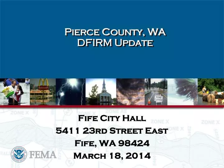
Pierce County, WA DFIRM Update . Fife City Hall 5411 23rd Street East Fife, WA 98424 March 18, 2014. Pierce County DFIRM Timeline. Scoping Meetings 2001 to 2004 Preliminary maps issued – September 28, 2007 Hold Final CCO meeting – Oct/Nov 2007

E N D
Pierce County, WA DFIRM Update Fife City Hall 5411 23rd Street East Fife, WA 98424 March 18, 2014
Pierce County DFIRM Timeline • Scoping Meetings 2001 to 2004 • Preliminary maps issued – September 28, 2007 • Hold Final CCO meeting – Oct/Nov 2007 • 90 day appeal period begins after 2nd public notice in local newspaper – December 19, 2007 • 90-day appeal period ends – March 19, 2008 • Revised Preliminary maps issued – November 13, 2009 • Correction Notice Issue – March 2010 • Correction Notice Issue Resolved – April 2012 • FEMA Letter to Senators on Levee Policy– March 2011
Levee Policy Process • The Pierce County Flood Insurance Study is still on hold as it waits for FEMA to finalize a new approach in showing floodplains on the landward side of levees that are not accredited to protect against the 1% flood. The process that FEMA is following for rolling out the new approach is as follows: • FEMA is introducing the new levee policy approach with a small number of pilot projects to understand the approach’s impacts, benefits, allowing the agency to consideration its broader implementation. The Agency has always noted that it would roll-out the new levee policy approach in about 10% of the current on-hold studies, where communities were interested in moving forward with the new levee policy solution. • FEMA has been working since March 2011 to develop guidance for the new levee policy implementation on a national scale. The Agency will engage with the pilot project communities to: • document the trial applications of the new levee policy, • refine the standards and guidance for implementation, and • prepare educational and training materials for future communities that will be engaged in the new levee policy. • Implement the new levee policy on a larger scale across the nation. The Agency is aware that the new levee policy approach requires more interaction between FEMA and the local communities and is committed to understanding the local knowledge and operation of a levee system prior to its determination of the appropriate new levee policy procedure(-s) • Pierce County was not chosen as one of the pilot studies. For more detail on the process, see: • http://www.fema.gov/final-levee-analysis-and-mapping-approach • It is for these reasons that we do not have a timeframe for moving forward at this time but we will be sure to communicate this to all of the affected communities when this becomes known.
Seclusion Mapping Process This Process Allows: • Historic investments of updated flood hazard analyses are able to be released on updated mapping • Community officials, residents, and business owners are provided with more up to date flood hazard risk information • On-hold projects (due to non-accredited levee) to move forward • The Region reviews projects to determine applicability, works with community to verify they understand approach prior to its application
Seclusion Mapping Process ATTENTION: The levee, dike, or other structure inside this boundary does not comply with Section 65.10 of the NFIP Regulations. As such, this FIRM panel will be revised at a later date to update the flood hazard information associated with this structure. The flood hazard data shown inside this boundary (which have been re-published from the May 5, 2004 FIRM for the City of Floodville), should continue to be used until this FIRM panel is revised to update the flood hazard information in this area. Study Findings Depicted Current Effective FIRM Depicted Seclusion Boundary
Seclusion Mapping Process • Inside the Levee Seclusion Area – Flood hazards related to the levee system(s) will be defined as depicted on the current effective FIRM. • Outside the Levee Seclusion Area – Flood hazards may be modified and updated by the current revision and study efforts. A countywide database will be provided at preliminary and effective issuance for communities to review the flood hazards in their vicinity. Community officials should consult their current effective FIRM to determine the areas that have been modified.
Estimated Timeline • Revised Preliminary……...........April 2014 • Consultation and Coordination Meeting........................May 2014 • Public Meeting…………………..?? • Start of Appeal Period ………...July 2014 • Letter of Final Determination...February 2015 • Effective Date..………………....August 2015
Questions & Comments FEMA: Flood Study Engineer: Ted Perkins (425) 487-4684 NFIP Insurance Specialist: Deb Farmer (425) 487-2023 Floodplain Management Spec.: Mike Riedy (425) 487-4654 Risk Analyst/GIS Specialist: Kelly Stone (425) 487-4636 Mitigation Planner: Kristen Meyers (425) 487-4543 WA DOE: Flood Study Coordinator Jerry Franklin (360) 407-7470 NFIP Coordinator Donovan Gray (360) 407-7253 STARR PM: Mark Seidelmann (614) 844-4015 Region X Service Center: Josha Crowley (425) 329-3679http://www.starr-team.com/ Flood Insurance Information: www.floodsmart.gov