Download
1 / 34
340 likes | 510 Vues
Clark County Regional Ozone and Precursor Study (CCROPS). Robert A. Baxter, CCM T&B Systems. Clark County Air Quality Forum – 03/14/06. Overview. Objectives of the Study Design of the Measurement Program Summary of Enhanced Field Measurements Database Description Analyses Performed

E N D
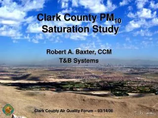
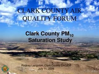
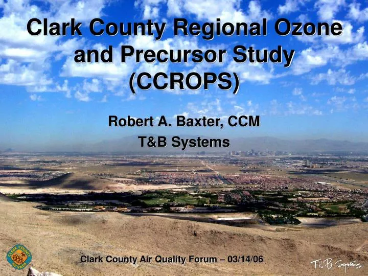
Clark County Regional Ozone and Precursor Study (CCROPS) Robert A. Baxter, CCM T&B Systems Clark County Air Quality Forum – 03/14/06
Overview • Objectives of the Study • Design of the Measurement Program • Summary of Enhanced Field Measurements • Database Description • Analyses Performed • Overall Results and Recommendations
Objectives • Obtain a data set to help understand the origin of ozone and precursors • Assess the adequacy of the Clark County monitoring network to measure peak ozone • Obtain a data set of known quality for model validation • Generate a database for current and future SIP development • Provide recommendations for future research to support modeling of ozone
DRI (south) DRI (north) T&B Systems UNLV UCR Clark County • Glider O3 • NOy • Nitric • Acid • PAN • NO2 • Field coordination • Ozone forecasting • Data management • Quality assurance • Measurements • 10 supplemental O3 • 13 saturation O3 • Rawinsonde • Ozonesonde • Glider O3 • Aircraft O3 • Ozone forecasting • Enhanced NOx • Overall support • Upper air winds • Sodar • Radar Wind Profiler • Doppler reanalysis • Rawinsonde and Pibal • (NOAA) • Boundary ozone • VOCs Measurement Program Design Clark County Project Sponsor T&B Systems Program Management
Field Measurement Enhancements Sodar and Radar Wind Profiler
CCROPS Database Goal was to produce a validated and documented database in a standard format that was detailed, flexible and easy to use • Relational database in MS Access • Contains both enhanced and DAQEM data • Predefined information in tables • Data quality flags for all reported variables • Metadata files containing key operational and data quality information and Measurement Quality Objectives (MQOs) • Accuracy, precision, lower quantifilable limit, resolution, completeness • Site pictures and location information • Data processing procedures • Data limitations
Data Analyses • How well does the existing DAQEM monitoring network measure the maximum ozone exposure in Clark County? • How well does the existing DAQEM monitoring station at Jean represent ozone background levels in Southern Nevada and the Las Vegas Valley? • What are ozone levels aloft; and is day-to-day carryover an important feature? • Is the three-dimensional wind field in the Las Vegas Valley uniform or dominated by local terrain features? • How representative is the NOAA sounding at Desert Rock of the boundary layer in the Las Vegas Valley? • How well does the CART ozone forecast model perform in an operational mode? • Can we distinguish the relative contributions from transport and local emissions to the total ozone burden in Clark County?
Data Analyses • How well does the existing DAQEM monitoring network measure the maximum ozone exposure in Clark County? • How well does the existing DAQEM monitoring station at Jean represent ozone background levels in Southern Nevada and the Las Vegas Valley? • What are ozone levels aloft; and is day-to-day carryover an important feature? • Is the three-dimensional wind field in the Las Vegas Valley uniform or dominated by local terrain features? • How representative is the NOAA sounding at Desert Rock of the boundary layer in the Las Vegas Valley? • How well does the CART ozone forecast model perform in an operational mode? • Can we distinguish the relative contributions from transport and local emissions to the total ozone burden in Clark County?
Ozone Transport into Clark CountyJuly 2 06:41 PDT
Ozone Transport into Clark CountyJuly 2 07:32 PDT
Ozone Transport into Clark CountyJuly 2 10:14 PDT
Ozone Transport into Clark CountyJuly 2 10:40 PDT
Ozone Transport into Clark CountyBack Trajectory July 2 1500 PDT
Results and RecommendationsNetwork Changes • City Center Ozone site adversely impacted by local emissions and should be discontinued • Permanent sites for Paiute and Indian Springs areas should be established • Short term summer study for Sunset Park region recommended to learn more about the saturation site findings
Results and RecommendationsAdditional Considerations • Additional monitoring in the foothills • Short term summer monitoring for Craig Ranch region • Monitoring at one of the two CCROPS ridge top sites to aid in understanding of nighttime ozone aloft and daily forecasting
Results and RecommendationsRecommended Analyses • Select candidate modeling periods and perform detailed descriptive analyses – local vs. transport • Further analyze critical features driving the exceedances • Examine hourly timing of ozone peaks within the extended network, characterize with respect to the “conceptual model” • Quantify the Las Vegas urban area contribution
Results and RecommendationsRecommended Analyses (cont.) • Integrate the VOC and nitrogen species data into the analyses to determine the extent of reaction and major source contribution • Examine downwind impacts to the northeast • Examine in more detail the interbasin transport routes using data from the California networks • Investigate in detail the wildfire impacts and extent of the smoke plume using PM and ozone network data • Update and refine the existing CART model and forecasting protocol
Questions? Please contact: Department of Air Quality and Environmental Management (DAQEM) (702) 455-5942