Download
1 / 27
300 likes | 647 Vues
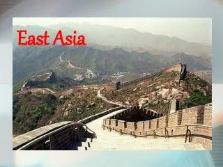
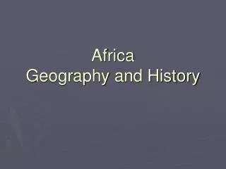
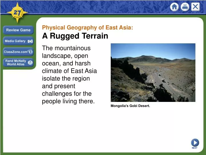
Physical Geography of East Asia: A Rugged Terrain . The mountainous landscape, open ocean, and harsh climate of East Asia isolate the region and present challenges for the people living there. . Mongolia’s Gobi Desert. . NEXT. Physical Geography of East Asia: A Rugged Terrain .

E N D
Physical Geography of East Asia: A Rugged Terrain The mountainous landscape, open ocean, and harsh climate of East Asia isolate the region and present challenges for the people living there. Mongolia’s Gobi Desert. NEXT
Physical Geography of East Asia: A Rugged Terrain Landforms and Resources SECTION 1 SECTION 2 Climate and Vegetation Human-Environment Interaction SECTION 3 Unit Atlas: Physical Unit Atlas: Political NEXT
Section 1 Landforms and Resources • East Asia has a huge mainland area that includes rugged terrain. • East Asia has a number of important islands off its eastern coast. NEXT
SECTION Landforms and Resources 1 Landforms: Mountains and Plateaus A Survey of the Region • East Asia stretches from western China to the east coast of Japan - also includes Mongolia, Taiwan, North Korea, South Korea • Landscape has high mountains, deserts, cold climate, Pacific waters • Rugged terrain created by tectonic plates colliding - natural barriers limit human movement, increase isolation Continued . . . NEXT
SECTION 1 continuedLandforms: Mountains and Plateaus Mountain Ranges of the Region • High mountains limited China’s contact with rest of Asia - world’s highest mountains located on western edge of region •Kunlun Mountains are located in west China - source of Huang He (Yellow) and Chang Jiang (Yangtze) rivers •Qinling Shandi Mountains divide northern China from the south Map Continued . . . NEXT
SECTION 1 continuedLandforms: Mountains and Plateaus Plateaus and Plains • Mountainous area includes some sparsely populated basins, deserts - includes Plateau of Tibet (Xizang Plateau) - western China’s Tarim Pendi Basin and Taklimakan Desert •Gobi Desert stretches from northwest China into Mongolia - covers 500,000 square miles •Mongolian Plateau is in northeastern China •Northern China includes Manchurian Plain, North China Plain NEXT
SECTION 1 Peninsulas and Islands The Coast of China • Eastern coast of China has several peninsulas - Shandong, Leizhou, and Macao Peninsulas - Portugal owned Macao; returned it to Chinese control in 1999 • China’s long coastline has several major port cities like Shanghai • Korean Peninsula is on eastern border of China - contains independent nations of North Korea and South Korea Continued . . . NEXT
SECTION 1 continuedPeninsulas and Islands The Islands of East Asia • East of China is continental shelf—the submerged border of continent •Isolation of shelf islands allows them to develop in peace, security •Chinese islands include Hainan and part of Hong Kong - Hong Kong was Britain’s; returned to China’s control in 1997 •Japan is a small island nation with large economic power •Taiwan once belonged to mainland China, which still claims it today Chart NEXT
SECTION 1 River Systems The Huang He •Huang He (Yellow River)—northern China river - starts in Kunlun Mountains in west, winds east for 3,000 miles - empties into Yellow Sea, named for yellow silt the river carries The Chang Jiang •Chang Jiang (Yangtze River)—longest river in Asia - flows 3,900 miles from Xizang (Tibet) to East China Sea - major trade route; floods often causing great damage Image Continued . . . NEXT
SECTION 1 continuedRiver Systems The Xi Jiang • Xi Jiang (West River) flows southeast through south China - joins Pearl River (Zhu Jiang) to flow into South China Sea - Xi Jiang, three other rivers form estuary between Hong Kong, Macao Other Rivers of the Region • Yalu Jiang river flows 500 miles along North Korea, China border - Chinese troops cross it in 1950 - attack UN forces, enter Korean War NEXT
SECTION 1 Resources of East Asia Uneven Distribution •China, Mongolia, North Korea have natural, mineral resources • Japan, South Korea, Taiwan have limited natural resources Interactive Land and Forests •Limited farmland in sparsely populated, mountainous, western areas • Most Chinese are in fertile eastern river basins where rice is grown • Abundant forests in China, Japan, Taiwan, North and South Korea - Japan reserves forests by buying timber from other regions Continued . . . NEXT
SECTION 1 continuedResources of East Asia Mineral and Energy Resources • China has large petroleum, coal, natural gas reserves - energy resources make China self-sufficient • China’s mineral resources include iron ore, tungsten, manganese - also molybdenum, magnesite, lead, zinc, copper • North and South Korea have coal, tungsten, gold, silver reserves • Japan has lead, silver, coal, but must trade for most resources Continued . . . NEXT
SECTION 1 continuedResources of East Asia Water Resources • China’s long river systems are important to its economy - provide crop irrigation, hydroelectric power, transportation - Three Gorges Dam on Chang Jiang will control floods, create power - Huang He and Xi Jiang provide hydroelectric power, transportation • Sea is important food source for East Asia - Japan has one of world’s largest fishing industries NEXT
Section 2 Climate and Vegetation • East Asia has a dry highland climate in the west. • The region has a humid climate in the east. NEXT
SECTION Climate and Vegetation 2 High Latitude Climate Zones Subarctic • Small subarctic zones on Mongolia’s and China’s Russian borders • Summers are cool or cold; winters are brutally cold; climate is dry • Vegetation is northern evergreen forest, mosses, lichens Highland • Western China’s highland zone temps vary with latitude, elevation • Vegetation also varies; forests, alpine tundra are typical • Tundras have no trees, frozen soil a few feet below surface - only mosses, lichens, shrubs grow on tundras Image NEXT
SECTION 2 Mid-Latitude Zones Humid Continental • Climate zone includes northeastern China, northern Japan - also North Korea, northern South Korea • Forests are coniferous; temperate grasslands provide grazing - agriculture has replaced many forests Humid Subtropical • Southeastern China, southern South Korea, south Japan, north Taiwan • Deciduous forests in north, coniferous in southern, sandy soil NEXT
SECTION 2 Dry Zones Semiarid • Includes parts of Mongolian Plateau • Vegetation is mostly short grasses, food for grazing animals Desert • Most of region’s deserts are in west central mainland • Taklimakan Desert—in west China, between Tian Shan, Kunlun mountains • Gobi Desert—in north China, southeast Mongolia - prime area for dinosaur fossils Image NEXT
SECTION 2 Tropical Zones Tropical Wet • Typhoon—tropical storm that occurs in western Pacific • Tropical climate zone in East Asia is small - strip of land along China’s southeastern coast - island of Hainan, southern tip of Taiwan • High temperatures, heavy rainfall, high humidity all year • Tropical rain forest has tall, dense forests of broadleaf trees NEXT
Section 3 Human-Environment Interaction • The Chinese are building the Three Gorges Dam to control flooding. • The Japanese have developed creative ways to use their limited amounts of land. NEXT
SECTION Human-Environment Interaction 3 The Three Gorges Dam An Engineering Feat • In 1993, China began construction ofthe Three Gorges Dam - being built on China’s Chang Jiang river - should reduce flooding, generate power • China’s largest construction project will be world’s biggest dam - will be 600 feet high, spanning a mile-wide valley - will create 400-mile-long reservoir, covering 1,000 towns Image Continued . . . NEXT
SECTION 3 continuedThe Three Gorges Dam Positive Effects • Government believes dam will control Chang Jiang flooding - river irrigates half of China’s crops, drains one-fifth of land • Giant turbines should generate 10% of China’s electrical power • Will make it easier for ships to reach China’s interior through locks - river carries more than half the goods moved on China’s waterways - dam, locks will increase shipping capacity, decrease costs Continued . . . NEXT
SECTION 3 continuedThe Three Gorges Dam Negative Effects • Most observers feel dam will also have negative effects - negative environmental impact may outweigh any benefits • One to two million people will have to move - hundreds of historical sites, scenic spots will be submerged • Dam could cost $75 billion rather than original $11 billion estimate - costs scare away many potential investors Continued . . . NEXT
SECTION 3 continuedThe Three Gorges Dam Negative Effects • In building dam, government has not protected the environment • New reservoir will flood land, reduce animal habitats - submerged factories could leak chemicals into water - region’s climate, temperature will be affected - some species (alligator, river dolphin, others) may vanish • International groups slow to invest due to environmental concerns NEXT
SECTION 3 Use of Space in Urban Japan Crowded Living and Working Spaces • 60% of 127 million people live on 3% of land along coastal plains - 80% live in largest cities: Tokyo, Yokohama, Osaka, Nagoya, Sapporo - 25 million in Tokyo, one of world’s largest cities • Cities poisoned with mercury, PCBs—factory pollutants—in 1950s, ’60s - PCBs build up in animal tissue; cause disease, birth defects - PCBs banned in 1977 Continued . . . NEXT
SECTION 3 continuedUse of Space in Urban Japan Adapting to Limited Space • Houses are small, sparsely furnished • Many in cities live in apartments - family of four in a one-bedroom apartment is common • Some move to suburbs, but must commute several hours to work • Coastal cities reclaim landwith landfill -landfill is solid waste buried in layers of dirt - Tokyo puts factories, refineries on landfill NEXT
This is the end of the chapter presentation of lecture notes. Click the HOME or EXIT button. NEXT
Print Slide Show • 1. On the File menu, select Print • 2. In the pop-up menu, select Microsoft PowerPointIf the dialog box does not include this pop-up, continue to step 4 • 3. In the Print what box, choose the presentation format you want to print: slides, notes, handouts, or outline • 4. Click the Print button to print the PowerPoint presentation • Print Text Version • 1. Click the Print Text button below; a text file will open in Adobe Acrobat • 2. On the File menu, select Print • 3. Click the Print button to print the entire document, or select the pages you want to print Print Text Print Text CONTINUE