Download
1 / 35
350 likes | 468 Vues
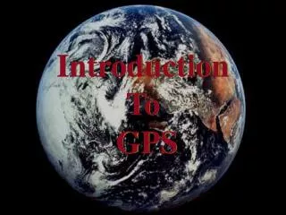
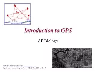
Introduction to GPS. Using the Garmin eTrex Legend. Distance from Earth ½x Earth’s Circumference 12,000 Miles 2 Orbits in 24 Hours Travel 7,000 Miles/Hour Powered by Solar Energy. GPS Satellites. Satellite Rotation. Signal Transmission. Garmin’s eTrex Legend. Zoom In/Out Buttons.

E N D
Introduction to GPS Using the Garmin eTrex Legend
Distance from Earth ½x Earth’s Circumference 12,000 Miles 2 Orbits in 24 Hours Travel 7,000 Miles/Hour Powered by Solar Energy GPS Satellites
Zoom In/Out Buttons Find Button
Page Button Click Stick On/Off Button
Page Button • Press the Page Button several times. You will see the display cycle through the main pages that look like this Satellite Page Map Page Navigation Page Trip Computer Main Menu At any time you can press the Page Button and return to one of the Main Pages
AMBERLY WAYPOINTS
NORTH WEST
Main Page Menu Button Options Menu Button Title Bar
Satellite Page • The bottom of the Satellite Page also shows your GPS location and elevation (After you have 4 bars) • -The N or S line shows Latitude • -The E or W line shows Longitude
Time Time Zones Time Format Units Position Format (Coordinate System) Misc. Unit Formatting Display Contrast & Backlighting System WAAS Enabling Language Memory Usage Setup Features
Main Menu Accessories Area Calculation Select “Start” and Walk Area Perimeter Select “Stop” After Walking Area Perimeter Resetting Area Calculation Options Menu Button Reset Use Click Stick to Change Area Calculation Measures Acres Feet Miles Etc. Area Calculation
Main Menu Mark Icon Change Symbol Select with Click Stick Find Desired Symbol Name Location Select with Click Stick Use Drop-Down Alphabet Menu Click OK Change Location Select with Click Stick Use Drop-Down Number Menu Click OK Select Desired Option OK – Save GoTo – Navigate Map – Maps Location Marking a Location
Main Menu Find Waypoints OR Find Button Waypoints Finding a Waypoint
GPS Uses Wildlife Mapping Environmental Education Earth Science
GPS Uses Tree & Plant Identification Science & Technology ATV Safety
GPS Uses High Adventure Fishing & Canoeing Science & Technology
GPS Uses Trip Planning Recreation Search & Rescue
GPS Uses Agriculture Shooting Sports & Education Citizenship & Community Service and many more!!!
Scavenger Hunt Zip Code Adventure Educational Recreation Families and Friends Exciting and Fun! GeoCaching www.geocaching.com