Download
1 / 24
240 likes | 352 Vues
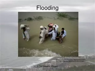
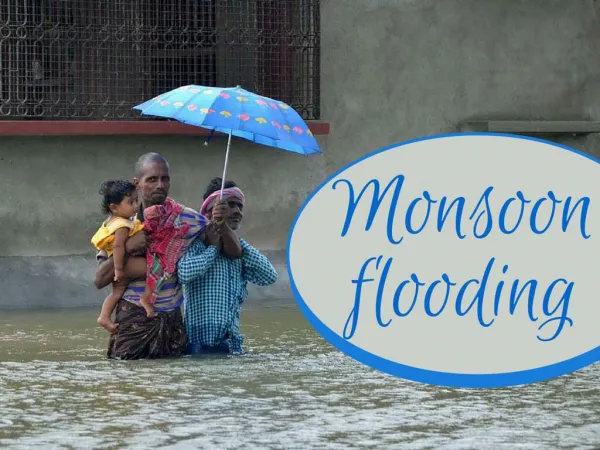
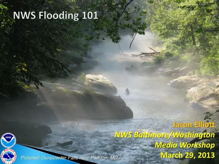
NWS Flooding 101. Jason Elliott NWS Baltimore/Washington Media Workshop March 29, 2013. Pictured: Gunpowder Falls near Parkton, MD. 2012 – Year in Review. It was a quiet year… Drought over much of the country No real spring flood …until Sandy…

E N D
NWS Flooding 101 Jason Elliott NWS Baltimore/WashingtonMedia WorkshopMarch 29, 2013 Pictured: Gunpowder Falls near Parkton, MD
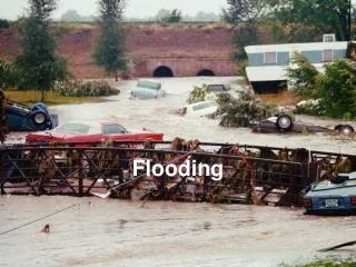
2012 – Year in Review • It was a quiet year… • Drought over much ofthe country • No real spring flood • …until Sandy… • Conditions have turnedwetter both locally andin other parts of the countrysince late October 2012
2012 Year in Review • 2012 had the fewest flood-related fatalities in 50 years! (28…only 3 east of the Mississippi) Data Source:NWS HydrologicInformationCenter Note: These datado not includesurge-relatedflooding, likeSandy or Katrina.
Year in Review • Flash Flood Event: • Baltimore County 8/26/12 L H
Year in Review • Flash Flood Event: • Berkeley Springs WV 9/1/12 Photo: WHAG-TV Viewer Submission
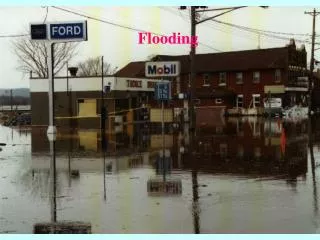
Year in Review • Flash Flood Event: • Frederick MD 9/18/12 Photo: Frederick News-Post
Year in Review – Goose Creek in “Sandy” • Major Flooding (worst since 1996) • US 15 – primary north/south route – flooded Photo: Loudoun Co. Sheriff
Year in Review – “Superstorm Sandy” • 29 stream gauges with established flood levels exceeded their flood stages in Sandy.
How did we know? • “River Assessment Group” formed in 2011 • Goal to determine floodrisk & levels at non-forecastlocations • Over 150 sites visited to date
Results • More sites with flood stages • Better anticipation of, and(especially) knowledge oflength of flood • Longer (but increasinglytargeted) flood warnings
Beaverdam Creek / Loudoun County, VA • Moderate Flooding • Stranded utility truck Photo: Leesburg Today
Monocacy River / Frederick, MD • Major Flooding • MD 26 flooded near river; Gambrill Mill (NPS) flooded. (at peak, water was up to seat of bench) Photo: NPS
Antietam Creek / Leitersburg, MD • “Minor” Flooding • Water surrounded a house and covered Leiters Mill Road enough to strand this car. • Flood stage here was revised downward.
Western Branch Patuxent / Upper Marlboro, MD • Minor flooding…but significant impact! • Many nearby tributaries that we do not yet have a handle on Photo: WTOP
River Flooding • Freshwater flooding is handled by polygon-based warnings, except for river forecast points • This will change! • The polygons will still belarger than the affected areabut more targeted • (example: the polygon won’tinclude Middleburg for a Potomac flood) • Just a first step… • Ultimately we would like to warn based on dynamic inundation areas – but we’re not there yet
Determining a range of possibilities • In the mid-Atlantic region, our flood forecasts are usually 90-100% predicated on rain which has not yet occurred. • This means both the forecast rainfall and the river forecast can change significantly before the event is ongoing. • We give you our “most likely” forecast, but what if you want to know a range of possibilities?
River Forecast Ensembles • http://www.erh.noaa.gov/mmefs • Ensembles offer ranges of possibilities based on different computer model changes • The officialforecast isnot depictedon this graph!
River Forecast Ensembles • Important Note: The ensembles utilize the GEFS, NAEFS, and SREF. (i.e., no ECMWF). So if we are favoring the Euro, so the official forecast could be outside the range of any of the ensembles. • Training on use of the ensembles is available:http://www.erh.noaa.gov/mmefs/RecordedTraining/ • Once the rain is falling, you should use the official forecast instead of an ensemble range.
Flash Flooding • We utilize the Flash Flood Monitoring & Prediction System (FFMP) to monitor estimated precipitation vs. Flash Flood Guidance.
Flash Flooding • Zooming in on a county helps us to knowwhich basins / parts of counties are affectedand which will not be.
Notes about dual-pol precip • DP precip estimates are badoutside the bright band in the winter. • Consistently too high
Notes about dual-pol precip • On the plus side, the DP precip products are higher-resolution so the beam blockages are not as pronounced…
Questions? • Jason ElliottSenior Service Hydrologistjason.elliott@noaa.gov