Download
1 / 25
260 likes | 391 Vues
Alternative Check Dams for Polyacrylamide Dosing. Melanie M. McCaleb, CPESC North Carolina State University, Soil Science Department melanie_mccaleb@ncsu.edu 919-513-1419 Richard A. McLaughlin, Ph.D. North Carolina State University, Soil Science Department richard_mclaughlin@ncsu.edu

E N D
Alternative Check Dams for Polyacrylamide Dosing Melanie M. McCaleb, CPESC North Carolina State University, Soil Science Department melanie_mccaleb@ncsu.edu 919-513-1419 Richard A. McLaughlin, Ph.D. North Carolina State University, Soil Science Department richard_mclaughlin@ncsu.edu 919-515-7306
Sediment is the #1 pollutant in NC waterways!
Effects of Baffles: Velocity inlet outlet
Check dams should help prevent erosion and scour and promote grass growth!
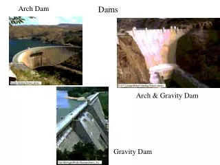
Rock w/ coir Rock Coir logs Rock w/ Excelsior Excelsior wattles
4 minutes at each 0.5, 1.0, 2.0, 1.0, and 0.5 cfssoil added at 6,000 mg/L4 samples were collected in each bottle- 5 bottles total3 consecutive runssediment depth and length was measuredLIDAR scan was taken soil
Ideal BMP Spacing • BMPs theoretically spaced such that flow goes from pool to pool… This slows water velocity down and gives more time for water to infiltrate into the ground and causes sediment to fall out of suspension!
Ground-based LIDAR • LIDAR – LIght Detection And Ranging • Uses reflected laser pulse todetermine 2-way travel time • (X,Y,Z) coordinates from the scanner head • Records 50,000 points/second • 360 degree field of view
Methodology • Take LIDAR scans before and after test • Interpolate points to 3-D surfaces • Calculate the difference in the 2 surfaces • Reveals total volume and spatial distribution of sediment captured within the basin Final Scan (top layer) First Scan (bottom layer) 3-D View of Before and After Surface
3D Channel Rock Check Dam Flow Direction
Coir3 Sediment Depth Coir Location • Sediment In Front of First Coir Check Dam
Introduction of PAM • Rock with PAM • Rock with Excelsior wrap with PAM • Excelsior wattle with PAM
Sprinkle 60 grams of APS 705 PAM over the check dam where the water is going to flow over.