Download
1 / 71
710 likes | 808 Vues
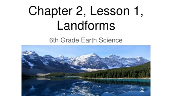
Landforms in Iceland 1. First a little statistics. Geographical position: North 66°32´29´´ N South 63°23´31´´ N East 13°30´06´´ W West 24°32´12´´ W. Geographical Data: Whole Island: 103100 km² with fishing area: 758000 km² Main Island: 102700 km². Terrain without vegetation. 62 %.

E N D
Geographical position:North66°32´29´´ NSouth63°23´31´´ NEast13°30´06´´ WWest24°32´12´´ W
Geographical Data: Whole Island: 103100 km² with fishing area: 758000 km² Main Island: 102700 km² Terrain without vegetation 62 % Cultivated 1.5 % Grass, moss, etc. 1.3 % Lakes 2.9 % Forest 1 % Glacier 12 % Lava fields 11 % Inhabitans: > 286000 (2.8 inhabitants per km²)
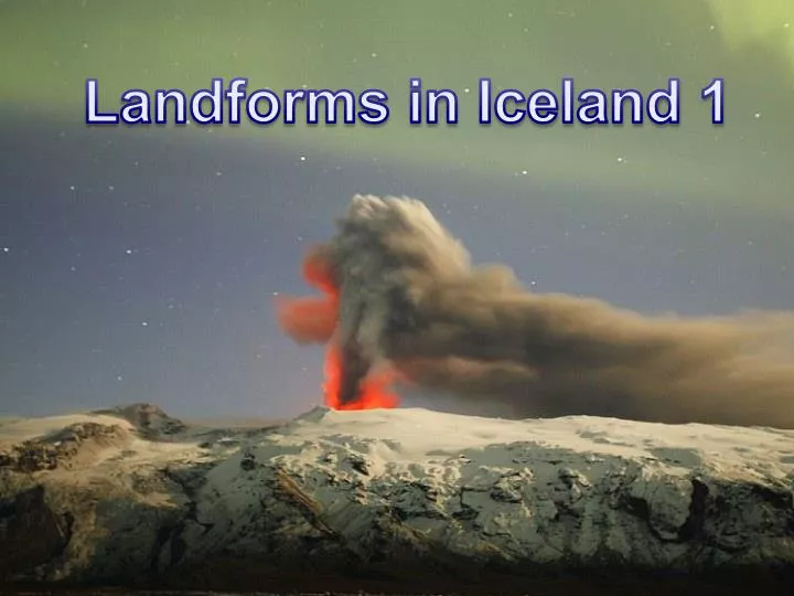
Hot plume; The ascending mantle column beneath Iceland melts in response to the pressure release
Historically active volcanoes, fissures related to rifting, geothermal systems, and basic and intermediate lavas and associated sediments less than 700,000 years old (pink). The younger volcanism and rifting are confined to the active volcanic zone (northern, western, eastern) and three off-ridge areas. High-temperature geothermal systems (>200ºC) like Svartsengi and Reykjanes are associated with the active volcanic zone. Orange and gray indicate progressively older igneous rocks and associated sediments. Low-temperature geothermal systems (<150ºC) are found on the flanks of the active volcanic zone in older rocks. The white areas are glaciers and ice caps.
The eruption at Eldgja in ~935 AD lasted 3-8 years and produced 19.6 cubic km of lava, making it the largest basaltic flood lava eruption in historic time. The fissure was about 30 km long. An estimated 219 Mt of SO2 was released to the atmosphere during the eruption.