Download
1 / 10
100 likes | 197 Vues
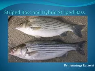
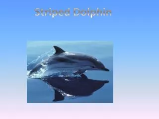
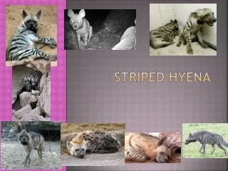
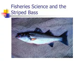
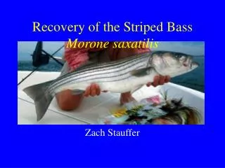
SPEARING STRIPED BASS CALIFORNIA 2013. Resources: CDFW (Ocean) section 28.90 Diving, Spearfishing (a) No person may possess or use a spear within 100 yards of the mouth of any stream in any ocean. CDFW (Freshwater) section 2.30 Spearfishing and section 5.75 Striped Bass

E N D
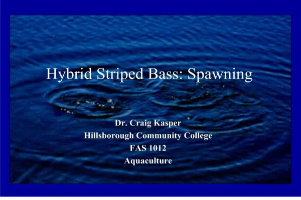
SPEARING STRIPED BASSCALIFORNIA 2013 Resources: CDFW (Ocean) section 28.90 Diving, Spearfishing (a) No person may possess or use a spear within 100 yards of the mouth of any stream in any ocean. CDFW (Freshwater) section 2.30 Spearfishing and section 5.75 Striped Bass http://www.dfg.ca.gov/regulations/FreshFish-Mar2013/ Inland Valley District map and definitionshttp://www.dfg.ca.gov/regulations/FreshFish-Mar2013/ccr-t14-sec6_31-6_37.html Fish and Game Code Section 1505 “Salmon Spawning Areas” http://www.leginfo.ca.gov/cgi-bin/displaycode?section=fgc&group=01001-02000&file=1500-1505Bios mapshttp://imaps.dfg.ca.gov/viewers/biospublic/app.asp click on the add layer button in the upper left hand corner of the map, it looks like a black plus sign with a yellow triangle in the background. Add layer titled, "protected salmon spawning area ds647" then click, “add checked layers to map.” It should redirect you back to the map and you can toggle that layer. I'd also toggle "highways" and "counties" for navigational purposes then click, “Refresh Map.” You can then zoom in and pan around to see the protected areas.
The Feather River between Oroville and the mouth of Honcut Creek The Yuba River between Englebright Dam and a point approximately four miles east of Marysville
The American River between Nimbus Dam anda point one mile downstream from Arden Way
The Cosumnes River from Meiss Road Bridge to Latrobe Road Bridge
The Stanislaus River between Goodwin Dam and RiverbankThe Tuolumne River between La Grange Dam and the Geer Road (j14) BridgeThe Merced River between Crocker Huffman Dam and Cressey
SPEARING STRIPED BASSCALIFORNIA 2013 Resources: CDFW (Ocean) section 28.90 Diving, Spearfishing (a) No person may possess or use a spear within 100 yards of the mouth of any stream in any ocean. CDFW (Freshwater) section 2.30 Spearfishing and section 5.75 Striped Bass http://www.dfg.ca.gov/regulations/FreshFish-Mar2013/ Inland Valley District map and definitionshttp://www.dfg.ca.gov/regulations/FreshFish-Mar2013/ccr-t14-sec6_31-6_37.html Fish and Game Code Section 1505 “Salmon Spawning Areas” http://www.leginfo.ca.gov/cgi-bin/displaycode?section=fgc&group=01001-02000&file=1500-1505Bios mapshttp://imaps.dfg.ca.gov/viewers/biospublic/app.asp click on the add layer button in the upper left hand corner of the map, it looks like a black plus sign with a yellow triangle in the background. Add layer titled, "protected salmon spawning area ds647" then click, “add checked layers to map.” It should redirect you back to the map and you can toggle that layer. I'd also toggle "highways" and "counties" for navigational purposes then click, “Refresh Map.” You can then zoom in and pan around to see the protected areas.