Download
1 / 19
220 likes | 496 Vues
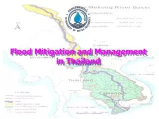
Flood Risk Modeling in Thailand … and more …. Alexander Lotsch Commodity Risk Management Group Agriculture and Rural Development The World Bank Group. Outline. Flood Risk Analysis Petchabun, upper Pasak River Modeling Approach Global Disaster and Weather Risk

E N D
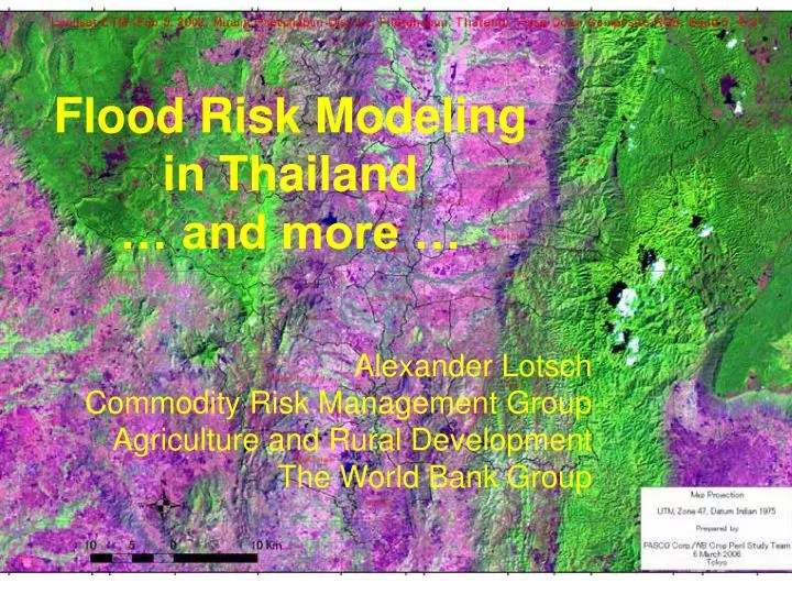
Flood Risk Modeling in Thailand … and more … Alexander Lotsch Commodity Risk Management Group Agriculture and Rural Development The World Bank Group
Outline • Flood Risk Analysis • Petchabun, upper Pasak River • Modeling Approach • Global Disaster and Weather Risk • Global patterns of weather hazards • Climate Change • Observed changes and trends
Objectives of Flood Analysis in Petchabun Area • Support design of an insurance scheme • Simulate historical patterns of floods • Define flood risk zones • Define critical rainfall thresholds for floods • Loss assessment with remote sensing • Assess agricultural losses
Flood Plain Modeling 2 Coupled Models 1) Rainfall-Runoff Model • Digital Elevation Model • Cell-based • Estimates Water Volume 2) Inundation / Flood Plain Model (2-D) • Flood Depth • Flood Duration • Drainage
Flood Modeling Output Multi-day Inundation • Depth • Duration • Extent Flash Floods are secondary Cross-Validation with satellite observations and geo-information analysis
What is Remote Sensing? • Earth Observation • Land, Oceans, Atmosphere • In the Air and in Space • Air-borne vs. Space-borne • Geostationary vs. Orbital • Sensor Technologies • Optical, Thermal, Infrared, Microwave, Radar etc. • Resolution (“kilometers” - ”meters” - ”centimeters”) • Active vs. Passive
Benefits of Remote Sensing • Spatially Continuous Data Acquisition • Routine Revisiting Capabilities • Regional Coverage • Digital Data Processing and Manipulation • Digital Data Integration (GIS etc.) • Cost-effective • Modeling
Flood Detection using Satellite Observations • Synthetic Aperture Radar, e.g. Radarsat • Penetrates clouds • Detects surface water
Flood detection, September 2002 Land Use Floods in Paddy Rice
Challenges • Digital Terrain Data • Hydro-meteorological and streamflow data • Validation • Computation and Model Choice • Flood Risk Zoning • Design of an Insurance Scheme
Outline • Flood Risk Analysis • Petchabun, upper Pasak River • Modeling Approach • Global Disaster and Weather Risk • Global patterns of weather hazards • Climate Change • Observed changes and trends
NH Drought & NDVI Patterns June-August 2002 June-August 2001 36-month SPI dry wet NDVI [Std. Dev.]