Download
1 / 14
140 likes | 285 Vues
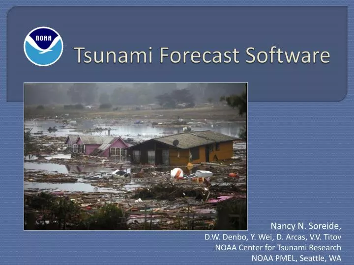
Tsunami Forecast Software. Nancy N. Soreide, D.W. Denbo, Y. Wei, D. Arcas , V.V. Titov NOAA Center for Tsunami Research NOAA PMEL, Seattle, WA. Chile tsunami event (Feb 27, 2010) YouTube video embedded in slide … or play from YouTube or local video file.

E N D
Tsunami Forecast Software Nancy N. Soreide, D.W. Denbo, Y. Wei, D. Arcas, V.V. Titov NOAA Center for Tsunami ResearchNOAA PMEL, Seattle, WA
Chile tsunami event (Feb 27, 2010) YouTube video embedded in slide … or play from YouTube or local video file NOAA Center for Tsunami Research
Overview of Tsunami Forecasting • Earthquake! • Data network • Model & data assimilation • Tsunami forecast guidance NOAA Center for Tsunami Research
5 4 3 2 1 0 -1 -2 -3 -4 5 6 7 8 9 10 The intensity of the earthquake alone does not predict the size of a tsunami … or even if a tsunami will occur. Tsunami Intensity Earthquake Magnitude Courtesy V.K. Gusiakov
Tsunami detection buoys • DART® tsunami buoys measure the size of a tsunami, in the open ocean, before it comes ashore
DART® Buoys are strategically located throughout the ocean • Real-time, high resolution buoy data is used to refine the forecast - while the tsunami is still propagating through the ocean. DART® Earthquake
NOAA Tsunami Forecast software * For selected coastal communities • Combines • Earthquake seismic information • Real-time tsunami buoy measurements in the deep ocean • Computer models to predict tsunami propagation and coastal flooding • Provides • Real-time tsunami propagation forecasts • Real-time coastal flooding forecasts* • Installed at the NOAA Tsunami Warning Centers in Alaska and Hawaii NOAA Center for Tsunami Research
Tsunami propagation is pre-computed for Unit Sources along global coastlines Unit earthquake source locations are co-located with earthquake locations NOAA Center for Tsunami Research
DART® data is assimilated into the model to refine the forecast NOAA Center for Tsunami Research
Real-time Coastal Flooding Forecastsfor selected coastal communities NOAA Center for Tsunami Research
Future forecast productAreas of flooding & Harbor currents NOAA Center for Tsunami Research
Maximum tsunami amplitude Chile tsunami February 27, 2010 http://nctr.pmel.noaa.gov NOAA Center for Tsunami Research Located at NOAA PMEL in Seattle, WA
BACKUP SLIDES NOAA Center for Tsunami Research
Chile tsunami event (Feb 27, 2010) Video & Media Player embedded in slide … or play from YouTube or local video file NOAA Center for Tsunami Research