Download
1 / 21
210 likes | 311 Vues
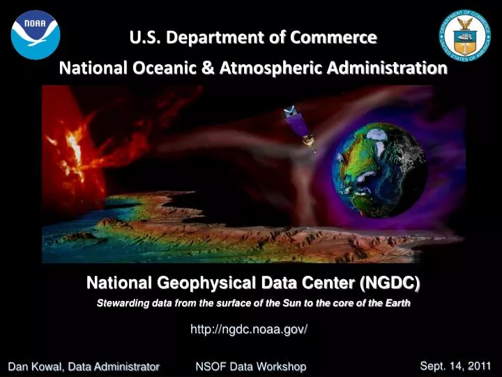
U.S. Department of Commerce National Oceanic & Atmospheric Administration National Geophysical Data Center (NGDC) Stewarding data from the surface of the Sun to the core of the Earth. http://ngdc.noaa.gov/. Sept. 14, 2011. NSOF Data Workshop. Dan Kowal, Data Administrator.

E N D
U.S. Department of CommerceNational Oceanic & Atmospheric AdministrationNational Geophysical Data Center (NGDC)Stewarding data from the surface of the Sun to the core of the Earth http://ngdc.noaa.gov/ Sept. 14, 2011 NSOF Data Workshop Dan Kowal, Data Administrator
NGDC provides stewardship, products and services for geophysical data describing the solid earth, marine, and solar-terrestrial environment, as well as earth observations from space. Data Holdings > 400 digital and analog collections NAO 212-15 and NSF-04 Designated archive for NSF Academic and NOAA Geophysical data. Long-Term Archive Archive We’re in it for the long haul, preserving data for your great-grandchildren Data Rescue & Digitizing Rescuing data from old and obsolete media and formats Data Access Using standards to make data freely & publicly available
Preservation Planning Descriptive Info. Data Management Descriptive Info. queries Access result sets Ingest orders SIP DIP AIP Archival Storage AIP Administration MANAGEMENT Archive vs archiveNGDC and the Open Archive Information System (ISO 14721:2003) P R O D U C E R C O N S U M E R OAIS (archive) SIP = Submission Information Package AIP = Archival Information Package DIP = Dissemination Information Package
Marine Geology & Geophysics NGDC’s MGG Division provides scientific stewardship for geophysical data supporting: • Coastal resiliency, hazard warning & mitigation • Ocean and coastal charting and mapping • Exploration of the U.S. outer continental shelf
Data & Information http://www.ngdc.noaa.gov/mgg/mggd.html DATA TYPES Bathymetry / LIDAR Digital Elevation Models DART & Tide Gauge Tsunami Events / Impacts Significant Earthquakes Volcanic Eruptions Ocean Drilling Seismic Reflection Sea Floor Composition Gravity & Magnetics World Magnetic Model APPLICATIONS Charting & Inundation Modeling Hazards Assessment & Economic Impact Global Change Research Fisheries / Habitats Ocean Mapping Defense Applications Cable & Pipeline Routing Minerals Exploration Navigation / Charting
Marine Modeling http://www.ngdc.noaa.gov/mgg/coastal/ MGG develops, archives, and provides access to global, regional, and community level bathymetric-topographic digital elevation models (DEMs) Products: 10-m coastal inundation DEMs, DART buoy deployment maps, Coastal Relief Models (30m-90m) for the U.S., ETOPO1, and Great Lakes bathymetry Users: Coastal modeling, habitat characterization, circulation, climate change, community planning, forecast & warning, response & recovery Tsunami inundation grid, 1/3 arc-second, Monterey Bay, CA Northern Gulf of Mexico CRM , 1 arc-second covering portions of Louisiana, Mississippi, Alabama, and Florida ETOPO1 – Global 1-km bathymetry and elevation
Hydrographic & Bathymetric Survey Data Partnerships in Action • NOS Hydrographic Office Conducts Surveys • Acquire multibeam sonar and related data • Ship sends data to NGDC • Safe, secure storage against loss • And to Hydrographic Processing Center • Processing and charting product development • NGDC Archives and Delivers Data and NOS-derived Products • Raw data archived immediately • Processed data and products archive when complete from Hydrographic Center • NOS determines what data and products are public according to NOAA Administrative Orders and Policy • Public data and documentation incorporated into Web Services • NOS Hydrographic Office Plans Surveys • Inventory of archived data helps identify gaps
Bathymetric Data Viewer • Displays location and information about all bathymetry in archive • Enables download of descriptions, products, and data • Web services can be ingested into any viewer
Functional Elements NGDC Space Weather Program
Ionospheric Data Services Data Acquisition and Field Work NGDC acquires, processes and distributes approximately 6,000 real-time ionosonde observations per day from over 50 instruments worldwide. Ionosonde data sent to SWPC are used primarily to serve the general public, both industry and private citizens. Data from SWPC's servers indicate that about 12,000 unique customers access 650,000 to 825,000 ionosonde observations per month. NGDC serves real-time ionospheric data through the Mirrion system. http://www.ngdc.noaa.gov/stp/IONO/ionohome.html Science On a Sphere Ionospheric Sounding
Satellite Data Services NOAA Operational Datasets • GOES Space Environment Monitor • Geosynchronous Orbit, since 1974 • Elements: In Situ Magnetic Fields Whole Sun X-ray Flux Energetic Particles • Data Online at: http://www.ngdc.noaa.gov/stp/satellite/goes/dataaccess.html • GOES Solar X-ray Imager – GOES 12-15 • Geosynchronous Orbit, since 2003 • X-ray Images taken every minute • All Data Are Online (once operational) • http://sxi.ngdc.noaa.gov/ • POES/MetOp Energetic Particle Detector • Polar Low Earth Orbit • Energetic Particles Archived Since 1979 • Data Online at: http://www.ngdc.noaa.gov/stp/satellite/poes/index.html
Wendelstein Observatory* (1947-1987) Boulder Composite Drawings* (1972-present) Fraunhoffer Institute (1956 - 1973) Northwestern Observatory* (1958 -1970) Drawings from the IGY (1957 - 1958) Solar Data Services Safeguarding Historical Datasets Archives include a variety of solar synoptic drawings, sunspot images and photographs derived from mostly ground obser-vatories. Digitization done through the Climate Database Moderization Program. *Recently added to the archives (2009-2010)
Indices Data Services Geomagnetic Indices and Sunspot • NGDC acquires and archives a variety of solar and geomagnetic indices which are made available in tabular format or as time-series data. Archived indices include: • Daily/monthly/yearly sunspot numbers • Solar radio flux, F10.7, USAF data • Geomagnetic Kp, Ap, Dst, AA, AA* • AMIE derived indices (SWx Climatology) • Cosmic ray datasets
Operational SWx Datasets USAF SWx Datasets – Satellite & Ground • Solar Electro-Optical Network (SEON) • Solar Optical Observing Network (SOON) – daily sunspot drawings from 4+ SEON sites • Radio Solar Telescope Network (RSTN) – Solar radio noise backgrounds at selected frequencies (245 MHz – 15.4 GHz) • Defense Meteorological Satellite Program (DMSP) • Operational Linescan System auroral imagery • Space Weather Sensors – SSJ / SSIES / SSM • SSUSI / SSULI tbd • MIRRION Ionosonde Data System • Digital Ionospheric Sounding System (DISS) • Vertical Incidence Pulsed Ionospheric Radar (VIPIR) • International ionosonde datasets
National Geodetic Survey (NGS) Continuously Operating Reference Stations (CORS) • Background • CORS helps define the National Spatial Reference System. Provides the foundation for positioning in the nation. • In 2003, Parallel CORS facility and archive established at NGDC. • NGDC is the designated archive for NGS GPS data according to NOS Records Disposition Schedule 1602-12. • Migrating to CLASS IT Systems in 2011. • Data Types • RINEX format data • Binary Raw data • Station metadata Uses and the Future. -The positions from CORS data are used as input for essential NOAA activities such as monitoring water vapor in the atmosphere and total electron content in the ionosphere. - Future Global Navigation Satellite Systems (GNSS) satellite systems data such as Russia’s GLONASS and China’s COMPASS will be incorporated into CORS.
NGDC Archive Status FY11 3rd QTR Highlights: Top Three: NOS - 156.1 TB DMSP - 104.7 TB CORS - 89.9 TB 17
CLASS-NGDC Archive Total CLASS -NGDC Archive Volume FY10 Q4 = 515 TB FY11 Q1 = 590 TB FY11 Q2 = 676 TB FY11 Q3 = 705 TB NPP ingest volume will be 4-5 TB/day at each node 18
Metadata • Data Centers transitioning from FGDC to ISO 19115/19115-2 • Can Support Multiple Views of Metadata and Quality Reports
NGDC is 1 of 3 NOAA National Data Centers We are responsible for the long-term stewardship of data from the surface of the Sun to the core of the Earth (except the wet ocean & weather layer) NGDC delivers over 100 Tb per year (use and re-use) to a diverse set of customers. NOAA Hydrographic data is one of the fastest growing data streams stewarded by NGDC Summary