Download
1 / 39
400 likes | 653 Vues
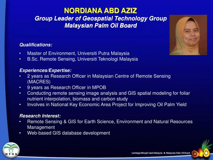
Nordiana Abd Aziz Group Leader of Geospatial Technology Group Malaysian Palm Oil Board. Qualifications: Master of Environment, Universiti Putra Malaysia B.Sc. Remote Sensing, Universiti Teknologi Malaysia Experiences/Expertise:

E N D
NordianaAbd Aziz Group Leader of Geospatial Technology Group Malaysian Palm Oil Board • Qualifications: • Master of Environment, Universiti Putra Malaysia • B.Sc. Remote Sensing, Universiti Teknologi Malaysia • Experiences/Expertise: • 2 years as Research Officer in Malaysian Centre of Remote Sensing (MACRES) • 9 years as Research Officer in MPOB • Conducting remote sensing image analysis and GIS spatial modeling for foliar nutrient interpolation, biomass and carbon study • Involves in National Key Economic Area Project for Improving Oil Palm Yield • Research Interest: • Remote Sensing & GIS for Earth Science, Environment and Natural Resources Management • Web-based GIS database development
APPLICATION of GEOSPATIAL TECHNOLOGY for OIL PALM PLANTATION DESIGN, PLANNING & MANAGEMENT Nordiana Abd Aziz nordiana@mpob.gov.my +603 - 8769 4754
Presentation Outline • Introduction • Geospatial technology for land evaluation • Applications of GIS, GPS and RS • Objectives • Material and Methods • Study area • Satellite image and map • Software and hardware • Image processing • Database development • Results and discussion • Conclusion
Introduction • Geospatial technology such as GIS, GPS and RS is being used for planning and monitoring of oil palm plantation • Land evaluation is a process of assessing land characteristics and determining its suitability and viability for development • Land development involves planning, land clearing, planting, and developing infrastuructures, road and drainage networks
Introduction • The GIS is a computer-based system to manipulate georeferenced data: • Entering, storing, manipulating, analysing and displaying spatial data • Decision support of oil palm natural resource development and management • GPS is a satellite-based radio-navigation system: • Collecting field data • Mapping of oil palm area • RS is the method of acquiring information without physical contact: • Methods include aerial photography, radar, and satellite imaging
Objectives • To determine the effectiveness of geospatial technologies (GPS, GIS and RS) in evaluating and developing a land for new oil palm planting. • To map the land and determining the extent of suitable and unsuitable areas for oil palm cultivation. • To determine the developmental requirements of the land in terms of blocking, road networks, terracing and number of planting points.
Material & Methods • Study area • Conducted at proposed MPOB Research Station in Jerantut, Pahang • Satellite Image • Interferometric Synthetic Aperture Radar (IFSAR) – Type I data • Digital Surface Model (DSM) • Digital Terrain Model (DTM) • Orthorectified radar imagery (ORI) • Hardware • Trimble Geo XH • Software • Global Mapper 13 • ArcGIS 10 with 3D Analyst extension GPS
Previous Project – OP Plantation Design Sungai Asap, Belaga, Sarawak
Study Area • Subdistrict of Tembeling, Pahang atgeographic location • (Upper left: 102° 23' 34.512"E, 4°18' 6.175"N, and Lower right: 102° 25' 16.84”E, 4° 16' 47.763" N). Proposed MPOB Station, Jerantut
Material & Methods • Topographic Information • Kuala Tembeling map (sheet no 4061 of L7030 series) • Site survey map of proposed Jerantut station • IFSAR data pre-processing • Onboard aircraft data processing from an inertial measurement unit (IMU) • to create an interferogram (phase radar difference) to produce DSM (Digital Surface Model) – carried out by image provider • Data conversion • BIL data format was converted into GeoTIFF using Global Mapper 13 • Co-registration / geometric correction • WGS 1984 was reprojected into RSO projection
Material & Methods • Contour and 3D analysis • Contour lines • Generated from Digital Terrain Model (DTM) using Global Mapper 13 • Cropping/Subset to the proposed area • 3D analysis • Creating elevation, slope and terrace lines • Main road alignment, field road, drain, planting point Contour lines derived from DTM IFSAR DTM IFSAR Schematic diagram of oil palm terraces in-relation to degree of the slope
Survey map & Topographic map IFSAR Data Product IFSAR Data Pre-processing On-board processing Field Visit / GPS Data Extraction DTM DSM ORI Data conversion Co-registration / Geometric Correction Yes No Contour generated Accuracy assessment Slope created Terrace created Road created Drainage created Analysis Planting point created Output map, table & report Material & Methods
Results & Discussion: Satellite Image Information DSM DTM ORI
…Cont * TNB trail was not included ** Two types road was considered; main road and agriculture road *** Included perimeter drain, perimeter road and electric fence
Results & Discussion: Road & Drainage • The main roads were considered as the block boundaries for the plantation in this study. • The roads were created in straight line for every 20 planting lines on flat land. • For hilly area, the road alignment cut across the terraces from the lower ground up to the hill top at 8 - 100 climbing slope. • Sufficient drain networks are important for low lying areas to avoid flooding. General recommendation for drain intensity is one drain for every four to eight oil palm planting lines depending on elevation and water table levels of the area.
Results & Discussion: Detailed Road Analysis • Density of road: 165.06 m/ha
Results & Discussion: Detailed Road Analysis Road Network
Results & Discussion: Elevation map • Derived from the contour lines. • Range of elevation: 54m to 180m from mean sea level (MSL) Hilly areas Flat area
Results & Discussion: Terrace Design • Double Terrace (7 - 15 °) - width: 3.5 to 4.5 m - The top terrace is the planting row while the bottom terrace is for the movement of vehicle - erosion control & monitor the flow of water • Single Terrace (16 - 24 °) - width: 3.5 to 4.5 m - known as mechanical terracing (expensive) - good for water conservation, prevent fertiliser wash, protect roads, easier accessibility, improve crop recovery & etc
..Cont Terrace Map
Results & Discussion: Palm Planting Point • Determined based on slope class
Results & Discussion: Palm Planting Point Palm planting point map
Other Applications • Land evaluation and development using geospatial technology has been applied to MPOB Keratong, Pahang in Peninsular Malaysia for nutrient interpolation study. SPOT-5 Satellite image Quickbird Satellite image Nutrient Interpolation Study
..Cont Malaysian Unified Peat Classification Technique - TT No. 529 Mapping of Oil Palm Cultivation In Malaysia – TT No. 473 Remote Sensing Measurement for Oil Palm Detection of Bagworm Infestation in Oil Palm Plantation - TT No. 502 Application of Information Technologies for Land Evaluation and Development - TS No. 100 Immature palms www.mpob.gov.my
Conclusions • The advancement of IFSAR data associated with GPS and GIS technology is useful for land evaluation and development for oil palm cultivation • The technologies can predetermine the blocking, number planting points, roads, drains, terraces, conservation areas etc. based on land topography • The information is useful for preparing the budget and contracts for a new oil palm plantation • The database developed can be used for future management and monitoring of the plantation