Download
1 / 9
110 likes | 540 Vues
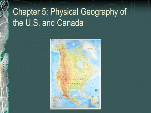
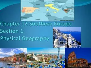
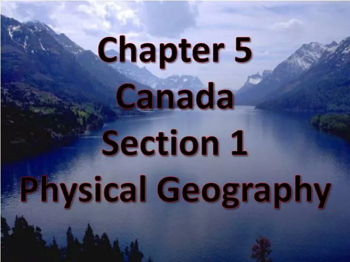
Chapter 5 Canada Section 1 Physical Geography. (Heading goes on the top right page) Ch 5 Sec 1 Canada’s Physical Geography Learning Goal: ( copy on left page above RAP) I will be able to identify Canada’s major landforms, rivers, lakes, climate types, and natural resources. Ch 5 Sec 1

E N D
Chapter 5 Canada Section 1 Physical Geography
(Heading goes on the top right page) Ch 5 Sec 1 Canada’s Physical Geography Learning Goal:(copy on left page above RAP) I will be able to identify Canada’s major landforms, rivers, lakes, climate types, and natural resources.
Ch 5 Sec 1 RAP (left page) Check your previous vocabulary list, then define these if you don’t have them already using three column notes Potash Pulp Newsprint
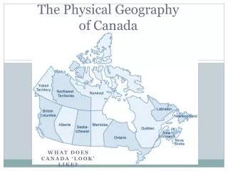
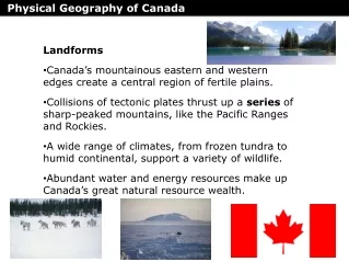
WOW (under RAP and continues on right as needed) Physical Features - much in common with US - shares major physical regions Landforms: Coast Mountains Rocky Mountains Canadian Shield St. Lawrence River Valley and Great Lakes region - near Alaska along Pacific Ocean - range from Colorado to northern Canada - region of rocky uplands, borders Hudson Bay - fertile farmland
WOW - notes (under RAP and continue on to right page as needed) Lakes and Rivers: Great Lakes Largest lakes St. Lawrence River - 5 Great Lakes form a natural border between US - Erie, Huron, Superior, Michigan, Ontario - many carved by Ice Age Glaciers - Great Bear and Great Slave - most important river - connects the Great Lakes to Atlantic Ocean
WOW - notes • (under RAP and continue on to right page as needed) Climate: - humid continental - marine west coast, mildest - subarctic - tundra, ice cap - soil that remains frozen - underlies about half of Canada Central and Eastern Southwest Central and North Far North Permafrost
WOW - notes • (under RAP and continue on to right page as needed) Resources: - most valuable - nickel, zinc, uranium, lead, copper, gold, silver, coal, potash, - provide lumber and pulp - thousands of lakes and rivers - beauty and nature - fertile soil for farming - oil and natural gas Minerals Forests Fishing Tourism
WIO(right page) Ch 5 sec 1 Canada’s Physical Geography Paste regional map into ISN and color each region. Create a map legend as you complete each area.