Download
1 / 31
310 likes | 465 Vues
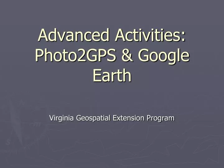
Advanced Activities: Photo2GPS & Google Earth. Virginia Geospatial Extension Program. Photo2GPS. A free software program that associates GPS track files with digital photographs Created by the Geospatial Extension Educator at the University of Connecticut

E N D
Advanced Activities:Photo2GPS & Google Earth Virginia Geospatial Extension Program
Photo2GPS A free software program that associates GPS track files with digital photographs Created by the Geospatial Extension Educator at the University of Connecticut Can be downloaded from http://clear.uconn.edu/geospatial/GPSResources.htm
Customized Final Product Click on icon to see photo taken at that location
Work Flow GPS tracks KML file DNR Garmin to Track gpx file Photo2GPS Take photo of GPS unit with Time displayed Digital Photos University of Connecticut, Geospatial Technology Program
Interpolated Photo Locations 24 seconds between track points 2007/04/02-15:42:32 2007/04/02-15:42:44 2007/04/02-15:42:18 2007/04/02-15:42:03 15:42:28 Track points w/ date and time displayed Picture taken at 15:42:28 which puts it two thirds of the distance between the track points University of Connecticut, Geospatial Technology Program
Steps to Use Photo2GPS • Take a close-up picture of the GPS unit that shows the GPS time • Make sure it is in focus • Use the “flower” or macro setting on your digital camera • If the final product will be on the web, use the smallest photo resolution setting • Make sure the GPS unit time is set for 24 hours (instead of 12) & the time zone is appropriate for your location
Steps to Use Photo2GPS Cont. Project folder Photos folder Output folder • On the GPS - Clear the track log, MAKE sure TRACKS ARE TURNED ON – record a new track while taking pictures • The digital camera & GPS unit do not have to be set to the same time, Photo2GPS will synchronize the times! • Go out, photograph the GPS unit & your community assets • On your computer – Create a Project folder and create a “Photos” & “Output” folder within the Project folder
Downloading Tracks • Using DNR Garmin, download your tracks to the project folder & save in a gpx file format • See DNR Garmin Handbook for Educators - http://www.cnr.vt.edu/gep/tools.html • Turn GPS unit on • Connect GPS unit to computer • The computer should recognize GPS unit – if not need to download GPS driver from support website (for a Garmin unit this would be http://www8.garmin.com/support/blosp.jsp) • Start DNR Garmin software • If you cannot connect: • Using serial port connection - Go to GPS menu select “Set Port” (usually Port1), select “Set Baud Rate” (set to 9600) & select “Auto Connect to GPS” • Using USB connection – Go to GPS menu select “Set Port” (set to USB)
Downloading GPS Tracks Cont. • Once your connected, download Tracks > Go to the Track menu, select Download • To save the track > Go to the File menu, select “Save To”, select “File” • A new window will open, browse to your project folder you created previously & save the GPS track **Change the “Save as type” to “GPS eXchange Format (*.gpx)”
Steps to Use Photo2GPS Cont. • Download pictures & save in the “Photos” Folder • Copy the photos from the camera, DONOT use the software program (that may come with your camera) to transfer the photos. This changes the <Date Modified> field so that it’s different from the <Date Picture Taken> field • Do not do any photo altering – photos can be altered AFTER using Photo2GPS • Photo2GPS reads the <Date Modified> field
Trouble Shooting… This is correct! Make sure that the date modified / time is the correct time that the photos were taken (in the <Date Modified> field)… This will cause problems! In this example, the date modified date/time for all photos are all the same. This suggests that the user either: Used a software program to transfer the photos from the camera to the computer Altered the photos later using Photoshop, etc.
Start the Photo2GPS Program Double-click the Photo2GPS desktop shortcut or navigate to your C drive & open Photo2GPS folder Click the “Set photo directory…” button University of Connecticut, Geospatial Technology Program
Navigate to the folder where you downloaded your digital pictures. Click the Select Folder button. A message window will appear indicating that the scan has been completed. Scan the Image Folder University of Connecticut, Geospatial Technology Program
Navigate to your C:\GPSCourse\Photo2GPS\Output folder Specify Output Folder Click the “Set Output Folder…” button *This is where final outputs will be stored University of Connecticut, Geospatial Technology Program
Select the GPS Track to be Associated with your Digital Photos Click the “Select GPS file…” button University of Connecticut, Geospatial Technology Program
Select the GPS Track Click the Browse Button 1 Navigate to the folder with the track file 2 3 Highlight the appropriate file 3 4 Click Select Button 4 University of Connecticut, Geospatial Technology Program
Adjust GPS Receiver Time to Match Digital Camera Time Click the “Set Time Adjust…” button. University of Connecticut, Geospatial Technology Program
Calculate Time Offset Navigate to the Photos folder 1 Click on the photo of the GPS time & type the visible time in the box 2 4 3 Click the “Calc Time Diff” button 3 Click the Close button 4 University of Connecticut, Geospatial Technology Program
Map the Photos to GPS Locations Click the Map Photos button. Photo locations will appear as blue dots • Two output files will be created in the Photo2GPS\Output folder: • A text file (that can be loaded into DNRGarmin to create a GIS shapefile) • KML for use with Google Earth • Click the Close button. • Then Close the Photo2GPS application University of Connecticut, Geospatial Technology Program
View Data in Google Earth * Assuming G.E. is already installed Start Google Earth (Start > All Programs > Google Earth) OR Double click on the KML file in your output folder
Open KML File from G.E. File menu > Open Browse to your output folder, select the KML file & click Open
Viewing KML File Red icons are photos Click on icon to see photo taken at that location
Google Earth Quirk If for some reason you do not see your photos when you select an icon, not to worry there is a work around. Go to the File menu > Select “Save”, then “Save Place as” Save file as a KMZ in a location you can find Now close Google Earth Double click on the .kmz file you just created. Your photos should show up now Continue with customization using KMZ instead of your KML…
To Customize/Package KML & Photos for Distribution • Click in the appropriate area/tab to change the attribute (Name, icon, description, etc) • Open the KML file open in Google Earth • To customize the Photos, right click on the photo icon & select Properties
KML Customization Cont. • You can turn off the track so only the photos & their locations are shown • Under the Places menu on the left, expand GPSPhotos under Temporary Places • Uncheck the GPSPath01 layer • Once all changes have been made, the file needs to be saved & packed for distribution • Select the File menu, then “Save”, then “Save Place as”
To Change the Photo Icon • Click on Photo Icon • Icon window will open, Choose desired icon • Can change color of any icon • Click on Color • Select desired hue
KML Customization Cont. • Once all changes have been made, the file needs to be saved & packed for distribution • Select the File menu, Select “Save”, then “Save Place as” • Save file as a KMZ • this packages the photos & KML file together so they can be easily disseminated (emails, websites, etc.)
KML Customization Cont. • You can now post this KMZ file on a website to be downloaded or email/mail the file to other people • KMZ file size is largely dependent on the photo size • Potential users need to install Google Earth to view the KMZ file
What can you do with this? Can email KMZ file to other users Post KMZ file to group website Inventory community assets such as Champion Trees, gardens, arboretums, historic sites, etc
Any Questions? Jennifer McKee Geospatial Project Developer jmckee@vt.edu 540-231-9115 Special Thanks toUniversity of Connecticut Geospatial Technology Program & the University of New Hampshire Geospatial Training Program John McGee Geospatial Extension Specialist jmcg@vt.edu 540-231-2428