Download
1 / 10
100 likes | 196 Vues
Committee activities related to the GeoInforM. Development of the digital map of geological zoning of S.Petersburg.

E N D
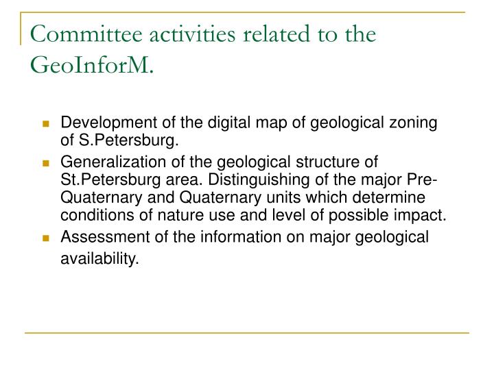
Committee activities related to the GeoInforM. • Development of the digital map of geological zoning of S.Petersburg. • Generalization of the geological structure of St.Petersburg area. Distinguishing of the major Pre-Quaternary and Quaternary units which determine conditions of nature use and level of possible impact. • Assessment of the information on major geological availability.
Development of the digital map of geological zoning of S.Petersburg. • Information complex “Environmental passport of St.Petersburg” includes the following geological information: • Geological map of crystalline basement (1:200000) • Geological and hydrogeological maps of quaternary and pre-quaternary deposits (1:50000) • Engineering geological maps (1:25000)
Development of the digital map of geological zoning of S.Petersburg. In the end of 2007 digital map of city area zoning for construction conditions will be integrated to the information resources of the Committee. The map scale is 1:25000.
Distinguishing of the major Pre-Quaternary and Quaternary units which determine conditions of nature use and level of possible impact. In the end of 2007 digital map of city area zoning for construction conditions will be integrated to the information resources of the Committee. Scale of the map is 1:25000.
Geological information in Russia • State owned geological information is reported to federal and regional funds of geological information. Access to the information and its use are regulated by federal or regional authority. • Private geological information is also reported to federal or regional funds of geological information. Access to the information and its use are regulated by special agreements.
Geological information in Russia Types of available information resources: • Reports on geological studies • Local scale geological studies • Regional geological studies • Scientific geological studies • Scientific publications • Geological maps (hydrogological, tectonic, engineering geological etc.) • Geological licenses • Reports on state expert examination Reports of state geological inspection
Geological information available in Saint-Petersburg Geological data inventory shown that the most of information is concentrated in the following archives: • Archive of “All Russian geological institute” contains reports related to the period 1935-1951 years. • Federal Archive of geological information of North-West region keeps the most part of the geological information. • Archive of the state company “Trest GRII” contains reports on geological examinations for building. Access to information is restricted.
Geological information available in Saint-Petersburg • Archive of the Federal state company “Petersburg geological expedition” contains reports on engineering-geological studies for the most significant constructions in the city. • Archive of the Federal state company “All Russian research institute for hydrogeology and engineering geology” keeps reports on regional hydrogeological and engineering geological studies. The archive is in Moscow. • Some other geological institutes and high schools have archives with geological information.
Geological information available in Saint-Petersburg Results of geological data inventory: • Crystalline basement - 3 reports (1948-2001) • Pre-quaternary deposits – 7 reports (1935-2001) • Quaternary deposits – 6 reports (1935 – 2001) • Tectonic mapping – 3 reports (1968 – 1990) • Hydrogeological studies – 9 reports (1952-2003) • Engineering geological studies – 5 reports (1953-1989)
Geological information available in Saint-Petersburg Difficulties: • The most part of geological information is on paper. Only a few reports contains digital maps and databases. • The most part of raw data were lost during the reorganization.