Download
1 / 32
320 likes | 474 Vues
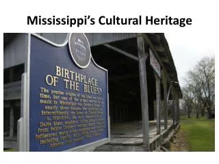
Cultural heritage asset management plans (CHAMP) Project. Project data sources, transformation and submission Jay Carver- Task Manager. The problem. No inventory of cultural heritage on network No data on quantification location or condition Data searches on ad hoc basis

E N D
Cultural heritage asset management plans(CHAMP) Project Project data sources, transformation and submission Jay Carver- Task Manager
The problem... No inventory of cultural heritage on network No data on quantification location or condition Data searches on ad hoc basis Data not available from existing single source Related ad hoc costs No method of measuring performance
Design a GIS database application to manage heritage assets within the HA estate – Outcome – Cultural Heritage topic in ENVIS The Solution...
We can go from this…. To this….
HA have populated records at national level Data will be provided on HAGIS and Area shapefile datasets to MAC’s and DBFO’s (SP’s) supplied by servicepoint+ Data updates to HAGIS will be made quarterly by SP’s – Envis Governance Data refreshment between HAGIS & NMR and HER’s shall be managed by EMT HAGIS/Envis/Cultural Heritage data
HA EMT to develop data exchange routines with data providers NMR datasets EMT will check NMR records for changes every quarter and incorporate changes to HAGIS controlled version HER datasets EMT will check HER records annually for changes Service provider ID any changes to NMR records or HER records as and when Document changes in quarterly data submission to HAGIS Data refreshment
HAGIS Dataset HA supplied data Envis D-base structure Start Desk top review CHMP Management Action Plan Condition survey Review In SP and external Analysis of Results Implementation...the CHAMP process...
HAGIS dataset - supplied to SP’s GIS Mapping Database (that represents the location of all heritage assets within HA estate and buffer zones) Point, poly line and polygon shapefiles Attached Database - that records feature and management information within HAGIS application [and locally in your GIS] Other attachments – request original data copies as reference source
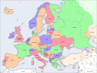
Level 1 – English Heritage maintains record of all statutorily protected and registered assets- source: NMR at Swindon- Level 2 each local authority (County Council/Municipality/National Park) holds regional d-base of non-statutory assets Data sources
Cultural Heritage Asset Management Plans (CHAMP) – data structure
Level 1 data – the key assets that need monitoring and management – legal and mandatory duty Level 2 data – often supporting information and locally important assets that may need management Management
Manage current dataset- provide updates Change/ Update/revise attribute data in existing records- E.g. condition information added, status change, change to spatial record Create new records When new ‘event’ carried out – e.g. watching brief.. When asset moved – new spatial record When newly registered asset assigned by authority (link to EMT data refreshment) Should/can records be deleted? Key SP tasks for managingCHAMP dataset
Cultural Heritage Asset Management Plans (CHAMP) – data structure IAN/84/07 part 4 Annex A.5.1
Mapping database Estate boundary Buffer zone Points, lines and polygons
Level 1 – 1km Level 2- 100m Data coverage
Access NMR Level 1 data for all England Spatial data and reduced attribute data http://www.english-heritage.org.uk/nmr
Data field names Controlled values (LUT’s) and external wordlists Controlled field types Controlled character lengths Controlled GIS file formats and rules No Multipoint files Key issues - ENVIS
GIS record and attribute data mostly separated (PDF and word files) Cut and paste/interpretation needed hence specialist task Inconsistent attribute data – hence specialist task Edit field data to match ENVIS character length – hence specialist task Multipoint files common - explode ‘Duplicates in Level 2 and Level 1 records’ – delete Joining datasets for submission Look out for field format change when exporting data from Access and ArcView Key issues- transformation of source data
Look up tables control data values for several fields These are controlled and available from ATOS Only accept controlled versions Don’t write your own… LUT’s
Some fields controlled by external word lists Example:TYPE_field..NMR www.link Links to these provided in DMRB guidance Other controlled content
Software tools Resources used to manage data Option to create ad hoc forms….. DBF Manager