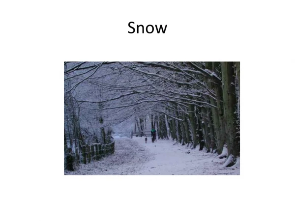
Download
1 / 19
190 likes | 327 Vues
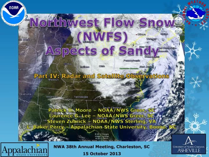
Northwest Flow Snow ( NW FS) Aspects of Sandy. Patrick D. Moore – NOAA/NWS Greer, SC Laurence G. Lee – NOAA/NWS Greer, SC Steven Zubrick – NOAA/NWS Sterling, VA L. Baker Perry – Appalachian State University, Boone, NC. Part IV: Radar and Satellite Observations.

E N D
Northwest Flow Snow (NWFS) Aspects of Sandy Patrick D. Moore – NOAA/NWS Greer, SC Laurence G. Lee – NOAA/NWS Greer, SC Steven Zubrick – NOAA/NWS Sterling, VA L. Baker Perry – Appalachian State University, Boone, NC Part IV: Radar and Satellite Observations NWA 38th Annual Meeting, Charleston, SC
NWFS Aspects of Sandy4-part Series • Part I: A General Overview of NWFS in the Southern Appalachians • Part II: A Unique Synoptic Setting for the Production of Northwest Flow Snow • Part III: Moisture Anomalies and Trajectory Analysis • Part IV: Radar and Satellite Observations NWA 38th Annual Meeting
NWFS Aspects of SandyPart IV: Radar and Satellite Observations • Radar evidence of Mountain Wave • Unusual movement of radar echoes early in event • Radar evidence of inertial gravity waves • MicroRain radar at Poga Mountain, NC • Comparison of reflectivity between dual- and single-polarization radar data • Satellite evidence of Great Lakes connection NWA 38th Annual Meeting
RAP Cross-Section Through Mountain Wave2300 UTC 29 October 2012 850 mb Line A – A’ relative humidity (color fill), omega (light blue contours), wind (barbs), and saturated equivalent potential temperature (yellow contours). NWA 38th Annual Meeting
Radar Evidence of Mountain Wave NWA 38th Annual Meeting
Unusual Northeast to Southwest Movement of Precipitation NWA 38th Annual Meeting 1800 UTC – 2000 UTC 29 October 2012
Radar Evidence of Inertia Gravity Waves? NWA 38th Annual Meeting KJKL 2.4 degree Reflectivity 0305 UTC – 0503 UTC 30 October 2012
MicroRain Radar, Poga Mountain, NC NWA 38th Annual Meeting Data obtained from Baker Perry, Appalachian State Univ.
KMRX Dual-Pol 0.5 degree Base Products1001 UTC 30 October 2012 NWA 38th Annual Meeting
GOES-13 Infrared Imagery1002 UTC 30 October 2012 NWA 38th Annual Meeting
Observations at Flat Springs, NC NWA 38th Annual Meeting
Radar Comparison NWA 38th Annual Meeting KJKL 1.5 degree Reflectivity 1159 UTC 30 October 2012
Radar Comparison NWA 38th Annual Meeting KMRX 1.5 degree Reflectivity 1159 UTC 30 October 2012
Great Lakes Connection1700 UTC 30 October 2012 IR Vis CAPE Streamlines NWA 38th Annual Meeting
HYSPLIT Backward Trajectories48 hours ending 1800 UTC 30 October 2012 • Tri-Cities Regional Airport, TN • Trajectories • 100 m – red • 500 m – blue • 1000 m - green NWA 38th Annual Meeting
Composite Reflectivity Mosaic1700 UTC 30 October 2012 NWA 38th Annual Meeting
Comparison with “Classic NWFS”1657 UTC 27 February 2008 NWA 38th Annual Meeting
Aqua MODIS Imagery 1850 UTC 1 November 2012 NWA 38th Annual Meeting Space Science and Engineering Center, Univ. of Wisconsin - Madison
Questions? NWA 38th Annual Meeting Photo by Baker Perry