Download
1 / 12
160 likes | 581 Vues
SATELLITES. SATELLITE. WHAT IS A SATELLITE?. In the context of spaceflight a satellite is an object which has been intentionally placed into orbit. Such objects are called artificial satellites. International .

E N D
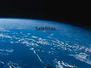
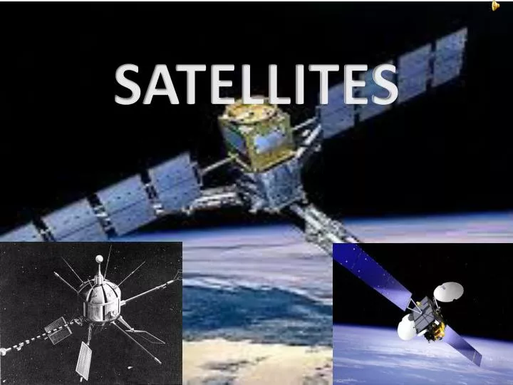
SATELLITE WHAT IS A SATELLITE? In the context of spaceflight a satellite is an object which has been intentionally placed into orbit. Such objects are called artificial satellites International
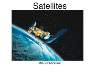
The world's first artificial satellite, the Sputnik 1, was launched by the Soviet in 1957. Since then, thousands of satellites have been launched into orbit around the Earth. Some satellites, notably space stations, have been launched in parts and assembled in orbit. Artificial satellites originate from more than 50 countries and have used the satellite launching capabilities of ten nations. A few hundred satellites are currently operational, whereas thousands of unused satellites and satellite fragments orbit the Earth as spacedebris. A few space probes have been placed into orbit around other bodies and become artificial satellites to the Moon, Mercury, Venus, Mars, Jupiter,Saturn, Vesta,Eros, and the Sun.
INDIAN SATELLITES INSAT or the Indian National Satellite System is a series of multipurpose Geo-stationary satellites launched by ISRO to satisfy the telecommunications, broadcasting, meteorology, and search and rescue operations. Commissioned in 1983, INSAT is the largest domestic communication system in the Asia Pacific Region. It is a joint venture of the Department of Space, Department of Telecommunications, India Meteorological Department, All India Radio and Doordarshan. The overall coordination and management of INSAT system rests with the Secretary-level INSAT Coordination Committee. INSAT satellites provide transponders in various bands (C, S, Extended C and Ku) to serve the television and communication needs of India. Some of the satellites also have the Very High Resolution Radiometer (VHRR), CCD cameras for metrological imaging. The satellites also incorporate transponder(s) for receiving distress alert signals for search and rescue missions in the South Asian and Indian Ocean Region, as ISRO is a member of the Cospas-Sarsatprogramme.
Aryabhata INDIA’S 1ST SATELLITEARYABHATA Aryabhata was India's first satellite, named after the great Indian astronomer of the same name. It was launched by the Soviet Union on 19 April 1975 from Kapustin Yar using a Kosmos-3M launch vehicle. It was built by the Indian Space Research Organization (ISRO) to gain experience in building and operating a satellite in space. The 96.3 minute orbit had an apogee of 619 km and a perigee of 563 km, at an inclination of 50.7 degrees. It was built to conduct experiments in X-ray astronomy, aeronomics, and solar physics. The spacecraft was a 26-sided polygon 1.4 m in diameter. All faces (except the top and bottom) were covered with solar cells. A power failure halted experiments after 4 days in orbit. All signals from the spacecraft were lost after 5 days of operation. The satellite reentered the Earth's atmosphere on 11 February 1992. The satellite's image appeared on the reverse of Indian 2 rupee banknotes between 1976 and 1997 (Pick catalog and one rupee note number: P-79a-m).
Latest satellite launched by ISRO(INDIAN SPACE RESEARCH ORGANISATION) • Launched on july 2nd 2013 • PSLV-C22 Successfully Launches IRNSS-1A, India's First Navigation SatelliteISRO's Polar Satellite Launch Vehicle, PSLV-C22, successfully launched IRNSS-1A, the first satellite in the Indian Regional Navigation Satellite System (IRNSS), in the early morning hours of today (July 2, 2013) from SatishDhawan Space Centre, Sriharikota. This is the twenty third consecutively successful mission of PSLV. The 'XL' configuration of PSLV was used for the mission. Previously, the same configuration of the vehicle was used thrice to launch Chandrayaan-1, GSAT-12 and RISAT-1 satellites. At the completion of the countdown, PSLV-C22 lifted off from the First Launch Pad at 23:41 hrs IST yesterday (July 1, 2013) with the ignition of the first stage and four strap-on motors of the launch vehicle. The important flight events, namely, stage and strap-on ignitions, heat-shield separation, stage and strap-on separations and satellite injection took place exactly as planned. After a flight of 20 minutes 17 seconds, the IRNSS-1A Satellite, weighing 1425 kg, was injected to the intended elliptical orbit of 282.46 km X 20,625.37 km. After injection, the solar panels of IRNSS-1A were deployed automatically. ISRO's Master Control Facility (at Hassan, Karnataka) assumed the control of the satellite. In the coming days, five orbit maneuvers will be conducted from Master Control Facility to position the satellite in its Geosynchronous Circular Orbit at 55 deg East longitude.
MAJOR SATELLITESTHE IRS • Indian Remote Sensing satellites (IRS) are a series of Earth Observation satellites, built, launched and maintained by Indian Space Research Organization. The IRS series provides many remote sensing services to India. • India began to develop the indigenous Indian Remote Sensing (IRS) satellite program to support the national economy in the areas of agriculture, water resources, forestry and ecology, geology, water sheds, marine fisheries and coastal management. • Towards this end, India established the National Natural Resources Management System (NNRMS) for which the Department of Space(DOS) is the nodal agency, providing operational Remote sensing data services. Data from the IRS satellites is received and disseminated by several countries all over the world. With the advent of high-resolution satellites new applications in the areas of urban sprawl, infrastructure planning and other large scale applications for mapping have been initiated. • The IRS system is the largest constellation of remote sensing satellites for civilian use in operation today in the world, with 12 operational satellites. All these are placed in polar sun-synchronous orbit and provide data in a variety of spatial, spectral and temporal resolutions. Indian Remote Sensing Programme completed its 25 years of successful operations on March 17th, 2013.
THE HUBBLE SPACE TELESCOPE • The Hubble Space Telescope (HST) is a Space telescope that was carried into orbit by a Space Shuttle in 1990 and remains in operation. A 2.4-meter (7.9 ft) aperture telescope in low Earthorbit, Hubble's four main instruments observe in the nearultraviolet, visible, and near infrared. The telescope is named after the astronomer Edwin Hubble. • Hubble's orbit outside the distortion of Earth's atmosphere allows it to take extremely high-resolution images with almost no background light. Hubble's Deep Field has recorded some of the most detailed visible-light images ever, allowing a deep view into Space and time. Many Hubble observations have led to breakthroughs in astrophysics, such as accurately determining the rate of expansion of the universe. • Although not the first Space telescope, Hubble is one of the largest and most versatile, and is well known as both a vital research tool and a public relations boon for astronomy.
GALAXY 15 • Galaxy 15 is an American telecommunications satellite which is owned by Intelsat. It was launched for and originally operated by PanAmSat, and was subsequently transferred to Intelsat when the two companies merged in 2006. It was originally positioned in geostationary orbit at a longitude of 133° West, from where it was used to provide communication services to North America. In April 2010, Intelsat lost control of the satellite, and it began to drift away from its orbital slot, with the potential to cause disruption to other satellites in its path. • On 27 December 2010, Intelsat reported that the satellite had rebooted as per design and the command unit was responding to commands again. In addition, the satellite had been secured in safe mode and the potential for interference issues from Galaxy 15 had ceased.On 14 January 2011 the satellite was located near 93° west, where further testing is scheduled to be performed. On March 18, 2011, Galaxy 15 has been re-certified from the FAA and is now sending GPS signal corrections. Intelsat repositioned Galaxy 15 back to its original location on April 4, 2011.
GOES 12 • GOES 12, known as GOES-M before becoming operational is an American weather satellite, which is part of the US National Oceanic and Atmospheric Administration's Geostationary Operational Environmental Satellite system. It was launched in 2001, and as of April 2010 it is in standby orbit. Prior to standby, it was operating in the GOES-EAST position, providing coverage of the east coast of the United States.
LANDSAT 7 • Landsat 7, launched on April 15, 1999, is the seventh satellite of the Landsat program. Landsat 7's primary goal is to refresh the global archive of satellite photos, providing up-to-date and cloud-free images. The Landsat Program is managed and operated by the USGS, and data from Landsat 7 is collected and distributed by the USGS. The NASA World Wind project allows 3D images from Landsat 7 and other sources to be freely navigated and viewed from any angle. The satellite's companion, Earth Observing-1, trails by one minute and follows the same orbital characteristics. Landsat 7 was built by Lockheed Martin Space Systems Company.