Download
1 / 13
130 likes | 134 Vues
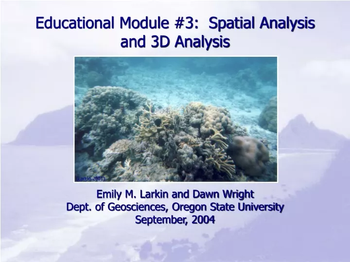
(Larkin 2001). Educational Module #3: Spatial Analysis and 3D Analysis. Emily M. Larkin and Dawn Wright Dept. of Geosciences, Oregon State University September, 2004. Objectives. On completion of the project, you should be able to: Create a new shapefile. Add data to a shapefile.

E N D
(Larkin 2001) Educational Module #3: Spatial Analysis and 3D Analysis Emily M. Larkin and Dawn Wright Dept. of Geosciences, Oregon State University September, 2004
Objectives • On completion of the project, you should be able to: • Create a new shapefile. • Add data to a shapefile. • Convert a bathymetry grid to a 3D display • Complete viewshed and hillshade analyses • Select features using the attribute table • Buffer a shapefile. • Define: Viewshed and hillshade
Hillshade • Creates shading on a Digital Elevation Model (DEM) or a bathymetry layer to make it appear three-dimensional • Appearance depends on the azimuth and altitude of the imaginary light source used. • Azimuth—the direction from which the light is coming (north = 0°, east = 90°--most common = 315°) • Altitude—the angle above the horizon of the light source (most common = 45°)
Viewshed • Viewshed shows what can be seen from a certain point on the landscape (i.e. “what can I see from the top of this hill”) • A set of points must be created to make a viewshed surface • Spatial analyst determines what can be seen from those points.
3D Marine Mapping • ArcMap makes 2D maps • ArcScene makes 2.5D maps—cannot actually calculate volumes, but can draw in 3D, based on depth or elevation information. • Other software, such as Fledermaus is required to make truly 3D maps
3D Marine Mapping • Triangulated Irregular Network (TIN)—this is a file format that represents a surface in 3D. • It is created from a surface, such as a bathymetry file. TIN of Fagaitua Bay
MPA Project • There are three federal MPAs in American Samoa • Fagatele Bay NMS • National Park of American Samoa • Rose Atoll National Wildlife Sanctuary* *This is the only no-take marine sanctuary in American Samoa
Marine Protected Area (MPA) Project • Goals • Produce a short (3-5 pages, double-spaced) proposal for a hypothetical marine protected area (MPA) • Demonstrate the connection between GIS data on a computer screen and real-world problems
MPA Project • Things to consider in your proposal: • What kind of maps do you need? Make sure they are understandable for someone who is not familiar with GIS. • Who might be affected by the MPA? • Why does your area need to be an MPA? • How you would address village concerns? • What kind of fishing, if any, will you allow? • How will you enforce the rules?
MPA Project • Things to remember: • This is a hypothetical MPA, not a proposal for a real one. • There is no one right answer. • You can create any kind of reserve you want as long as you can produce a strategy for getting your proposal accepted. • You are free to use any resources you find helpful (e.g. Internet resources), just be sure to cite them.
Module #3 • Bathymetry from Fagatele Bay National Marine Sanctuary (FBNMS) and Fagaitua Bay • Hillshade, viewshed analyses for FBNMS • 3D rendering of FBNMS • Coral Reef Ecosystem Division ground-truth points for Fagaitua Bay