Download
1 / 36
370 likes | 384 Vues
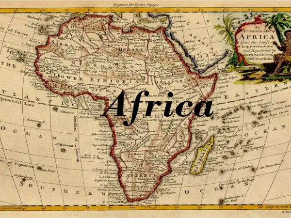
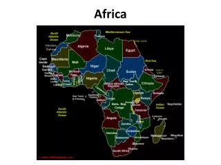
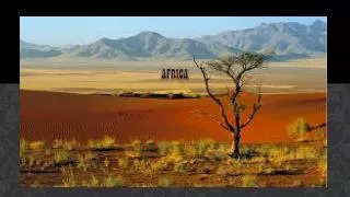
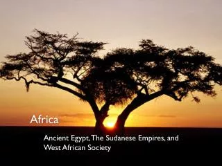
Africa. Physical Geography SSWG4a. 2 nd Largest Continent. Africa is a huge continent – from east to west , its widest point is the same distance between Moscow and NYC (4,000 miles).

E N D
Africa Physical Geography SSWG4a
2nd Largest Continent • Africa is a huge continent – from east to west , its widest point is the same distance between Moscow and NYC (4,000 miles). • North and south distance is the same as the distance between northern Alaska and the Panama Canal – 5,000 miles. • A huge plateau covers much of Africa • Most of the continent is 1000 feet above sea level
Factors of Isolation • Almost all unbroken and irregular coastlines…few natural harbors for ships to anchor for trade and exploration. • Most rivers have falls and rapids because of the elevation – people could not sail up the rivers to explore. • The Sahara is the largest desert in the world (bigger than the US). More rocky than sandy. Prevented movement between northern Africa and southern Africa
Mountains/Highlands • Major Highlands: Ethiopian Highlands/Plateau, Mt. Kilimanjaro • Ethiopian Highlands were created because of volcanic eruptions long ago • Kilimanjaro an inactive volcano.
Mountains Ethiopian Highlands/Plateau Mt. Kilimanjaro
Rivers • Major Rivers: Nile, Congo, Zambezi, Senegal, Niger, Orange • Nile is the longest river in the world (flows north) • Victoria Falls is part of the Zambezi River System
Rivers Nile River Zambezi River
Valleys/Plains/Basins • Major features: Congo Basin, Great Rift Valley • The Congo Basin contains almost 20% of the world's rain forest. • Great Rift Valley is a great depression in eastern Africa
Valleys/Plains/Basins Great Rift Valley Congo River Basin
Deserts • Major features: Sahara, Kalahari, Namib • Covering almost one-third of the continent, the Sahara is the largest desert in the world • The Kalahari, covered largely by reddish sand, lies between the Orange and Zambezi rivers
Deserts Sahara Desert Kalahari
Lake • Major Features: Lake Victoria, Lake Tanganyika, Lake Nyasa, Lake Chad • Most are precious water sources and have high population density around them. • Lake Victoria is the largest African lake • Lake Chad is shrinking because of its location.
Lakes Lake Chad Lake Victoria
Additional Land Features • Major Features: Horn of Africa, Sahel • The Sahel is on the southern edges of the ever-expanding Sahara Desert. It’s a transition zone between the dry areas of the north and the tropical areas of the south. • Horn of Africa is the peninsula on the eastern side of the continent.
Other Land Features Horn of Africa Sahel
General Information • Africa contains dry and hot deserts, warm tropics, and permanently snow-capped mountains • Africa’s vegetation includes thick rain forests, tall grasslands, and desert areas
The Desert • Only 20% is sand; rest is mountains, rocks, gravelly plains • Saharan travelers rely on camels that can go 17 days without water • 6,000 feet under Sahara are aquifers-stores of underground water • when this water comes to the surface it creates an oasis • Other African deserts include Kalahari, Namib
Desertification • Sahelmeans “shore of the desert” • narrow band of grassland runs east-west along southern Sahara edge • used for farming, herding • Since 1960s, desert has spread into Sahel • desertification—expansion of dry conditions into nearby moist areas • natural, long-term desertification cycles sped up by human activity
Human Causes for Desertification • Livestock overgrazing exposes and tramples soil, increases erosion • Clearing land for farming increases erosion • Water drilling, irrigation increase soil’s salt levels • vegetation growth is stunted • Population levels require more crop land, more fuel (wood) to burn
Tai National Park, Côte d’Ivoire – site of world’s highest deforestationrate These images show deforestation rate in the area, believed to be one of the highest in the world • 1988: Shows destruction of small forest fragments • 2002: The lighter green strip bisecting the images is the result of extensive deforestation and intensive cultivation
Deforestation in Itampolo, Madagascar These images show the changes in narrow coastal plain • 1973: Shows heavily forested area home to unique and rare plant and animal species • 2001: Burning of forest to clear land for dry rice cultivation, has led to disappearance of forest area (seen as tan)
Deforestation Around Lake Nakuru, Kenya These images show the land cover degradation in the lake’s catchment • 1973: The area that hosts the world’s largest concentration of flamingos • 2000: Excision of forest in the Eastern Mau Forest Reserve (white lines) will most likely lead to disappearance of upper catchment forest cover
Deforestation Around Lake Nakuru, Kenya These images show the land cover degradation in the lake’s catchment • 1973: The area that hosts the world’s largest concentration of flamingos • 2000: Excision of forest in the Eastern Mau Forest Reserve (white lines) will most likely lead to disappearance of upper catchment forest cover
Sunshine and Rainfall • Rains all year in rain forests; most of Africa has rainy seasons • Longer rainy seasons near equator; longer dry seasons near desert • West coast gets heavy rain • Sahara, other deserts may go years without rain
The Tropics • Africa has largest tropical area of any continent • 90% of Africa lies between tropics of Cancer, Capricorn • high temperatures year around • Africans say nighttime is the “winter” of the tropics
Tropical Grassland • Tropical grassland covers most of Africa • Serengeti Plain—northern Tanzania grassland • dry climate, hard soil prevent growth of trees, crops • Serengeti National Park has best grasslands in the world • some grasses grow taller than a person • ideal for grazing animals like wildebeests, • gazelles, zebras • site of largest numbers of migrating land mammals
Rainforest • Major tropical rain forests are on equator in Congo Basin • Farmers’ slash-and-burn methods endanger rain forest • Madagascar’s rain forest is almost completely gone • some estimate over half of Africa’s original rain forests are gone