Download
1 / 21
220 likes | 374 Vues
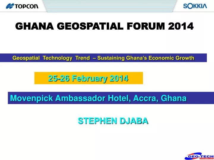
GHANA GEOSPATIAL FORUM 2014. Geospatial Technology Trend – Sustaining Ghana’s Economic Growth. 25-26 February 2014. Movenpick Ambassador Hotel, Accra, Ghana. STEPHEN DJABA. GeoSpatial Technologies. Introduction. Geospatial Technology

E N D
GHANA GEOSPATIAL FORUM 2014 Geospatial Technology Trend – Sustaining Ghana’s Economic Growth 25-26 February 2014 Movenpick Ambassador Hotel, Accra, Ghana STEPHEN DJABA
Introduction Geospatial Technology - Application have indeed become a worldwide phenomenon - Demand for Fast and Accurate Data Rises - Technologies that come along also follow suit - Connected to mapping, photogrammetry, remote sensing - One Root – SURVEYING Thus, - Technology improves for Geospatial also link to improvement in Surveying Technology - Surveying technologies are not limited only for Geospatial application So, It is my privilege to share with you a few of these technologies and how they have Shaped and been instrumental in the overall economic growth and development of our nation GHANA.
Land as a source of wealth and economic success • Land is one of the most valuable assets and an important base for the development of the wealth of a nation • The UN-ECE Committee on Human Settlements has pointed out that to unlock that wealth a nation must develop a framework of land and property laws, effective public institutions, secured procedures and processes an effective information system • Good land management is essential for the development of an effective land market and a source financial sector and will provide a basis for land management and land taxation.
History Technology: Simple Geometry Application: Re-establishment of farm boundaries
History Past-1900 AD Founder of Surveying Agency : Captain F. Gordon Guggisberg – Governor of Gold Coast Assigned the responsibility among others to Continue Mapping the concession in the colony Produce Maps of the major towns in the Gold Coast at a scale of 1:1250 Extend the responsibility to produce topographical Maps covering the whole colony
Geospatial as a Land Management Process tool • Good Geographic information systems (GIS) provide a good framework for managing development with spatial dimensions • Create certainty, provide a good means of updating spatial information and therefore present decision-makers with good basis for decision-making. • They are of utmost importance in socio-economic development, environmental management and monitoring. • The UN Commission notes that effective and sustainable land management is impossible without Geospatial Technology.
ACCURATE SPATIAL INFORMATION = GOOD PLANNING, DEVELOPMENT & MANAGEMENT
Real Challenges • Surveying Trends - Innovation • The Policy Challenge • Collaborative solution to Technology challenge • Practical Experiences • Geospatial Future ‘We all live in one inter-connected World’
OK! IMPACT ON THE SOCIETY BENEFITS • Benefit as a decision-making tool • Improved work quality (through data based decisions) • Greater use of information • Satisfaction of better serving customers • Better utilization of resources (greater production from fewer people) • Reallocation of personnel to areas of greater need • Cost savings realized • Greater demand for services • Fosters cooperation between groups • More efficient
Oil and Gas and Mining Geospatial support • Cadastral Conflict resolution • Elections (Use of Maps to give Ghana quick and authentic results • Tourism and Cultural Maps promoting rural income • Street Mapping: fueling postal and delivery business, combating crime, Taxation, utility payment investigations
Geo-Tech Group Factor in Ghana UMLIS – Street and Property Addressing Street naming and house numbering has started in Ayawaso.
The Future…. Multiple stations Tomorrow….
It is not the strongest of the species that survives, nor the most intelligent that survives. It is the one that is most adaptable to change. - Charles Darwin
Achieving Sustainable economic growth, creating the awareness requires all of us… Thank You!