Download
1 / 6
60 likes | 65 Vues
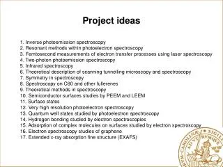
Some Project Ideas. Literature review of particular subjects – what is new since “Applied Hydrology” was originally published? What are the key papers in this field since 1988? Flood hydrology modeling and flood mapping Effect of flood control dams in Sanderson, Texas

E N D
Some Project Ideas • Literature review of particular subjects – what is new since “Applied Hydrology” was originally published? • What are the key papers in this field since 1988? • Flood hydrology modeling and flood mapping • Effect of flood control dams in Sanderson, Texas • Unsteady flow modeling using HEC-RAS
NRC Studies on Flood Mapping • Elevation Data for Floodplain Mapping (2007) • http://www.nap.edu/catalog.php?record_id=11829 • Examines elevation and image information supporting flood mapping and recommends coast to coast LIDAR for the nation • Mapping the Zone: Improving Flood Map Accuracy • http://www.nap.edu/catalog.php?record_id=12573 • Case studies of the uncertainty in hydrology, hydraulics and terrain data on flood map accuracy
Adjusted goal: 92% of population and 65% of land area will have a modernized map 21% of population has maps meeting the floodplain boundary standard and engineering study standard
Map Modernization in Texas Source: FEMA Region VI RMC
Sanderson, Texas County Seat of Terrell County
Flood Mapping in Sanderson • There is an existing paper flood map • There was a severe flood in Sanderson on June 11, 1967 in which 28 people died • The USDA Soil Conservation Service built several flood control dams upstream of Sanderson during the 1980’s • Sanderson needs a Digital Flood Insurance Rate Map to reflect the existence of these flood control dams http://www.sandersonchamberofcommerce.info/history/