Download
1 / 26
260 likes | 390 Vues
Broad River Watershed Assessment. Rachel Hodge Claire Ike Robin Barker. Problem Statement:.

E N D
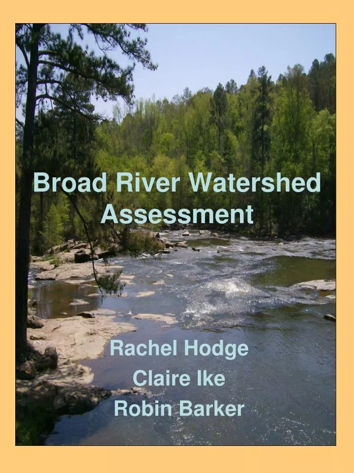
Broad River Watershed Assessment Rachel Hodge Claire Ike Robin Barker
Problem Statement: No comprehensive studies have been conducted regarding the ecological, hydrological, historical, economic, political, and social features within the Broad River watershed. A wide-ranging water basin characterization will allow the Broad River Watershed Alliance to identify important water monitoring sites.
Broad River Watershed Alliance • Founded in 1991 • Work with landowners to ensure protection of lands from harmful development • Act to conserve • Education and outreach through public forums • Adopt-A-Stream monitoring • River clean-ups
Broad River Background • Approximately 944,000 acres and includes parts of thirteen Georgia counties. • One of the last free-flowing rivers in Georgia. • Flowing south from its headwaters in Banks and Stephens Counties through Madison and Elbert Counties to its confluence with the Savannah River at the Clarks Hill/Strom Thurmond Reservoir. • Provides drinking water for the cities of Royston and Franklin Springs and it is an industrial and agricultural water supply for the region. • Recreational uses throughout • Canoeing, camping, kayaking, etc. • Provides habitat for deer, turkeys, bobcats, foxes, beavers, otters, muskrats, quail, dove, mallards, wood ducks, turtles, crayfish and many others.
Threats to Watershed • Agricultural non-point source pollution • Septic systems • Landfill leachate • Litter • Construction in the floodplain • Riverbank erosion • Destruction of the vegetative buffer • Lack of tributary protection • Poorly planned development
Heading North: What we Found on the South Fork • Sandy Creek • Shallow, can see the bottom from the top of bridge, turtles, brown water, shoal areas, exposed rocks, birds. • Watson Mill Bridge St. Park • Exposed rock, bridge that separates flowing water form reservoir (dam), water is clear with minimal trash, hydroponic vegetation. • Hwy 72 • slow water flow, shallow, sandbars, fallen trees, 80% canopy cover, stream not very wide. • South Fork Hwy 72 • minimal water flow, cut bank on one side, fallen trees blocking flow, turbid waters, sandy brown sediment. *Study points also taken from EPA
Field methods used • GPS- NAD 1983 Zone 17 N. • Photos • Visual observations
Resources • www.gis.state.ga.us • http://map8.epa.gov/scripts/esrimap.dll?name=NHDMapper&Cmd=ZoomInByCat&qc=3&th=6&lc=00010200000110_0000&fipsCode=03060104 • www.ga.water.usgs.gov • www.nwis.waterdata.usga.gov/ga/nwis/rt • www.landandfarm.com • http://www.fs.fed.us/conf/documents/mid_fork_broad_wsa.pdf • http://www.brwa.org/about/show/2 • http://www.uga.edu/~brwa/map.html • http://www.uga.edu/~brwa/river.html • http://www.garivers.org/resources/directory/directory_ae.html