Download
1 / 37
370 likes | 503 Vues
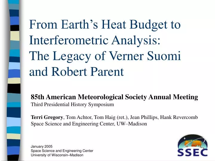
From Earth’s Heat Budget to Interferometric Analysis: The Legacy of Verner Suomi and Robert Parent. 85th American Meteorological Society Annual Meeting Third Presidential History Symposium Terri Gregory , Tom Achtor, Tom Haig (ret.), Jean Phillips, Hank Revercomb

E N D
From Earth’s Heat Budget to Interferometric Analysis: The Legacy of Verner Suomi and Robert Parent 85th American Meteorological Society Annual Meeting Third Presidential History Symposium Terri Gregory, Tom Achtor, Tom Haig (ret.), Jean Phillips, Hank Revercomb Space Science and Engineering Center, UW–Madison
Instruments Heat (Energy) Budget Space Flight Hardware Data Make Useful—Develop Algorithms Analyze Visualize Main Streams
Time Frames • The beginning, from about 1959–1972 • From about 1972–1995 • What we’re working on now
Instruments, Beginning • Heat budget • Radiation sensors • Flatplate radiometer • Spin-scan camera
Instruments • 1959—Radiation Sensors • On Explorer VII satellite • Provided useful new data on the global radiation budget
Instruments—Spin-scan Camera • Spin-scan camera on ATS-I • Begun in 1965,launched 1966 • Enabled the first geostationary weather observations
Analysis of imagery Algorithm development Numerical model development Satellite Meteorology Begins Data—1969
Data—Late 1960s • Color negative format • Disseminated world-wide
Data—late 1960sPlanetary Meteorology • Jet Propulsion Laboratory • Mariner images of Venus
Data—1971First Analysis Software—WINDCO • Fast, useful, inexpensive, accurate • Atmospheric motion measurements
The Middle Years, 1972~1992 • Instrument development • Heat budget • Altimeter • BLIS • GOES VAS • Interferometry • Software (data) developments • McIDAS • Vis5D
InstrumentsMiddle Period, Beginning • 1971—Inexpensive radio altimeter for Tropical Wind Energy Conversion and Reference Level Experiment • 1974—Boundary Layer Instrument for GARP Atlantic Tropical Experiment
1974—Orbiting Solar Observatory-8 1990—Hubble Space Telescope High Speed Photometer 1993—Diffuse X-ray Spectrometer 1978—Pioneer Venus, Net Flux Radiometer 1989—Galileo Net Flux Radiometer Instruments—Middle PeriodSpace Flight Hardware
Instruments—1980Visible and Infrared Spin-Scan Radiometer Atmospheric Sounder • Sounder in geostationary orbit • Launched on GOES-4 • Measured atmospheric moisture and temperature
Instruments,1980s to presentInterferometers • HIS, concept proven in 1985 • AERI • Scanning HIS
Data—1970s and ForwardSSEC Data Center • 1974, first nongovernmental ground station for geostationary satellite data • 1977, World Weather Experiment (FGGE), archive satellite wind vectors from cloud heights • 1979, became national archive for GOES data • 1990, Active Data Archive in EOS Data and Information System
Data, 1980–2000+Scientific Visualization • McIDAS—Man computer Interactive Data Access System • Vis5D—Scientific Visualization in 5 Dimensions
Data—1980sMcIDAS • Videointeractive • Data acquisition • Data analysis
Data—1980s and 1990sVis5D • Space (three D) • Time • Atmospheric parameter
Data—from 1980s Planetary Meteorology • Analysis of Voyager imagesbegan in 1980 • Ground-based and HST imagery analysis began
Data—1980sPlanetary Meteorology • Cloud shadows on Neptune
Now • Data • Instruments • Also • Thriving Polar Studies • Antarctic Meteorological Research Center • Ice Coring and Drilling Service
Vision of our Future • Advancing Earth Systems Science, Weather, and Climate with New Observing, Retrieval Science, Computing & Modeling Techniques • Sirice • Data processing for High-latitude Winds from Molniya Orbit • High spectral resolution and many channel imagers are here to stay • AIRS/ CrIS / IASI, GIFTS / ABS, & MODIS/VIRS
The Future, Continued • Visualization –McIDAS V • Planetary Meteorology and Space Flight Hardware • –Venus mission with Aerostats • Missing Baryon Explorer
GIFTS—Geosynchronous Imaging Fourier Transform Spectrometer Global sounding in <10 minutes High-resolution sounding of 6000 x 6000 km in < 30 min
I want to thank … • Margaret Mooney, SSEC outreach specialist, formerly with the National Weather Service, for listening and guiding • Tim Schmit, NOAA/NESDIS at SSEC, for explaining technical details • My coauthors who thought this topic was interesting enough to pursue • Staff of the Space Science and Engineering Center and Professor Verner E. Suomi, without whom I wouldn’t have a story
References • “The Man computer Interactive Data Access System,” Lazzara et al., BAMS, February 1999 • “SSEC and Satellites,” Gregory, Space Capsule, Spring and Winter 1986, publ. SSEC • “SSEC Highlights,” Gregory et al.,1999, 2000, 2001, 2002, 2003, publ. on line • “SSEC Milestones,” Fox and Gregory, unpublished • “Weather in the Solar System,” Limaye, 2002, unpublished