Download
1 / 41
410 likes | 512 Vues
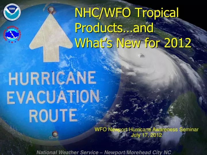
NHC/WFO Tropical Products…and What’s New for 2012. WFO Newport Hurricane Awareness Seminar July 17, 2012. National Hurricane Center Products. Interpreting the Cone. Represents the probable track of the center of the tropical cyclone.

E N D
NHC/WFO Tropical Products…and What’s New for 2012 WFO Newport Hurricane Awareness Seminar July 17, 2012
Interpreting the Cone • Represents the probable track of the center of the tropical cyclone. • Formed by connecting circles centered on each forecast point (at 12, 24, 36 h, etc.) • Size of the circles determined so that the actual storm position will be within the circle 2 out of 3 times, based on NHC statistics from the previous 5 hurricane seasons • It is important to remember that the center of the storm will remain entirely within the cone only about 60 – 70% of the time
Interpreting the Cone The cone only depicts probable track of the center of the tropical cyclone. • It says nothing about wind impacts • It says nothing about storm surge impacts • It says nothing about rainfall and/or flooding impacts • It says nothing about tornado impacts • It says nothing about rip currents and waves
Our Tropical Webpage http://www.erh.noaa.gov/mhx/Tropical.php
Tropical Impact Graphics • These graphical impact graphics become available when an area is placed under a tropical storm or hurricane watch or warning (typically 36 to 48 hours in advance of landfall.)
Wind Impact Graphics 24 hours prior to landfall – projection of 115 MPH hurricane
Coastal Flooding Impact Graphics 18 hours prior to landfall
National Digital Forecast Database (NDFD) • On our website under “Gridded Images” • 7-Day public, marine & fire weather forecasts • Dozens of elements shown in graphic format: temperature, weather, sky cover, relative humidity, wind speed/direction, seas and many more!
Hurricane Local Statement (HLS) • This product provides the details of expected impacts in your local area. • Text and graphical products available. • Graphical HLS shows threat levels for wind, storm surge, inland flooding, and tornadoes. • Overview section at top to prevent redundancy. • Storm surge heights in AGL.
Takes into account actual NHC Track Forecast and statistics of NHC error including: timing, location, intensity, and size of storm. Uses an ensemble of SLOSH runs to create probabilistic storm surge (p-surge) Different directions of motion Different landfall locations Different intensities Different storm sizes Different forward speeds Probabilisitic Storm Surge Guidance
Available when the NHC issues a hurricane watch or warning for the continental US. Can be utilized to assess potential surge based on uncertainties in forecast. Available approx. 1-2 hours after the advisory release time Probabilisitic Storm Surge Guidance • Used to assist in generating coastal flooding impact graphics and surge forecasts in NHC and local NWS office text products.
Threat Assessment Briefings • WFO MHX began issuing PowerPoint briefing presentations to the emergency management community via e-mail in the Spring of 2008. • Free form presentations containing graphics and explanations of threats associated with potential significant weather events that will affect life and property. • Initially used to support significant severe weather outbreaks, the program was expanded to support Tropical Operations. • In 2010 the briefings were expanded to the media. • In 2011 for Irene, we began disseminating them to the public, posing them on our Top News of the Day on the website and on Facebook.
Hurricane Survival Guide • Contains Information on: • Hurricane Definitions and Climatology • Hurricane Hazards • Local National Weather Service Products and Services • Preparing Before a Storm Threatens • Evacuation Routes • After the Storm • Available for download on our tropical weather web page
We also issue… • Lots of stuff, actually! • SPSs, TORs. • CWF and ZFPs with tropical terms of uncertainty. • PSH after storm summary. • LSRs for reports. • PNSs prior to event for preparedness info.
Social Media We now have a local Facebook page to stay connected with users via social media. This page will have all Threat Assessment Briefings, and short text status updates. This is a great tool for the public to stay informed, especially through mobile technology. It is also a great way to submit reports to the NWS. Search for National Weather Service Newport to “Like” us! Twitter is coming soon!
Change #1… Saffir-Simpson Hurricane Wind Scale Modification Why? To resolve rounding issues associated with the conversion of units from knots to mph. Will allow for better knot-to-MPH conversion. Affects storms of Categories 3-5 only. Category 1 and 2 storms are NOT affected. Important note!Since intensities are assigned using 5-knot increments, neither storms in the historical record nor any future storms will have their category changed as a result of this modification.
2012 Tropical Season Internal Experiments • NHC experimenting with extending track and intensity forecasts out to 7 days • NHC experimenting with extending tropical cyclone formation forecasts out to 5 days (currently 48 hours) • NHC experimenting with the creation of track and intensity forecasts for disturbances with a high chance of formation and the issuances of tropical cyclone warnings prior to the formation of a cyclone. • NHC experimenting with producing a high resolution storm surge inundation graphic. • NHC and a few WFOs experimenting on a collaborative storm surge warning product.