Download

1 / 10
100 likes | 202 Vues
This research project led by Eddie Cowling delves into participatory mapping as a tool to understand involvement in the voluntary sector. Through community mapping exercises, diverse participation is encouraged without the need for specific skills. The project aims to explore different forms of participation over individuals' lifetimes and understand the various meanings attached to engagement in social or civic activities. Practical factors such as format, GIS, and participant recruitment are vital for success. The use of maps aids in data collection and preparation for in-depth interviews in the second phase. To learn more about this innovative approach, visit www.pathwaysthroughparticipation.org.uk.

E N D
Using Participatory Mapping to Explore Participation in the Voluntary Sector Eddie Cowling (Involve) Researcher on the Pathways Through Participation project
What is a map? • Maps come in many forms • Maps are socially constructed • Conventionalised • Shaped by political, economic, social and cultural discourses of the time • Appealing means of communication • Can represent time • Relational • Reflect the map-maker’s worldview
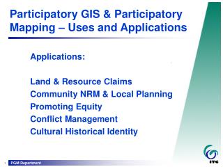
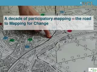
Participatory Mapping • Draws on valuable local knowledge • Recognises local people are capable research collaborators • Encourages diverse involvement • Fosters empowerment • Literacy and geography skills not essential
Community mapping in India to help decide where a well and latrines should be placed www.wateraid.org
Participatory mapping exercise in Kent, UK, exploring support needed by fathers to better engage in their children's’ lives http://www.enginegroup.co.uk
How are we going to use PM? Pathways Through Participation • The project will explore how and why people get involved and stay involved in different forms of participation over the course of their lives. • Participation means many things to many different people. The project will look at participation in a very broad sense and consider the act of taking part in a wide range of social or civic activities.
How are we going to use PM? • First stage of data collection: gauge the range of opportunities and activities for voluntary engagement in the local area and beyond. • Several mapping sessions in each community • Explore the mapping process, not just the maps themselves • Maps will aid the preparation of the second phase of the research...
Key Factors... • Practical considerations • Format • GIS • Participant recruitment • Encouraging participation across the group • Time capacity • Participant responsibility To ensure success: • Commitment to collaboration • Dissemination and follow-up action plan
Second phase... • In-depth interviews, supplemented by the maps, and maybe... • Photo elicitation? • Timelines? • Walking interviews?
We are new to Participatory Mapping, so... • Has anyone had any experience of participatory mapping? • Any advice? • Any comments or questions? To find out more about the Pathways project www.pathwaysthroughparticipation.org.uk