Download
1 / 6
70 likes | 156 Vues
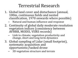
Terrestrial Ecosystem Research Breakout Group. Phil Townsend Betsy Middleton. Instructions. Priorities for data products & their stewardship Scientific directions and next challenges Effective use of airborne instruments and platforms Next major field campaign

E N D
Terrestrial Ecosystem Research Breakout Group Phil Townsend Betsy Middleton
Instructions • Priorities for data products & their stewardship • Scientific directions and next challenges • Effective use of airborne instruments and platforms • Next major field campaign • How to provide feedback to NASA from the TE community
Results • 28+ participants in the breakout group • Six major areas of feedback for the TE program • We voted to prioritize the order • Everyone got 2 votes!
Feedback • (1) Develop standards for critical TE measurements (14 votes) • Specifically: • Consistency of classification taxonomy • Global consistency of classes in routine mapping • Include disturbances in classification • Measure functional types AND their mixes • Spectral mixture analysis, e.g. savannas • Subcanopy components, lichens, moss, herb layer • Recommendation: Convene a working group (or groups) to establish the necessary classification taxonomy for TE
Continued… • (2) Support airborne data collection (11 votes) • Necessary to test potential or unscoped technologies • Test novel observation strategies • Upscaling from field to satellite measurements • (3 – tie) Support ground data collection (8) • Measurement networks: need for a long-term, GLOBAL network for cal/val, allometry (note NEON) • Common survey methodologies • Maintained and updated • Recommendation: working group
And continued….. • (3 – tie) Google-ize archival data (8 votes) • Modernize and make accessible data not currently in USGS (e.g., AVIRIS, LVIS, but also non-NASA data too?) • (5 - tie) MODIS-ize Landsat (7 votes) • Idea has multiple meanings….. • Necessity of data continuity from MODIS, i.e., fine temporal resolution and similar spectral res. • Aim for finer resolution (constellation of Landsats?) • (5 – tie) Additional measurement types (7 votes) • INSAR, L-band (aerial/space), P-band SAR