Download
1 / 6
70 likes | 196 Vues
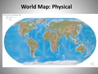
The Physical World. Map projections Landforms Climate Factors. Key Vocabulary. Map projection – ways to show the curve and flat portions of the Earth Ex: Robinson, Mercator, Interrupted, Peters Topography- Vegetation – Mountain – Elevation- Hill- Plateau-.

E N D
The Physical World Map projections Landforms Climate Factors
Key Vocabulary • Map projection – ways to show the curve and flat portions of the Earth • Ex: Robinson, Mercator, Interrupted, Peters Topography- Vegetation – Mountain – • Elevation- • Hill- • Plateau-
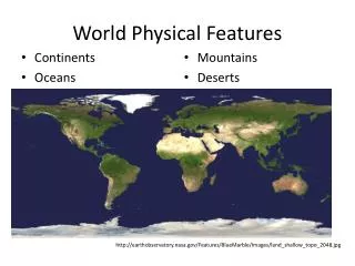
Maps and topography • Physical maps show features such as mountains, lakes and rivers. - These features are called, “topography” - climates and vegetation maps – vegetation “the green stuff” (plants, trees, etc.) - Maps show the landforms that affect culture.
What types of LandForms Affect Culture? • Mountains, elevation, hills, plains and (flatlands) • Lowlands – marsh, savanna, beach • Plateaus – areas of high, flat or rolling land. • - in hot areas, plateaus offer relief from the heat.
Climate and Location • Climate – the typical weather of a given area. • Think of the “Siesta” in Spain. • Location – the physical place on the Earth.