Download
1 / 20
200 likes | 354 Vues
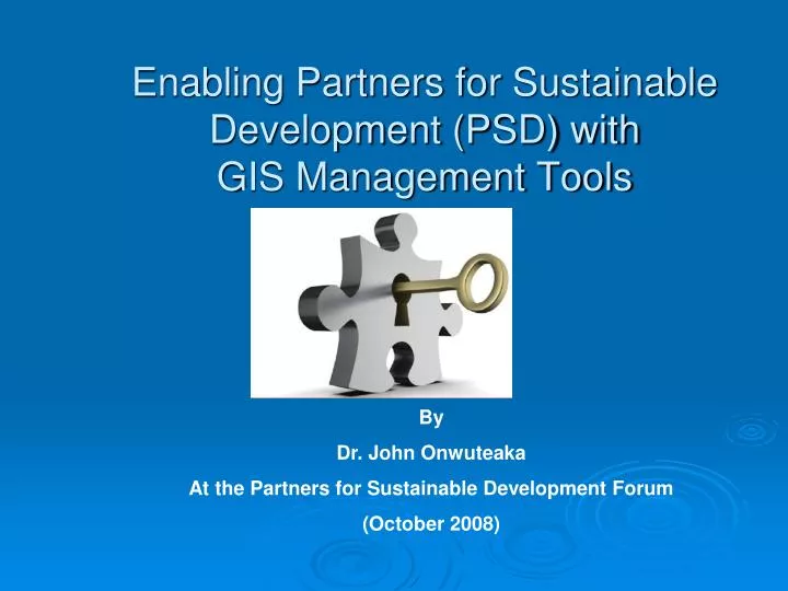
Enabling Partners for Sustainable Development (PSD) with GIS Management Tools. By Dr. John Onwuteaka At the Partners for Sustainable Development Forum (October 2008). What is the Role of PSD?. Functions

E N D
Enabling Partners for Sustainable Development (PSD) with GIS Management Tools By Dr. John Onwuteaka At the Partners for Sustainable Development Forum (October 2008)
What is the Role of PSD? Functions • Facilitate projects by stakeholders (State governments, Local Governments, NGOs and the Oil and gas companies) • Facilitate collaboration and partnering within the Niger Delta • Similarly evaluate projects in terms of consistency, feasibility, anticipated benefits, economic efficiency and human resources development within the Master Plan framework.
Why Do we need the PSD? • To transcend singularly focused business tasks or transactions of the MasterPlan implementation to colloborative/parterning initiatives • To bring all stakeholder knowledge and intelligence, not just data from the Master Plan to bear on decision making directly affecting economic development in the Niger Delta • To provide understanding of the past, the present and the future by having all the required data, knowledge and intelligence • To drive policy formulation and implementation with synergy through the • Coordination of Proposals • Coordination of Best Practices • Coordination of Interventions • Coordination of Investments • development of guidelines • development of standards framework • Coordination of social responsibility agenda
Current PSD Challenges • To reactivate the GIS geodatabase facility through an Upgrade to capture data from all development stakeholders within the Niger Delta Region • To make this database available to all stakeholders as a decision making tool and to enhance synergy and transparency, enable partnership building as well as provide basis for an all inclusive regular update of sources of information in relation to human development indices • To aid in the monitoring and evaluation of projects and programmes
Why is this Action Urgent • Increasingly Complex Decisions • Overlapping Responsibilities • Limited Financial Resources • Absence of strategies for measurement and reporting on dev. Activities in the region
Increasingly Complex Decisions • Economic Development is Regional • Public Safety issues are varied across LGA and State Boundaries • Project Planning is Multi-jurisdictional • Poverty Values are similar across the States but affect different population aggregates • HIV carriers change addresses without notice
Overlapping Responsibilities • Hundreds of Federal, State and LGA projects with new ones emerging daily • Projects from Business Sector and International Dev. Agencies • Over 1000 Oil and Gas Companies projects in the Niger Delta • Projects by NGOs
Limited Financial Resources • Inadequate funding from FGN • Low cost participation factor from oil and companies • Low or lack of contributions from States • Budget Delays
Result= Weak PSD? • Project Planning and design are impaired, leading to inefficient use of existing stakeholders assets • Project ownership is poorly defined, leading to “islands” of information • Project duplication leading to confusion and poor decision making • Intervention response times are impaired due to lack of accurate records • Budgeting for new projects are costly, wasteful and time-consuming due to inefficient data flows between stakeholders • Projects and Asset valuations become impossible • Delivery of Projects to communities suffer due to inefficiencies • Difficulties in relating stakeholders to associated Master Plan elements • Evolution of Manual operations due to insufficient data and inconsistent communication interfaces • Economic development of the Niger Delta suffer from past mistakes of uncordinated efforts. ( “the mathematics of uncordinated efforts producing a 1000 percent while coordinated effort producing 10000 percent remain an illusion)
Monitoring and Evaluation software An Access web based information system with capacity to accept input of project information from all stakeholders PSD Current Efforts A GIS Enabled collation of NDDC Projects with images, pictures and Community information
Partnering Gaps Ineffective Partnering caused by the Following: • Unavailable records of LGA dev. plans and projects. • Unavailable records of State dev. plans and projects. • Unavailable records of oil and gas dev. plans, MOUs and projects. • Unavailable records of International Agencies dev plans, MOUs and projects.
Vision forEnabled PSD with GIS Coordination • The development of a Physical Project Inventory based on a Geographic Information System(GIS) portal • The Integration of the GIS asset management strategy with the existing Monitoring and Evaluation programme into a Decison Support System(DSS) • The seamless consolidation of this proposed PSD corporate GIS with the existing NDDC GIS. • Develop linkage with proposed State and LGA enabled portals following the deployment of the DSS.
All projects and interventions are influenced by their geography by at least 70%. GIS is the only Information Management tool that adds a geographic advantage GIS is the only Information System that can manage many disparate data types while providing a visualisation, analysis and communication interface during decision making Why GIS Tool?
Proposed Action Plan • Start a Pilot in an area where many stakeholders can be identified easily – Onelga ( Shell, Agip, Elf, International Agencies, Rivers State Govt etc) • Identify all stakeholders and classify their interventions in all the sectors: • Education, Health, Agriculture, Transportation, Energy, Waste management, Public safety, community cohesion, Water Resources, SME and enterpreunal development, Industry, Commerce and Services, Banking and Financial Services, Sports Culture and Tourism, Women Development and Tourism, Housing and Urban development, ICT etc
Next Steps • Develop Strategic Business Plan template for the Pilot programme- Coordination Perfomance objectives and criteria • Design a Regional Portal • Identify and link the Portal with State Data centers with LGA Portlets since all projects devolve into an LGA • Setup a Geographic Information Council whose TOR will involve monthly meetings to conduct tactical planning and evaluate identified deliverables according to targets set by the PSD body
Next Steps • Present for review Pilot Action Plan to Stakeholders • Identify collaboration weaknesses and Strenghts • Develop Strategic Business Plan template for an Enterprise programme for the entire Niger Delta
Business Case • Establish the framework for development of the Pilot • Establish the basic performance of the Pilot • Define initial partner commitments • Identify phases of the Pilot steps • Launch Data Sharing initiatives
Next Steps • Enlist Commitments • Build Partnerships • Agree on a detailed Proposal with all the Parties to endorse • Establish Milestone targets for deliverables
Benefits of a PSD_GIS Effective Coordination • Will enhance sharing of Best Practises • Will remove Duplication • Will apply monies to Critical Need Areas • Will minimize effort and Public expenditure • Will Boost economic development • Will Provide stewardship of Partnering data • Will promote Multi-Jurisdictional Coordination • Will provide the Principle of “Build Once, Use Many Times” • Will Provide budgeting made easy