Download
1 / 20
220 likes | 378 Vues
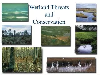
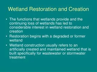
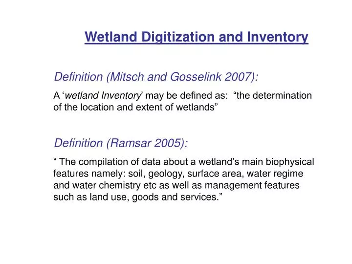
Wetland Digitization and Inventory. Definition (Mitsch and Gosselink 2007): A ‘ wetland Inventory ’ may be defined as: “the determination of the location and extent of wetlands” Definition (Ramsar 2005):

E N D
Wetland Digitization and Inventory Definition (Mitsch and Gosselink 2007): A ‘wetland Inventory’ may be defined as: “the determination of the location and extent of wetlands” Definition (Ramsar 2005): “ The compilation of data about a wetland’s main biophysical features namely: soil, geology, surface area, water regime and water chemistry etc as well as management features such as land use, goods and services.”
INTRODUCTION Type of Information required: • Objective/s of the inventory • Wetland definition • Classification systems used • Method/s of data collection
METHODOLOGY Wetland Classification: • Analysis of land use map series of Mauritius • Analysis of the Ramsar Wetland Classification Scheme and Regional wetland classification systems such as that used in the Southern African Development Community (SADC) • Landscape Unit approach used by Dugan (1990) Wetland Digitization: • Land use map series at 1: 25,000 scale (GOM-OS 1991) • Classification units • ArcGIS™ software
Methodology (Cntd) Collection of wetland attributes’ data: • Wetland names • Wetland classification • Soil maps • Underlying geology • Climate • Mean elevation • Surface area • Geographic location
RESULTS Wetland Classification: • Eight (8) ecological units were defined: • Marine coasts • Estuarine • Floodplains • Marsh/Swamp • Lacustrine • Depressions • Mangroves • Reservoirs
Results (Cntd) Wetland Digitization: 129 wetland polygons and 144 point features
Results (cntd) • Wetland Attribute Table (129 wetland polygons)
CONCLUSIONS • Total surface area of 129 digitized wetland polygons = 18.35 km2, • S.A. of inland natural wetlands = 7.08 km2 ~ 0.38% of total S.A. of Mauritius, • Marsh/Swamp ecological unit most widely distributed (50), • Most wetlands are situated in the North, East and South- East of the Island, • GIS, primary tool in the digitization and collection of wetland attributes data, • GIS wetland database may be used as a platform for addition of more accurate data, • Proper conservation and protection measures are required to preserve the ecological integrity of wetlands and stop their destruction.