Download
1 / 12
160 likes | 532 Vues
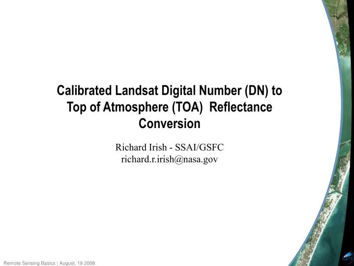
Calibrated Landsat Digital Number (DN) to Top of Atmosphere (TOA) Reflectance Conversion Richard Irish - SSAI/GSFC richard.r.irish@nasa.gov. Spectral Radiance. The landsat TM and ETM+ instruments are not household digital cameras placed in space.

E N D
Calibrated Landsat Digital Number (DN) to Top of Atmosphere (TOA) Reflectance Conversion Richard Irish - SSAI/GSFC richard.r.irish@nasa.gov
Spectral Radiance The landsat TM and ETM+ instruments are not household digital cameras placed in space. Rather they are highly calibrated imaging radiometers that produce scientifically useful observations in units of spectral radiance. The term radiance is used to characterize the entire solar spectrum while spectral radiance is used to characterize the light at a single wavelength or band interval Spectral radiance is a precise scientific term used to describe the power density of radiation; it has units of W-m-2-sr-1- m-1 (i.e. watts per unit source area, per unit solid angle, and per unit wavelength
Spherical Integrating Source ETM+ SIS is calibrated by SBRS to National Institute of Standards and Technology (NIIST) traceable standards of spectral radiance.
Calibration Function The SIS100 is equipped with 18 200-watt lamps; 6 45-watt lamps, and 10 8-watt lamps. It provided radiance levels covering the full dynamic range of the instrument in all bands, and at least 10 usable radiance levels for each band for both gain states The quantized detector(d) by detector responses, Q(d,b,s) were regressed against the integrating sphere radiance levels L(b,s) per the calibration equation: where the slopes of these regression lines are the responsivities or gains, G(d,b), and the intercepts are the biases, B(d,b) Q(d,b,s) = G(d,b) L(b,s) + B(d,b) After launch, raw DNs are converted to radiances per the equation: L(b,s) = (Q(d,b,s) - B(d,b)) / G(d,b)
255 5% margin HIGH GAIN LOW GAIN Quantized ETM+ Output Q(DN) Bias 5 L L Spectral Radiance, L Band Specific Post-calibration Lower and Upper Dynamic Range Limits
Calibrated DN to Spectral Radiance Conversion L = ((LMAX - LMIN)/(QCALMAX-QCALMIN)) * (QCAL-QCALMIN) + LMIN where: L = spectral radiance at the sensor’s aperture = the quantized calibrated pixel value in DN =the spectral radiance scaled to QCALMIN in watts/(meter squared * ster * m) =the spectral radiance scaled to QCALMAX in watts/(meter squared * ster * m) =the minimum quantized calibrated pixel value (corresponding to LMINλ) in DN = the maximum quantized calibrated pixel value QCAL LMIN LMAX QCALMIN 1 for LPGS products, 0 for NLAPS products QCALMAX (corresponding to LMAXλ) in DN = 255
Gain State Determination Curiously, unlike the Landsat Archive products the metadata accompanying the GLS products does not contain gain state information. Using Glovis go to Collections ->> Landsat Archive ->> SLC-off (2003 -> present) Under the Fill pull-down select Download Visible Browse and metadata. Open the metadata file and scroll down to view the following entries: gain_band_1 = H gain_band_2 = H gain_band_3 = H gain_band_4 = L gain_band_5 = H gain_band_6_vcid_1 = L gain_band_6_vcid_2 = H gain_band_7 = H gain_band_8 = L
2 = L d / ESUN cos() S P Spectral Radiance to TOA Reflectance Conversion where: = unitless TOA or planetary reflectance = spectral radiance at the sensor’s aperture = Earth-Sun distance in astronomical units from P L d nautical handbook or interpolated values = mean solar exoatmospheric spectral irradiance = solar zenith angle in degrees ESUN cos() S
Solar Zenith Angle From the metadata file that accompanies the GLS, GeoCover and Landsat Archive Products: SUN_ELEVATION = 51.6035637
ESUN d One astronomical unit equals 150,000,000 kilometers
Summary In most cases it’s preferable to convert satellite image data to physical quantities before using the data to intrepret the landscape. Important physical quantities include spectral radiance (surface or TOA) and spectral reflectance. It is the surface or TOA reflectance that is characteristic of a particular surface type. Temporal analyses are enhanced when variability between scenes is normalized (I.e. subtraction of illumination differences). Global change and long-term monitoring of the Earth programs and models require extraction of remotely sensed science information from multiple sensors. Accurate, consistent, and “sensor-independent” scientific observations defined by a common denominator (I.e. spectral reflectance) are essential to success.