Download
1 / 21
210 likes | 360 Vues
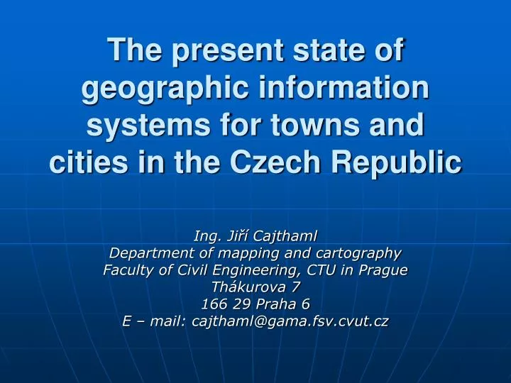
The present state of geographic information systems for towns and cities in the Czech Republic. Ing. Jiří Cajth aml Department of mapping and cartography Faculty of Civil Engineering , CTU in Pra gue Thákurova 7 166 29 Praha 6 E – mail: cajthaml@gama.fsv.cvut.cz. Aims of the work.

E N D
The present state of geographic information systems for towns and cities in the Czech Republic Ing. Jiří Cajthaml Department of mapping and cartography Faculty of Civil Engineering, CTUin Prague Thákurova 7 166 29 Praha 6 E – mail: cajthaml@gama.fsv.cvut.cz
Aims of the work - survey of usage of GIS in offices - get information about implementation - discover advantages and disadvantages of GIS products - get some relative information about GIS products and their usage - find problems of GIS usage in the CR
Specific surveys 1. Survey in municipal authorities - email correspondence with offices (58 out of 72(81%) of towns and cities answered to my questionnaire) - web pages of towns and cities - data from students work at our dempartment 2. Survey of GIS products - web pages of firms - conference reports concerning GIS -email correspondence with GISproducers
Complex IS vs. GIS - two options how to create GIS a. create complex IS with GIS part (products T-WIST, Cityware, City2000) b. create only GIS and try to cooperate withother IS, which is used in the office (widely used IS are products GINIS, Radnice VERA, MUNIS, Stavebníúřad VITA, SAP R/3, Radní, Starosta,…)
Complex IS: 14 out of 58 offices (24%) T-WIST (by T-Mapy) – 6x GIS part consist of thick client (ArcGIS or GISel) thin client (T-map server) Cityware (by Geovap) – 7x GIS part consist of thick client (Microstation + GeoStore) thin client (GSWeb)
Platform GIS vs. independent solution Two groups of software products 1. superstructures of general products (so called “platform products”) 2. independent solutions (don’t need any other software to function)
Platform GIS: 35out of 58 offices (60%) Superstructures of products by - ESRI – 14x (T-Mapy, Digis, VARS, Elgeo) - Intergraph – 1x (Espace) - Autodesk – 1x (AAC, Sitewell, DataSystem) - Bentley – 17x (Geovap, HSI, Berit) - UMN – 2x (Help Service, Help Forest)
Independent GIS: 15out of 58 offices (26%) Products by local producers - City2000 – 1x (product City2000) - Gepro – 5x (product MISYS) - Geodézie-Topos – 4x (product Gramis) - Geod. Krkonoše – 2x (product GIMIS) - T-Mapy – 1x (product GISel) - Unicom Consult – 2x (product KomPas)
Usage of RDBMS - advantages - multi-user editing - transactions - versioning - widely used - Oracle (T-Mapy, Geovap, Sitewell, Unicom, Berit,...) - MS SQL (T-Mapy, Geovap, Geodézie Krkonoše, Unicom,...) - external connection by ODBC
Approach to RDBMS - gate for storing data into database - ArcSDE by ESRI (used by T-Mapy) - GeoStore by Geovap - PostGIS – OpenSource project – gate for PostgreSQL
Support of data formats - vector data - most supported are - SHP, Coverage (by ESRI) - DWG, DXF (by Autodesk) - DGN (by Bentley) - MIF, MID (MapInfo) - VFK (interchange format of Czech cadastre) - problems with own formats of local products(VYK in MISYS, BD in Gramis,...) - universal format - GML
- raster data - most supported are TIFF, GeoTIFF, JPEG, GIF, BMP, CIT, WMF, ECW, PNG, PCX, MrSID, RLE, RAS, COT - attribute data - more modern approach is to save attributes into RDBMS
GIS functions - tools for geometrical data upkeeping - better refined in platform GIS (topology rules,...) - tools for attribute upkeeping - analytical functions - show “power of GIS”, often missing in independent solutions - visualization tools
Data for GIS - most important part (most expensive) - cadastre data (VFK or VKM+DBF) - raster cadastre maps (CIT) - ortophoto maps (TIFF, JPEG, MrSID) - urban plans (mostly DXF or DWG) - digital technical maps of cities (DTMM, mostly in format DGN) - ZABAGED - DTM - many others....
Price of GIS GIS = hardware + software + data hardware – PC, scanner, plotter, internet connection,... software – GIS product, web server, relational database,... data – up to 80% of total costs
Total costs - only 36 offices answered 1. big regional cities (6 of 36) – costs above 15 million CZK 2. bigger district cities (9 of 36) – costs between 5 and 15 million CZK 3. smaller district cities (21 of 36) - costs under 5 million CZK
Open Source GIS -GRASS – analytical GIS -PostgreSQL – relational database - PostGIS – gate for storing data into database - MapServer – map server, a project of UMN -QGIS – tool for browsing many formats of data - JUMP – tool for browsing and manipulation of many formats of spatial data (like ArcView) - Deegree - Help Service Remote Sensing – applications above Mapserver
Information about GIS implementation to offices Who implements GIS? - mostly the manufacturers of software - sometimes geodetic firms - rarely offices themselves Year of introducing GIS to the office - every year since 1996 several towns introduced GIS - no trend
GIS administration 45 offices answered 4 groups - 6x – more than 2 administrators (district cities) - 9x – 2 administrators (satisfactory) - 25x – 1 administrator - 5x – without administrator (external firms) - in many cases office network administrator is also GIS administrator
Conclusions - complex IS – best way, but it means reconstruction of whole system (problem) - platform GIS (better, more expensive, ideal for bigger cities) - independent solution (without analytical functions, cheaper, ideal for smaller towns) - data storing – best way = RDBMS - interoperability (data formats) – problems with own data formats, GML should be used - OpenSource solutions = alternative to commercial products
Thank you for your time and attention Ing. Jiří Cajthaml Department of mapping and cartography Faculty of Civil Engineering, CTUin Prague Thákurova 7 166 29 Praha 6 E – mail: cajthaml@gama.fsv.cvut.cz