Download
1 / 10
100 likes | 255 Vues
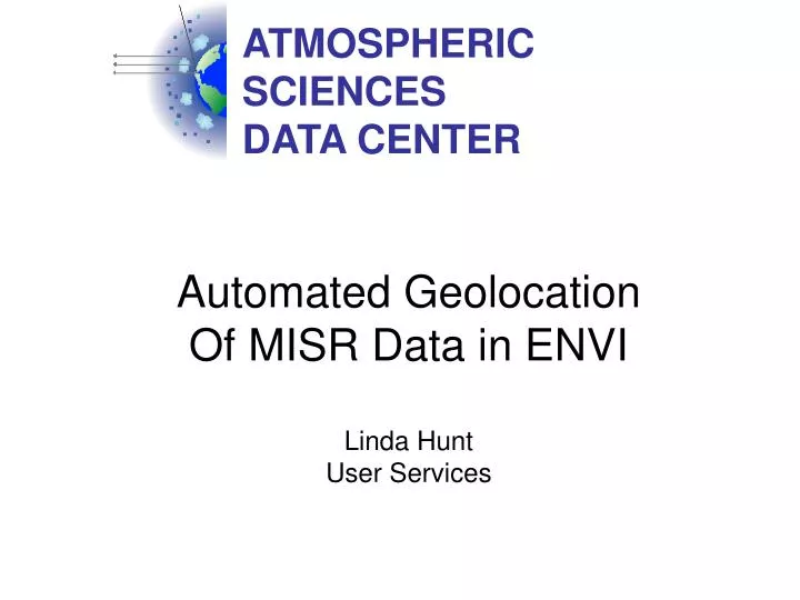
ATMOSPHERIC SCIENCES DATA CENTER. Automated Geolocation Of MISR Data in ENVI Linda Hunt User Services. misr_envi. Geolocates stacked-block L1B2 files (may be extended to Level 2 files) Provides access to a selected block range

E N D
ATMOSPHERIC SCIENCES DATA CENTER Automated Geolocation Of MISR Data in ENVI Linda Hunt User Services
misr_envi • Geolocates stacked-block L1B2 files (may be extended to Level 2 files) • Provides access to a selected block range • Makes data available by band (wavelength)
misr_envi Starting from the ENVI command line in the IDL development environment
misr_envi Starting from a custom menu addition
misr_envi Select the desired MISR L1B2 file Specify the block range of interest
misr_envi Select the corresponding MISR AGP file if desired and available
misr_envi Data from the L1B2 and AGP files are now geolocated and ready to use within ENVI