Download
1 / 22
220 likes | 345 Vues
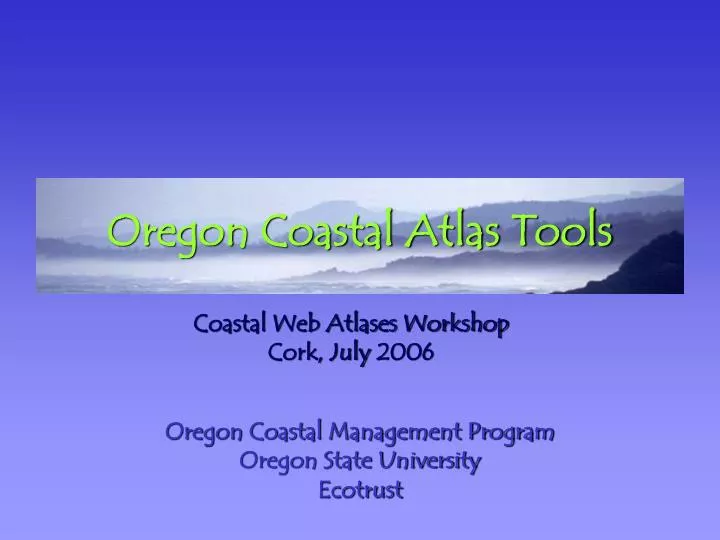
Oregon Coastal Atlas Tools. Oregon Coastal Management Program Oregon State University Ecotrust. Coastal Web Atlases Workshop Cork, July 2006. The Oregon Coastal Atlas.

E N D
Oregon Coastal Atlas Tools Oregon Coastal Management ProgramOregon State UniversityEcotrust Coastal Web Atlases WorkshopCork, July 2006
The Oregon Coastal Atlas • The Oregon Coastal Atlas is a web depot for traditional and digital information used in decision-making relating to the Oregon Coastal Zone. • It is a coastal managers web site which provides background information for different coastal systems, access to interactive mapping, geo-spatial analysis tools, and direct search & download access to natural resource data sets relating to coastal zone management.
Functional Design • What will people do with the Atlas? SearchLearnUseMap
Let’s take a Tour... www.coastalatlas.net
Search For users who know what they want GIS Layers Metadata Archive Status
Learn For Users who are curious to know more Information about: Coastal Settings Coastal Topics Technical Stuff
Tools For Users who want to apply what they know Planners Public Researchers Contributors
Maps For Users who want landscape context Prepared Maps Custom Maps Detail Information Personal Output
More on Tools… www.coastalatlas.net
What is a Tool? • Something built specifically to aid a user with the completion of a repetitive task, e.g. a shovel, a chainsaw, a bulldozer • In the context of a Coastal Atlas, different kinds of users have different abilities and different kinds of “tasks” they are dealing with resolving:- e.g. a homeowner vs. a Local Planner
Archive Search Tools • For catalogues of like data • Results may be linked to from multiple applications • Examples: GIS Archive, COMCI, Coastal Photo Database
Report Tools • Serve templated reports containing text, images, maps, charts, data, download links etc. • Initiated by a user selection or query • Results may be from, or lead to multiple data sources • Examples: Rocky Shores Inventory, Coastal Access Facilities, Beach Water Quality Reporting, Beach Morphology Monitoring
Issue-centric Tools • Demonstrate use of data & science to answer questions that repeat in space or time • Examples: Erosion Hazards Tool Suite, Watershed Tool
Story-centric Tools • Method for highlighting unique datasets
Atlas Usage to Date Year 1 Year 2 Year 3 Downloads: 42% Personalized Custom Maps 33% “Raw” GIS data from the archives 25% PDF reports and other maps 44% of all activity is in the interactive map tools
Current & Future Plans • Continue to migrate useful existing datasets into Atlas Archives • Integrate new Topic modules and tools as needed • Expand & Improve Archives Search • Update design & some design-related functionality • Update map interface and improve cartography • Update backend & unify content management schemes
Credits Contributors OCMP- Paul Klarin, Randy Dana, Tanya Haddad, Bob Bailey, David Revell, John Marra OSU- Dawn Wright, Ken Crouse, Peter Bower Chris Zanger, Danielle Pattison, Colin Cooper, Mike Tavakoli, Amythyst O'Brien, Christina Ryan, Jessica Adine, Anthea Fallen-Bailey, Jenny Allen Ryan Field Ecotrust - Michele Daily, Ben Donaldson, Mike Mertens Funding National Science Foundation NOAA Coastal Services Center Federal Geographic Data Committee
www.coastalatlas.net Thanks!