Download
1 / 38
380 likes | 522 Vues
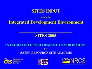
Integrated Development Environment - Output. SITES SOFTWARE APPLICATION SEMINAR. __________________________ SITES 2005 INTEGRATED DEVELOPMENT ENVIRONMENT for WATER RESOURCE SITE ANALYSIS. IDE Concept. File management Data entry Output viewing and interpretation

E N D
Integrated Development Environment - Output SITES SOFTWARE APPLICATION SEMINAR __________________________ SITES 2005 INTEGRATED DEVELOPMENT ENVIRONMENT for WATER RESOURCE SITE ANALYSIS
IDE Concept File management Data entry Output viewing and interpretation Comparison of alternatives
Watershed Schematic Single watershed and site
Edit Structure Right-click icon
AS Rainfall Rainfall depth, distribution, duration for SDH & FBH
AS Inlet Template 220’ 120’ 100’ 2’ 2.2’
AS Materials 0.02mm = 0.0008”
AS Materials Plot ML Sandstone Shale
Fill • AS overexcavated a 0.5’ and backfilled with topsoil • Describe backfilled topsoil
Topsoil PI= 10, 23% clay erosion-resistant topsoil
Open File 5 files for 5 AS widths
Summary Table Rows or columns 45 variables
Summary GraphicsAS Width vs Integrity Distance Definite change in integrity distance 60’–70’ feet AS width. AS Integrity Distance AS Width
Select File • Click 70’ AS Width row in summary table • Line highlighted • Click “View Graphs” button
AS Erosion Plot – 70’ 70’ AS
AS Erosion Plot – 60’ 60’ AS