Download
1 / 24
250 likes | 501 Vues
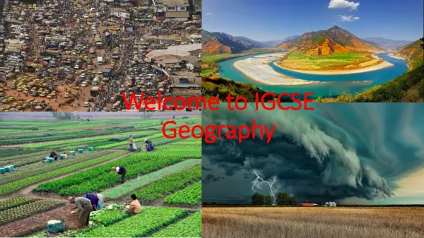
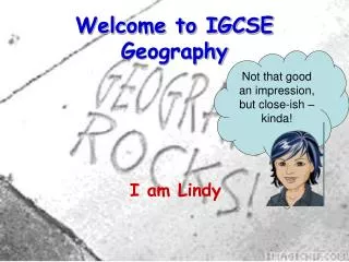
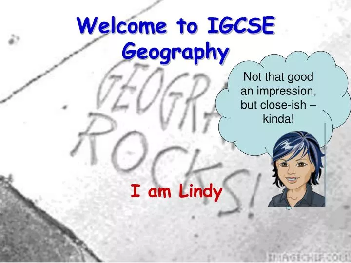
Welcome to IGCSE Geography. Not that good an impression, but close-ish – kinda!. I am Lindy. IGCSE geography is a good course. But in order to do well you will need to do much more than the hour a week we are given in class. To help you with this I have started 2 wikis specially for you guys

E N D
Welcome to IGCSE Geography Not that good an impression, but close-ish – kinda! I am Lindy
IGCSE geography is a good course • But in order to do well you will need to do much more than the hour a week we are given in class. • To help you with this I have started 2 wikis specially for you guys • One is the textbook substitute – so far there isn’t one, so I am – s..l..o..w..l..y – putting one together – I have actually done more than I have uploaded, but there are still some gaps! • The other is similar to last year – PowerPoints, class notes and homeworks + useful links and vids and stuff
The wiki is called • Ysgol Rhyngrwyd IGCSE Geography • [the reason for that you can find on the site!] • The textbook one is • http://ih-igcse-geography.wikispaces.com/ • The Lesson notes one is • http://newigcsenotes.wikispaces.com/ • I still operate the blog where I put news items that might be of interest and/or help you with your lessons called ‘Coach House geography’ and is found at • http://lindym.wordpress.com/
Every week • I will email you ( and store on the site) a worksheet for class time. • You will use it to scribble on so print it off before class – I never need see it, but you will find it useful when it comes to homework/revision to have some notes made. Start a file for these to be kept in. • If you really cannot get it printed off for whatever reason, I suggest you keep it open on your desktop during class and type into it.
The Course • Section A — The natural environment and people • You will need to study 2 of these • Topic 1 — River environments • Topic 2 — Coastal environments ? • Topic 3 — Hazardous environments ? • Section B — People and their environments • You will need to study 2 of these • Topic 4 — Economic activity and energy • Topic 5 — Ecosystems and rural environments • Topic 6 — Urban environments • Section C — Global issues • You will need to study 1 of these • Topic 7 — Fragile environments • Topic 8 — Globalisation and migration • Topic 9 — Development and human welfare
Geography IGCSE Lesson 1 Introduction
Quote from the first page of the textbook wiki! • Different way of grouping countries: • The modern exam syllabus no longer uses LEDC, NIC and MEDC - sorry guys as you have just got to grips with that!
This how they do it now • Classifying Countries by level of development • The latest World Bank economic classification of countries has been used. These are • HIC – High income country, • MIC – Medium income country, • LIC – Low income country. • These are based on the GNI - Gross National Income per capita.Gross national income(GNI) comprises the total value produced within a country (Gross Domestic Product (GDP)), together with its income received from other countries (mainly interest and share dividends), less similar payments made to other countries and is thought to be a better measure of how well off a country is than the GDP on its own. • The 3 levels for 2008 - these do change over time - but are currently as follows:Countries with a GNI per capita of $11,456 or more are described as high income countries, • between $975 and $11,455 as middle income, • and for lower income countries less than $975 per person per year.
One homework task is …. • To use the list of countries and either an atlas • or • http://bighugelabs.com/map.php • To make a map (or 3 separate ones – good if you use the link!) to show the locations of HICs, MICs and LICs. • If you use the link either send me the embed codes or put it on your version of facebook or a blog and send me the link!
Unit UA1.1: The Hydrological Cycle Textbook wiki link: http://ih-igcse-geography.wikispaces.com/1.1+Hydrological+cycle
What is happening here? 1. What do the yellow wiggly lines from the sun with No 1 attached indicate? 2.What about the blue wiggly lines from the sea show with No 2? 3. What is happening at No3? 4. And No 4? 5. Now No 5 is in 2 places – it is a very much simplified version of what happens – what is it trying to show? 6. Where does all this water eventually end up? Now lets try and fill in some of the gaps – this one is far too simple! Diagram
But is the ocean the only place where water evaporates from? Where else? Now the original simple version implied that the sun warmed the ocean which caused some of the sea water to evaporate, rise, condense to become clouds. Diagram
So where have we got to? • Water evaporates mostly from the ocean, but also from rivers, lakes, the soil and from plants. • This due to energy from the sun warming the water in all these places, allowing it to turn into water vapour. • As it is warm, the water vapour rises into the air. • As it gets higher, it cools. • Cool air can hold less water vapour than warm air and so some condenses to form clouds. • As more tiny drops of water from, they join, getting heavier all the time. • Eventually they are heavy enough to be pulled back to earth as precipitation in some form, and depending on the conditions they fall as rain, hail, sleet or snow.
This where we have got to So once the rain has fallen, the water can stay where it is or move. If it is going to stay where it is, where might this be?
If it stays where it is … • It could catch on the leaves and branches of the plants – we say the water has been intercepted • It could fall into lakes and rivers • Puddles could form on the surface. These are all fresh water surface storage • Some more snow may fall on the icecap or glacier – this is glacial storage • All these are called stores • There are another couple of stores as well for later
This where we have got to If the water is going to move, how might this happen?
If it moves … • It could run down a slope – surface run-off • It could drop into the river and be carried away • It could drip off the trees onto the ground • It could soak into the soil – this is called infiltration • If it goes even further down into the spaces between a permeable rock, this is called percolation. • All these are called flows
There are 2 flows and one intrusion (another flow), and 3 storages that we have not talked about? Also what is the blue dotted line for? This is the whole thing Fresh water storage Salt water storage Ground water storage Water table
So summing up …. • The missing terms were: • Fresh surface water storage – in lakes and reservoirs • Subsurface flow (or sometimes through flow) – we have lots of that – out every bank in wet weather little springs give evidence of it • Ground water flow – this is water that flows over the top of the water table as there is no more spaces left to fill • Salt water intrusion – comes in from the sea – ever dug a castle on the beach and had water filling the hole – taste it and you would find that is salt water intrusion • Ground water storage is the water stored in the water table that can stay there for 1000s of years – more about bore holes another time! • The water table is the top layer of rock below which all the cracks and crevices in the permeable rock is filled
As you see the watershed is the line that defines the limits of the drainage basin. Any water that lands within its limits (green arrows) will run off or infiltrate and most will eventually end up in the river channel. Any water falling on the other side of the watershed (red arrows) will end up in another drainage basin River Channel
More thoughts • What is the difference between a tributary and a confluence? • A source and a mouth? • A river basin and a river channel? • Remember we said the hydrological system was a closed system? What did that mean? • Do you think a drainage basin is an open or closed system? Why?
More thoughts • What do you think might make the flow through one drainage basin quicker or slower than another one? • Why do we might we need to know whether a river basin has a fast flow through or not? • What might help us find out which river system is likely to cause a problem and which isn’t? What would we have to measure? • http://techalive.mtu.edu/meec/demo/Watershed.html – a great animation of a drainage basin
Homework • Part 1 – mapping the different levels of economic development (50%) • Part 2 – at the beginning of each GCSE you get a diagram or a map and are asked questions about it – this week you have 2 short starter sections about the hydrological cycle and the drainage basin(50%)