Download
1 / 18
180 likes | 291 Vues
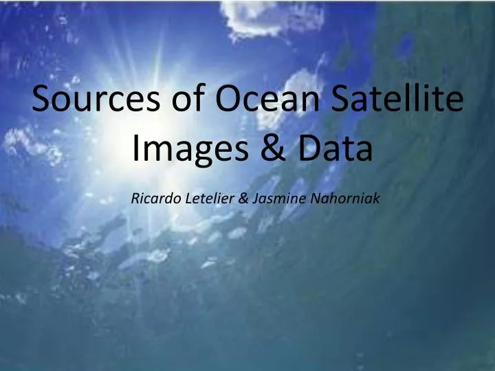
Sources of Ocean Satellite Images & Data. Ricardo Letelier & Jasmine Nahorniak. Sources of Data & Images Used by Workshop Attendees results of the pre-workshop survey. More Sources of Images.

E N D
Sources of Ocean Satellite Images & Data Ricardo Letelier & Jasmine Nahorniak
Sources of Data & Images Used by Workshop Attendeesresults of the pre-workshop survey
More Sources of Images Disclaimer: The purpose of this list is to provide an overview of the current providers of fisheries satellite imagery. This list is likely incomplete and may not be up-to-date. No endorsement is intended.
. RipCharts(Texas, www.ripcharts.com)
. Terrafin Satellite Imaging (California, www.terrafin.com)
Hilton’s Fishing Charts, LLC (Texas, www.realtime-navigator.com)
. SeaView(Ocean Imaging, California, www.seaviewfishing.com )
. CoastWatch(California, coastwatch.noaa.gov )
Colorado Center for Astrophysical Research (http://eddy.colorado.edu/ccar/data_viewer/index )
Satellite Data Generally Used in Images for Fisheries SSTNOAA 15 – 181.1 km resolutioninfraredtotal of 4-12 images per day Chlorophyll & True Color MODIS-AQUA, MODIS-TERRA, VIRRS 1-2 images per dayTrue ColorMODIS-AQUA, MODIS-TERRA 1-2 images per day Altimetry Jason2, Cryosat2 Other Data Used buoy Data - Temperature - Wave data - Wind - Salinity Topography/bathymetry meteorological data weather forecasts fishing reports oil rig reports Argo Floats Seaglider data
Questions to Address: • What do you look for in a data source? • What products characteristics are important: • - image types • - speed • - ease interpretation • - cost .... ? • How can the data sources be improved to help you with your work?
Front Detection and Persistence Analysis Kirchers et al.
River Plume Detection and Sea Surface Salinity proxy From: Palacios et al. (2009)
Spectral signatures as a tracking tool From: Sackmann & Perry (2009)