Download
1 / 33
330 likes | 479 Vues
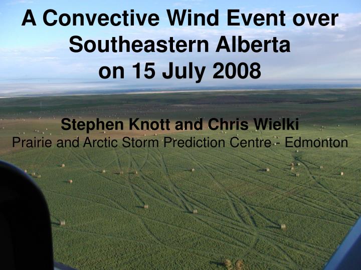
A Convective Wind Event over Southeastern Alberta on 15 July 2008. Stephen Knott and Chris Wielki Prairie and Arctic Storm Prediction Centre - Edmonton. Outline. Synoptic Setup Radar Evolution Mesoscale Convective Vortex? Post Storm Investigation Summary. 00z 16 July 2008. 250 MB.

E N D
A Convective Wind Event over Southeastern Alberta on 15 July 2008 Stephen Knott and Chris WielkiPrairie and Arctic Storm Prediction Centre - Edmonton
Outline • Synoptic Setup • Radar Evolution • Mesoscale Convective Vortex? • Post Storm Investigation • Summary
00z 16 July 2008 250 MB 500 MB 850 MB 700 MB
Vulcan Storm2240z 15 July 08 20 minutes prior to report of tornado
Vulcan TornadoRated F1 (Sills) • Path Length 100m; Path Width 30m, motion 330 • Lat/Long 50.4303/ -113.189 • Two empty grain silos (approx. weight 5000lbs) were torn from their foundations (bolted about 8 cm into cement pads) and thrown through the air approx. 70m. No sign of being rolled or dragged. Adjacent silos had some damage but did not leave their foundation (even ones with wood foundations). A few trees in the path were damaged or destroyed. Straw bales (approx. weight 1000lbs) were tossed around. Evidence of convergence in the flattened grass along the path.
Mesoscale Convective Vortex • At 0120z strong persistent rotation found at all three levels. • Vortex persists 90 minutes, diameter of 15-20 km, tracks 80km from 260 and moves north of Cypress Hills. • Radar echoes initially show hook but disintegrate into no definable pattern and yet wind damage to homes reported at Irvine.
Flanking Line associated with RFD gust front RFD Dry Slot? 7:32 pm
0120 UTC Medicine Hat 0120 UTC 0120 UTC 3.5 km CAPPI Funnel cloud picture is from Seven Persons looking towards 290 degrees ~ 0120 UTC Damage Survey Route
0130 UTC 0120 UTC 0140 UTC 0150 UTC Main damage swath was from an area just south of Seven Persons Eastwards. 215 kmh-1 measured 80 m above ground
Peak Winds and damage swath 2100 UTC 0200 UTC Speeds in kmh-1 Estimated damage path (F1 or greater) was approx 250 km long and up to 31 km wide
Summary • During the event operations believed the mesoscale vortex had a high likelihood of generating a tornado • EPWS triggered 3 times during storm lifetime, first as a dangerous supercell then along with a tornado warning • Damage survey results suggest this large-scale persistent rotation may not have equated to a tornado • apparent predominant straight line wind damage on the order of F1 and low F2 categories in the RFD region of the supercell • More work required with respect to origin of large-scale meso-vortex but authors speculate a low-level jet from near Alberta US border interacted with storm enhancing the RFD and spinning up vortex. • Was some speculation from damage path that the event may reach derecho criteria though this not the case • Weakening radar echoes did not correlate with diminishing of severe winds