Download
1 / 23
230 likes | 230 Vues
A detailed forecast briefing for the upcoming week, including the current conditions, short-term forecast, medium-range forecast, and long-range forecast, focusing on the potential AR landfall and impacts along the Pacific coast.

E N D
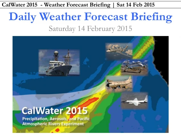
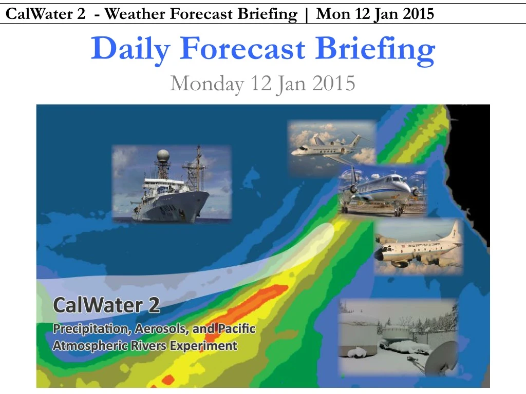
Daily Forecast Briefing Monday 12 Jan 2015
Forecast Briefing • Executive Summary • Three-part forecast: • Overview of current conditions and short-term forecast (Days ~1-3) • Focus on medium-range (Days 4-7) • Long-range (Days 8+)
Executive Summary • Short-term through Wed: Quiet conditions across east Pacific, midlatitude cyclone and AR traverses into G. of AK • Days 3-7: • Thu: AR landfall WA/OR within range of G-IV aircraft • Fri: AR reaches northern CA, stalls • Sat: Mesoscale frontal wave, AR landfall N. CA, impacts at BBY and into CV • Sun: Uncertainty, but possible third weaker AR into N. CA with impacts at BBY and into CV • Days 8+: Remnants of AR, quiet thereafter
Current Conditions Strong 100+ m/s jet stream over North Pacific that will slowly migrate eastward during the week Cyclogenesis near Japan will ultimately lead to the break down of this jet and more wave-like flow later in the week. L L H NCEP–GFS latest 250-hPa wind speed (m s-1, shaded according to color bar), 1000–500-hPa thickness (dashed contours every 6 dam), SLP (solid contours every 4 hPa), IWV (mm, shaded according to gray scale). Image from Heather Archambaulthttp://www.atmos.albany.edu/student/heathera/slp_thick/pac_latest.gif
Current Conditions GOES West Water Vapor Satellite (Left) and GOES West Infrared Enhanced Satellite (Right) http://vortex.plymouth.edu/mapwall/goes/goesWwvc.24.png http://vortex.plymouth.edu/mapwall/goes/goesWirl.24.png
Current Conditions NOAA ESRL PSD SSM/I Water Vapor: http://www.esrl.noaa.gov/psd/psd2/coastal/satres/data/images/wx_cl/6hr/recent.png
Today’s Forecast • Sacramento: • Locally dense fog clearing by 9 am PST with temperatures rising to 60F by late afternoon. Calm winds. • Generally quiescent conditions over Northeast Pacific as storm deepens over Gulf of Alaska, all eyes are on the evolution of short-term forecast and implications moving into the weekend. Monday 12 January 2015
00Z/13 Jan | 1600 PST Monday • 0.25-degree GFS +24 h forecasts of IWV (left) and IVT (right) • Today: AR-IVT conditions north of HI extending north-northeast into Gulf of Alaska • Quiescent along U.S. West Coast
Days 1–3 • Watch AR in warm sector of Gulf of Alaska low become oriented from south to north – not a key player as we look forward this week • West-southwest to east-northeast AR of interest for this weekend crosses 140W on day 2 by 00Z/15 (1600 PST Wed) • AR landfall WA/OR by 00Z/16 (1600 PST Thu) Tuesday 13 Jan through Thursday 15 Jan
00Z/14 Jan | 1600 PST Tuesday • 0.25-degree GFS +48 h forecasts of IWV (left) and IVT (right) • Tomorrow: AR-IVT conditions become more south-to-north oriented into Gulf of Alaska • Quiescent along U.S. West Coast
00Z/15 Jan | 1600 PST Wednesday • 0.25-degree GFS +72 h forecasts of IWV (left) and IVT (right) • Wednesday: Eastern AR-IVT feature weakens, stronger west-southwest to east-northeast oriented AR-IVT conditions tied to strong jet–front system moves east
00Z/16 Jan | 1600 PST Thursday • 0.25-degree GFS +96 h forecasts of IWV (left) and IVT (right) • Thursday: AR landfall in Washington and Oregon with possible impacts (precipitation) along California/Oregon border by 1600 PST Thursday
00Z/16 Jan | 1600 PST Thursday 00Z Thu 1/15 00Z Fri 1/16 P-3, 2 h ferry (no headwinds) ER-2, 2 h ferry (no headwinds) • 0.25-degree GFS +96 h forecasts of IWV (left) and IVT (right) • AR-IVT conditions within range of G-IV aircraft most of the day on Thursday and coming into range of the ER-2 and P-3 aircraft later in the day G-IV, 2 h ferry (no headwinds)
Days 4–7 • Long-duration AR landfall with likely mesoscale frontal wave • The AR will slide down the coast and weaken; AR-IVT conditions into northern CA stopping at or just short of BBY through 00Z/17 Sat (1600 PST Fri) • Second AR landfall in northern CA between 06-12Z 1/18 Sat (2200 PST Fri – 0400 PST Sat) with impacts at BBY and into CV through 06Z 1/19 Sun (2200 PST Sat) • 06Z models differ on solution for Sunday… Friday 16 Jan through Monday 19 Jan
00Z/Fri 12Z/Fri 00Z/Sat 12Z/Sat 00Z/Sun 12Z/Sun
HPC forecasting 4-7 inches (100-150 mm) of precipitation along coastal mountains in WA/OR • Forecasted IWV/IVT maps suggest that impacts could be higher north of Bay area (Santa Rosa) with locally higher amounts in northern Sierra • 00Z/12 13-km GFS suggests peak rainfall >250 mm northern CA, 75-100 mm near Santa Rosa in higher terrain and >150 mm in northern Sierra • Values are ~15-25% higher in 06Z/12 run
Jet Axis • 0.25-degree GFS +144 h forecasts of IVT (left) and IWV with Jet (right) • Ongoing AR landfall in California • For a late Saturday flight across the jet axis, G-IV would need to fly out past 130W and traverse from south of the AR (south of 30N) to near 40N.
Init 00Z/12 For 00Z Monday 1/19 Init 06Z/12 For 00Z Monday 1/19 Will send an email update with 12Z model data
Long-range Forecast (Days 8+) • Potential for weak AR target within flight range on day 8 (Remnants of dissipating AR) • Reasonable agreement among GFS ensemble members on presence of AR conditions with weak agreement of exact location and strength • Relatively benign conditions across eastern North Pacific beyond day 9 • Landfall of AR over AK/BC on days 9/10 and days 11/12 Tuesday 20 January and Beyond
Offshore Cloud Forecast • Days 1-2: Mostly clear • Day 3: Low-middle clouds associated with weak offshore AR • Day 4: Mostly clear with some low level clouds • Day 5-8: Low-high clouds associated with strong AR