Download
1 / 13
130 likes | 303 Vues
History and Impact of SciVis. 2.01. Cave Drawings and Early Language Development. Primitive man in ancient cultures left behind cave paintings and hieroglyphs. To save space and time, pictures gradually became stylized and ultimately evolved into characters. .

E N D
Cave Drawings and Early Language Development • Primitive man in ancient cultures left behind cave paintings and hieroglyphs. To save space and time, pictures gradually became stylized and ultimately evolved into characters.
Cave Drawings and Early Language Development • As societies became more complex so did languages; and as travel brought people of different cultures together, written languages evolved further to be more versatile. Hundreds of characters could be narrowed down to a select set of "letters." An entire language could then be represented using various combinations of letters.
Perspective Drawings • Through observation, artists sought methods to portray images of the world around them. • During the time of the Renaissance, perspective (space and depth relationships) became a very important part of the desire to produce realistic images.
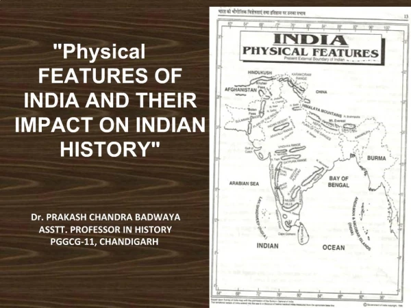
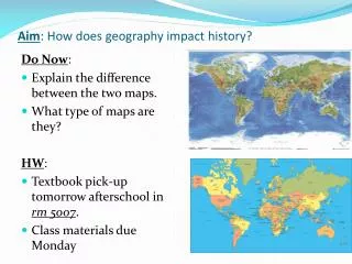
Maps • A map is a flat representation of a 3D space. • The item can be as large as our solar system or earth, or as small as chromosomal genes. • Maps show our world as a set of points, lines, and areas, using many different features, such as size, shape, value, texture, pattern, color, and orientation. • The kind of map you use depends on the kind of information you want to obtain or analyze.
Different kinds of Maps • Road Maps – Show roadways and physical boundaries. • Topographic Maps – Have contour lines that show elevation.
Different kinds of Maps • Aeronautical Maps – Have information about flight paths. • Weather Maps – Show locations of weather patterns.
Different kinds of Maps • Concept Maps – There are several kinds of concept maps. • A spider map is organized by placing the central theme or unifying factor in the center of the map. Outwardly radiating sub-themes surrounding the center of the map.
Different kinds of Maps • The hierarchy concept map presents information in a descending order of importance. The most important information is placed on the top. • The flowchart concept map organizes information in a linear format.
Different kinds of Maps • Gene Map –Shows locations of specific genes in DNA • Floor Plan – Shows rooms in a building.
Photography • The development of photography depended on understanding the physics of light to record images and chemical processes to produce permanent images. • The improvement of materials (celluloid film) and processes allowed everyone to enjoy the photographic process. This process allowed the pictures to be recorded on an easy to use medium.
Television • With the invention of television, images could be brought into the home. • Television combined sound with motion and eventually color was added.
Gel Electrophoresis DNA X-Ray MRI Satellite Imaging Telescopes Microscopes Topics covered on handout