Download
1 / 8
80 likes | 162 Vues
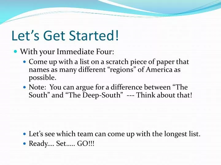
Let’s Get Started!. With your Immediate Four: Come up with a list on a scratch piece of paper that names as many different “regions” of America as possible. Note: You can argue for a difference between “The South” and “The Deep-South” --- Think about that!

E N D
Let’s Get Started! • With your Immediate Four: • Come up with a list on a scratch piece of paper that names as many different “regions” of America as possible. • Note: You can argue for a difference between “The South” and “The Deep-South” --- Think about that! • Let’s see which team can come up with the longest list. • Ready…. Set….. GO!!!
Geography Of Colonial America
Lake George, New York in 1817 What are some general characteristics about early America based on this painting? Around what geographic feature is this town situated? Why might this be? Francis Guy, Carter’s Tavern at the Head of Lake George
Plantation South –Maryland, Virginia, North Carolina, South Carolina, and Georgia • Featured wide coastal plain, wide rivers, and rich soil 1. particularly well-suited to tobacco farming. • a) Large plantations became economically more successful leading to self-sufficing economic units. • b) As indentured servants became harder to obtain (and retain), demand for slaves increased in colonies by 1776 2. Only children of planters were educated and higher education was only for those who could afford it. • 3. Plantation owners became the leading economic, political, and social forces of the South. Democracy limited to wealthy landowners.
Middle Colonies –New York, New Jersey, Pennsylvania, and Delaware 1. Three large rivers (Hudson, Delaware, and Susquehanna) flowed north to south and served as trade paths. 2. Large numbers of immigrants a). Dutch in Hudson Valley b). Germans in Pennsylvania c). Scotch-Irish in Pennsylvania
New England - New Hampshire, Massachusetts, Rhode Island, and Connecticut • 1. 95% English immigrants, most from villages • 2. Came in groups and settled in self-governing towns. New England town meeting as center of power at first, but shifted to selectmen in time. • 3. Occupations included farming (scarce labor, tough conditions), fishing, and commerce • a) Shipbuilding became major supplement to fishing and trade • b) Slavery, rum and the triangular trade with West Indies and Africa brought economic wealth to New England
Frontier Backcountry/Frontier--continually moving region: "The West." • 1. Large families, exhausted soil encouraged westward movement • 2. Religious dissenters, immigrants, and criminals all found "refuge" in the West. • 3. Vigorous spirit of democracy and emphasis on individual freedom a)Strenuous objection to any governmental interference in daily life b) Anti-aristocratic tradition and resentment of urban areas
Map Directions: • Using your notes, textbooks and abundant knowledge you already have of this topic from C&E, label the following on your map handout. Have fun • 1) Label the 13 colonies (try doing this on your own first)!!!! (13 pts) • 2) Divide East and West (which is also known as the “Frontier”) portion of the map. Label the Frontier! (2 pts.) • 3) Color each of the following a different color: (4 pts.) • New England Colonies • Middle Colonies • Southern Colonies • The frontier ***INCLUDE a map key (1 pt.) • 4) Somewhere on the page include a box for each of the 4 regions (New England, Middle, Southern and Frontier). Provide a brief description of what made each region unique. (5 pts.) ***Neatness and Accuracy count*** Total: 20 points