Download
1 / 15
150 likes | 335 Vues
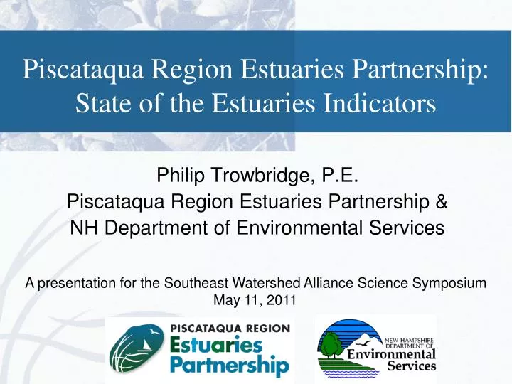
Piscataqua Region Estuaries Partnership: State of the Estuaries Indicators. Philip Trowbridge, P.E. Piscataqua Region Estuaries Partnership & NH Department of Environmental Services. A presentation for the Southeast Watershed Alliance Science Symposium May 11, 2011.

E N D
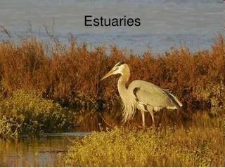
Piscataqua Region Estuaries Partnership:State of the Estuaries Indicators Philip Trowbridge, P.E. Piscataqua Region Estuaries Partnership & NH Department of Environmental Services A presentation for the Southeast Watershed Alliance Science Symposium May 11, 2011
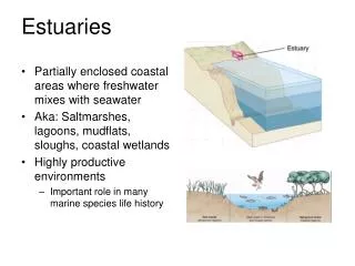
Piscataqua Region Estuaries Partnership • Great Bay and Hampton-Seabrook Harbor are estuaries of “national significance” included in the National Estuary Program of the Clean Water Act • PREP protects and enhances these estuaries: • State of the Estuaries Reports and Conference • Management Plan • Monitoring Plan • Effective Partnerships
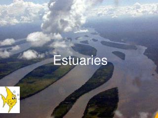
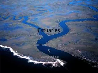
Piscataqua Region Watershed • Covers 1,086 square miles • Includes 52 towns in NH and Maine • 14% of NH and Maine population • Great Bay Estuary and Hampton-Seabrook Harbor
State of the Estuaries Report • Summary of 12 key indicators • Three focus areas • Water Quality • Critical Habitats and Species • Land Use and Development • Reviewed by advisory committee, represents current scientific consensus Available at www.prep.unh.edu/resources/soe_report.htm
Water Quality Dry weather bacteria concentrations Toxic contaminants in shellfish tissue Toxic contaminants in sediment Nitrogen in Great Bay Dissolved oxygen
Critical Habitats and Species Eelgrass Oysters Clams Anadromous Fish Habitat Restoration
Land Use and Development Impervious Surfaces Land conservation
Save the Date • The next State of the Estuaries Conference will be on December 7, 2012
PREP Management Plan (2010) • Plan to address current and emerging issues affecting the estuary and watershed • Coordinates activities of agencies, conservation organizations, and municipalities • Contains 82 specific action plans: • Reduce Pollution • Conserve Natural Areas • Restore Rivers and Bays
PREP Monitoring Plan (2011) • Describes indicators • Coordinates existing monitoring programs • Identifies data needs and gaps
Questions? Philip Trowbridge, P.E. Piscataqua Region Estuaries Partnership & NH Department of Environmental Services Philip.Trowbridge@des.nh.gov 603.271.8872