Download
1 / 15
150 likes | 341 Vues
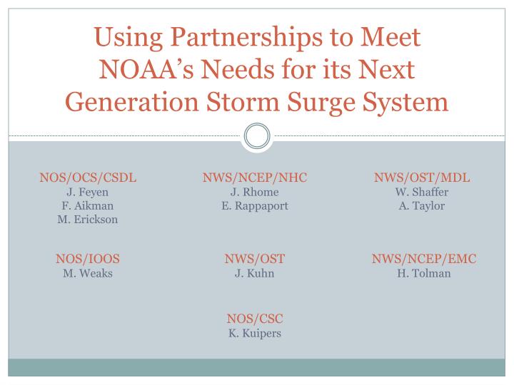
Using Partnerships to Meet NOAA’s Needs for its Next Generation Storm Surge System. NOS/OCS/CSDL J. Feyen F. Aikman M. Erickson. NWS/NCEP/NHC J. Rhome E. Rappaport. NWS/OST/MDL W. Shaffer A. Taylor. NOS/IOOS M. Weaks. NWS/OST J. Kuhn. NWS/NCEP/EMC H. Tolman. NOS/CSC

E N D
Using Partnerships to Meet NOAA’s Needs for its Next Generation Storm Surge System NOS/OCS/CSDL J. Feyen F. Aikman M. Erickson NWS/NCEP/NHC J. Rhome E. Rappaport NWS/OST/MDL W. Shaffer A. Taylor NOS/IOOS M. Weaks NWS/OST J. Kuhn NWS/NCEP/EMC H. Tolman NOS/CSC K. Kuipers
NOAA’s Storm Surge Requirements • Communicate surge risk via products supporting decision-making across multiple time scales • Coastal land-use and resilience (years to decades before event) • Emergency management planning (months to years before) • Evacuations (days before event) • Real-time response (duration of event) • Post-storm recovery (days to years after event) • Provide information with timeliness and accuracy required by each scenario
Challenges for the Next Generation System • Prediction of inundation due to total water level • Tide, wind set-up, wave set-up, wave run-up, shelf waves, precipitation, hydrology, climatological variability, … • Clear communication of actionable information • Provide assessment of uncertainty and risk • Intuitive visualization and GIS mapping of water covering land • Effective education to promote proper interpretation • Coordinated multi-agency effort for products
R & D Challenge • Effectively transferring research to operations • Research for new system based on needs for decision-making (e.g., accuracy, resolution) • Consideration of operational constraints during design • Weather forecast accuracy limitations (e.g., cone of uncertainty) • Timeliness and cost constraints (e.g., forecasts within 1 hr) • Systematic product validation using high quality observations of atmosphere and inundation • Vetting within operational environments (e.g., test bed)
Partnerships: a Way Forward • NOAA-wide team assembled from key offices across NWS, NOS, and OAR with executive steering team • Includes support from HFIP, Coastal Storms, goal teams, … • Establishing coordination with external groups that have related missions • USACE, FEMA, Navy, USGS, IOOS regional associations, academia, private companies • Community modeling approach • Share development expenses and benefits • Standards, frameworks, and benchmarks needed to streamline Research-to-Operations pathway
Towards Prediction of Total Water Level • Evaluation of ADCIRC simulations coupled to NWS operational weather and ocean models • Developing addition of tides, waves, and river inflows to SLOSH output • Planning nearshore wave model coupling to high resolution surge model (e.g., enhanced Wavewatch III with ADCIRC) • Sensitivity testing initiated for coupling between hydrologic and coastal flooding models
Prototype for Prediction of Total Water Level Basin-scale Wave Model Wave spectra Nearshore Wave Model Wave spectra Wave Stress Water Level, Currents Hurricane Weather Modeling Operational models NHC Official Forecasts Ensembles Wind, Pressure Products Coastal Ocean Modeling Water Level, Currents River Level Water Level Inflow Precipitation • Example Products • Maps and Visualizations • Ensembles, Probabilities • Product Uncertainties • Wave Conditions Hydrologic Modeling
Providing Clear Communication of Risk • Probabilistic SLOSH forecasts made operational • Prototype stand-alone surge warning from NWS • Cooperative NOAA-wide training on inundation products • GIS-based mapping and visualizations evaluated • Social science-based product design • Studies underway of behavior in response to understanding of surge nomenclature
NOS Gulf of Mexico Partnership Project • Pilot project evaluating technological advances • Conversion of model output to GIS format and mapped over data layers • 2D and 3D options • ArcGIS and Google Earth ArcGIS Google Earth
NOS Gulf of Mexico Partnership Project • 3D GIS visualization of: • model output • topography • imagery • buildings
Transfer of Research to Operations • Community-based improvements • SLOSH code modernization to improve portability • Comparing models SLOSH and ADCIRC for sample historical events • Cooperating with partners’ inundation modeling projects (e.g., CIPS, CI-FLOW, SECOORA Inundation Model Test Bed) • Community development of unstructured grid database • Operational test bed in planning • Evaluation of real-time runs for mission requirements (e.g., forecasting)
SLOSH & ADCIRC Evaluation • Hurricane Ivan hindcast; others to follow • Common atmospheric forcing from SLOSH • Different grids (structured vs. unstructured) and inputs (e.g., tides) Pensacola -Flooding barriers (e.g. dunes, jettys, etc.) -SLOSH has similar cells for barriers SLOSH and ADCIRC Grids
SLOSH & ADCIRC Evaluation • Preliminary peak water level comparison: Ivan
Next Steps • Many decisions need to be made for NOAA’s next generation system • Requires balance of adopting research and operational mission requirements • Desire to maximize utility of both internal and external products and services • Engaged in partnerships • Support community modeling-based strategy