Download
1 / 7
70 likes | 333 Vues
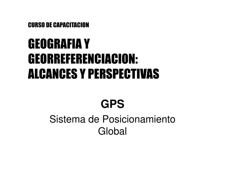
CURSO DE CAPACITACION GEOGRAFIA Y GEORREFERENCIACION: ALCANCES Y PERSPECTIVAS. GPS Sistema de Posicionamiento Global. Uso de navegador GPS. Principales pantallas. Configuración coordenadas. Menú ppal. > ajustar > unidades. Uso de navegador GPS. Waypoint, Track, Ruta, Go To….

E N D
CURSO DE CAPACITACIONGEOGRAFIA Y GEORREFERENCIACION:ALCANCES Y PERSPECTIVAS GPS Sistema de Posicionamiento Global
Uso de navegador GPS • Principales pantallas
Configuración coordenadas • Menú ppal. > ajustar > unidades
Uso de navegador GPS • Waypoint, Track, Ruta, Go To…
Práctica con navegador • Determinar coordenadas de 4 puntos y almacenarlos como waypoints • Armar ruta • Calcular distancias, rumbos, superficie • Ingresar coordenadas punto/s VERA • Go To a uno de ellos
Diferentes Marcos de Referencia • Cartas topográficas IGN: CAI’69 y PGA’07 • Cartas imagen IGN: PGA’07 (WGS’84) • Google Earth: WGS’84 • Puntos carta VERA: