Download
1 / 32
320 likes | 397 Vues
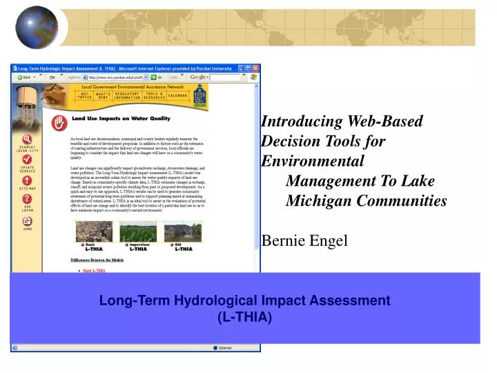
Introducing Web-Based Decision Tools for Environmental Management To Lake Michigan Communities Bernie Engel. Long-Term Hydrological Impact Assessment (L-THIA). 40%. 10%. Land Use Decisions Affect Runoff, Recharge, and Water Quality. Natural Cover. 50%. 75-100% Impervious. 35%.

E N D
Introducing Web-Based Decision Tools for Environmental • Management To Lake Michigan Communities • Bernie Engel Long-Term Hydrological Impact Assessment (L-THIA)
40% 10% Land Use Decisions Affect Runoff, Recharge, and Water Quality Natural Cover 50% 75-100% Impervious 35% 35-50% Impervious 30% 55% 30% 15% 35%
Rivers Drying Up Rivers Flooding Water Polluted Stream Banks Eroding Most communities respond to this with a mix of reactive and proactive strategies, including planning Stream Ecology Changing Wells Running Dry Wetland Habitat Shrinking
Planning The most important, large-scale, proactive step:Where you do it can be just as important as what you do Multifaceted – so how do you bring environmental concerns into this? Impact Assessment Tools
A little history…. Northeast Ohio, 1992: “Our wetlands are failing” Local Planners: Need model to assess impact of land use change on hydrology. Reality: Available models were data intensive and complex – and getting more so. The Aim: To develop a user-friendly model using basic available data for land use and soils, in response to the needs of planners and local environmental groups.
L-THIA Based on the rainfall – land cover – runoff analysis method already used in many communities Input: Land Use Pattern(s) + Soils Pattern Process: Daily Runoff and Pollutant Loading Calculations (30 years) Output: Average Annual Runoff and NPS loads for Specific Land Use Patterns
L-THIA Originally a simple spreadsheet program Now a simple web tool GIS extension version also available
Large-Scale Implementation • - ICMA (International City/County Management Association)
Example Applications of L-THIA • Impacts Assessment for: • proposed land use change and wetland hydrology. • residents downstream of a proposed land use change. • tourism / agriculture transition impacts on a coastal watershed, Barbados. • past and future land use change in an urban-rural fringe watershed, including impact fee assessment. • Watershed scale implications of land use change for NPS pollution
Plus Conservation Design Plus Buffers Full Build Out Current Example: Chagrin River Watershed Partners, Griswold Creek Watershed
Proposed approaches would reduce but not eliminate the impact + 21% + 17% + 14% Current
So how do you do it? • L-THIA Web http://www.ecn.purdue.edu/runoff/lthianew
Run L-THIA from Text Input form • State • County • Land use and hydrologic soil group selection • Area input • Click Next
Click Here Click Here Click Here http://pasture.ecn.purdue.edu/~watergen
Map Display Layer Control On/Off Reference Map Display Control Zoom in/out Pan, Full extent WD Submit Button
Watershed Delineation: Muskegon County, MI Outlet point selected
Watershed Delineation: Muskegon County, MI Results Page Result display • Run hydrologic models • Impervious Area • L-THIA • SEDSPEC • Peak Runoff Estimation
Run L-THIA : Muskegon County, MI Data Preparation and Run L-THIA
Run L-THIA : Muskegon County, MI Tables and charts for interpretation
On-line Digitizing Tool:Indian Creek, Tippecanoe County, Indiana Land Use Change Using On-line Digitizing Tool and Run L-THIA Land Use Change Report after Digitizing Land Use Change Using On-line Digitizing Tool
Run L-THIA : Muskegon County, MI But What do the Numbers Mean?
L-THIA GIS Predicted Results Runoff Depth Nitrogen Loss
Important Questions (we know they are important because…..) Cost: There is no software or site access cost. $0, honest! Knowledge / Technical Expertise: Basic Version: Middle school teachers use this with their students. Data: Basic data for IN, IL, OH, MI, and WI is online – you can start with nothing. You can use your own data and customize the tool.
Important Questions Staff: No commitment for user Platform: Basic Version: Internet Access. You can run a GIS version if you like Validity: Consistent with empirical data and other models. Accuracy increases with local calibration.
Important Questions Transparency: If you’ve forgotten, it’s explained at the web site Understandability: Tool produces average annual runoff and pollutant loadings for each land use decision. Scope: Can be used at site or broad scale, but should be used at the scale of the land use decision.
How is L-THIA Used? • Near Columbus, OH – significance of urbanization on runoff and water quality • Triangle Park, NC – comprehensive land use plan • NASA KSC, FL – impacts of historical land use change • Northeast OH – land use planning policy assessment • Indianapolis, IN – historical impacts • Kokomo, IN – TMDL development
Changing Landscapes: Anticipating the effects of local land use decisions. Long-Term Hydrological Impact Assessment (L-THIA) http://www.ecn.purdue.edu/runoff/lthianew