Download
1 / 19
190 likes | 352 Vues
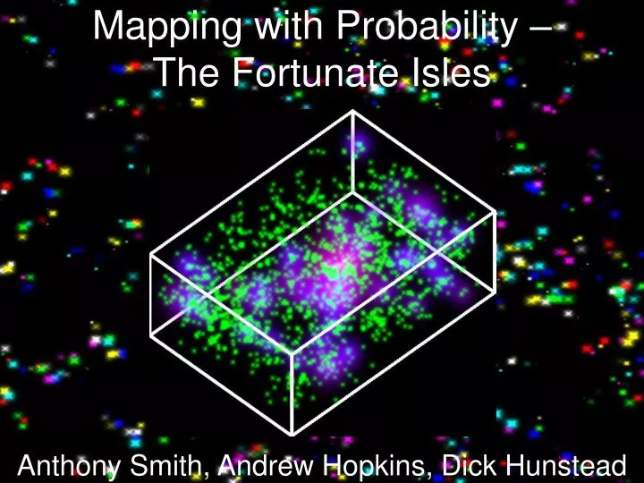
Mapping with Probability – The Fortunate Isles. Anthony Smith, Andrew Hopkins, Dick Hunstead. Galaxy Clusters. Morphology-Density SFR-Density Mass Tracers. Galaxy Cluster Abell 1689 (Hubble). Detecting Clusters - Tricks. BCG Colour-Redshift, Koester et al. 2007.

E N D
Mapping with Probability –The Fortunate Isles Anthony Smith, Andrew Hopkins, Dick Hunstead
Galaxy Clusters • Morphology-Density • SFR-Density • Mass Tracers Galaxy Cluster Abell 1689 (Hubble)
Detecting Clusters - Tricks BCG Colour-Redshift, Koester et al. 2007 Colour Clustering, Miller et al. 2005 . . . not so good for finding things you don’t expect
Detecting Clusters – Geometry (1) Smoothing Different scales, and filters, give different answers
Detecting Clusters - Geometry (2) Minimal Spanning Tree (Barrow, Bhavsar & Sonoda1985) Delaunay Tessellation Field Estimator (van de Weygaert & Schaap 2007)
Probability Smoothing Take Maximum Values Smoothing on many scales (no filter)
Scale Selection Smoothing on many scales Remember Scales that admit Maximum Probabilities
Probability and Scale Maps Probability map for density threshold, scale map for substructure P – S Equal weighting of both Probability Map (P) Comparison with Average Scale Map (S) Comparison with Surrounding Locations
Structure Identification Bank Bank • Probability Map finds Islands • Scale Map finds Banks • Set threshold in P - S Bank Island
Application to Sloan • DR7 Spectroscopic Survey, all galaxies with r < 17.77 (~ 620 000), median redshift ~ 0.1 • Use galaxies as an adaptive grid • Sample scales 0.25 – 1 h-1 Mpc in steps of 0.05 • Line-of-sight Redshift radius 50 h-1 Mpc • Threshold in Probability minus Scale of 0.5 • Minimum Membership of 4
Scaling Redshift Radii z < 0.1 100 h -1 Mpc Relative Galaxy Density z > 0.1 -50 h-1 Mpc 50 h-1 Mpc Line-of-Sight
Running it for Real • Catalogue contains 3475 clusters • 0.025 < z < 0.22 • Mean cluster radius 0.65 h -1 Mpc Raising the P – S threshold in the 0.025 < z < 0.05 redshift slice
Occupation Values Low Occupation Value; Filamentary High Occupation Value; Clustery Number 0 Occupation Value 1
Scale Distribution Us r 0 Radius (h-1 Mpc) 1.5 Berlind et al. 2006 Yoon et al. 2008 0 Radius (h-1 Mpc) 1.5 0 Radius (h-1 Mpc) 1.5
3D Visualisation 70 h -1 Mpc Clusters from 0.025 < z < 0.05
Summary • Have designed and implemented a multi-scale structure identification algorithm • Minimal assumptions made about cluster properties • Identified ~3500 clusters in the Sloan Digital Sky Survey to z = 0.22 • Positions and Scale distribution are consistent with previous studies
Further Work • Comparisons with other catalogues • Quantify cluster properties; refine occupation statistic • Examine intracluster galaxy populations • Use photometric data • Extend to larger scales